Playspot
MI
marked 'rapids'
Save this feature with the run it belongs to.
No sufficiently local live gauge linked. 1 automated match was excluded because locality could not be verified. Use the parent run and local sources before making a trip decision.
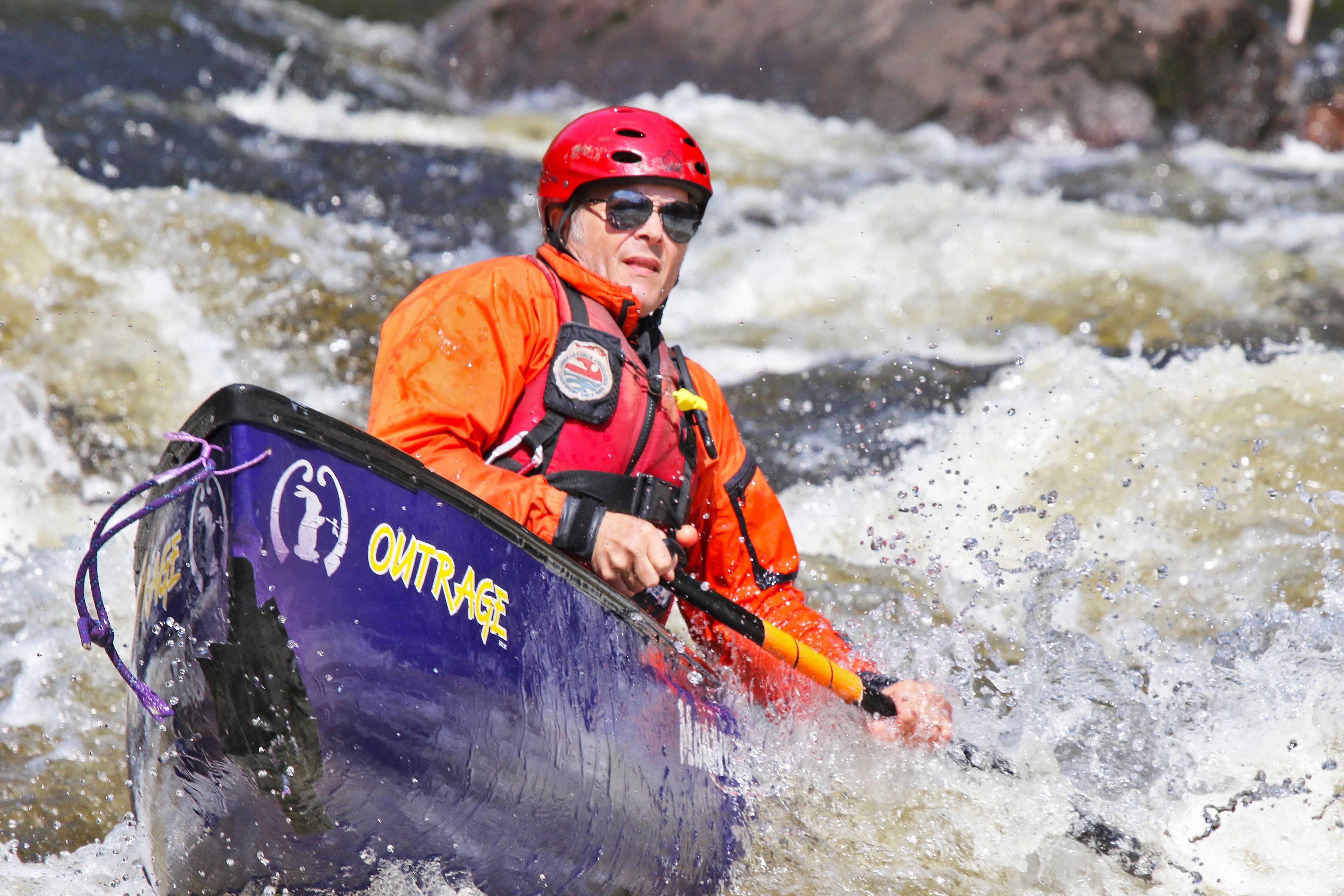
Photo

Photo courtesy of American Whitewater
Description
The Chocolay River's rapids near Highway 41 offer a modest playspot with a surfable wave that provides local kayakers a chance to practice river techniques. While specific difficulty and hazard details are limited, paddlers should expect typical river obstacles like potential submerged rocks and variable water levels that could impact wave quality and navigation.
Location
Other Rapids on This Run (4)

View Full Run
Hwy.41 to Cty Road BH (Green Garden Rd) (5.7 miles)
Chocolay
I-II(III)
5.2 mi
Current Conditions
5-Day Forecast
Whitewater data from
American Whitewater
American Whitewater