Rapid
WI
Drainage at Put-in: ~602 square miles
Save this feature with the run it belongs to.
Gauge Conditions
Runnable: ? – ? CFS
Approximate - nearest available gauge. Use as general reference only.
Data from American Whitewater & USGS
Description
As calculated by USGS StreamStats V4.3.11, drainage at the listed put-in is 602 square miles.This is nearly 30% more than drainage at the USGS gauge on the Wolf at Langlade.(Thus, on average, on might expect flows in this section to be 1.3 * that gauge reading.)By the take-out below Keshena Falls, drainage has increased to 790 square miles (another 31% increase).
Location
Interactive river map
Loads as you approach this section.
Other Rapids on This Run (13)
 Rapid
N/A
Rapid
N/A
Put In
Rapid
II
Turtle Rapids
Rapid
II+
White Rapids
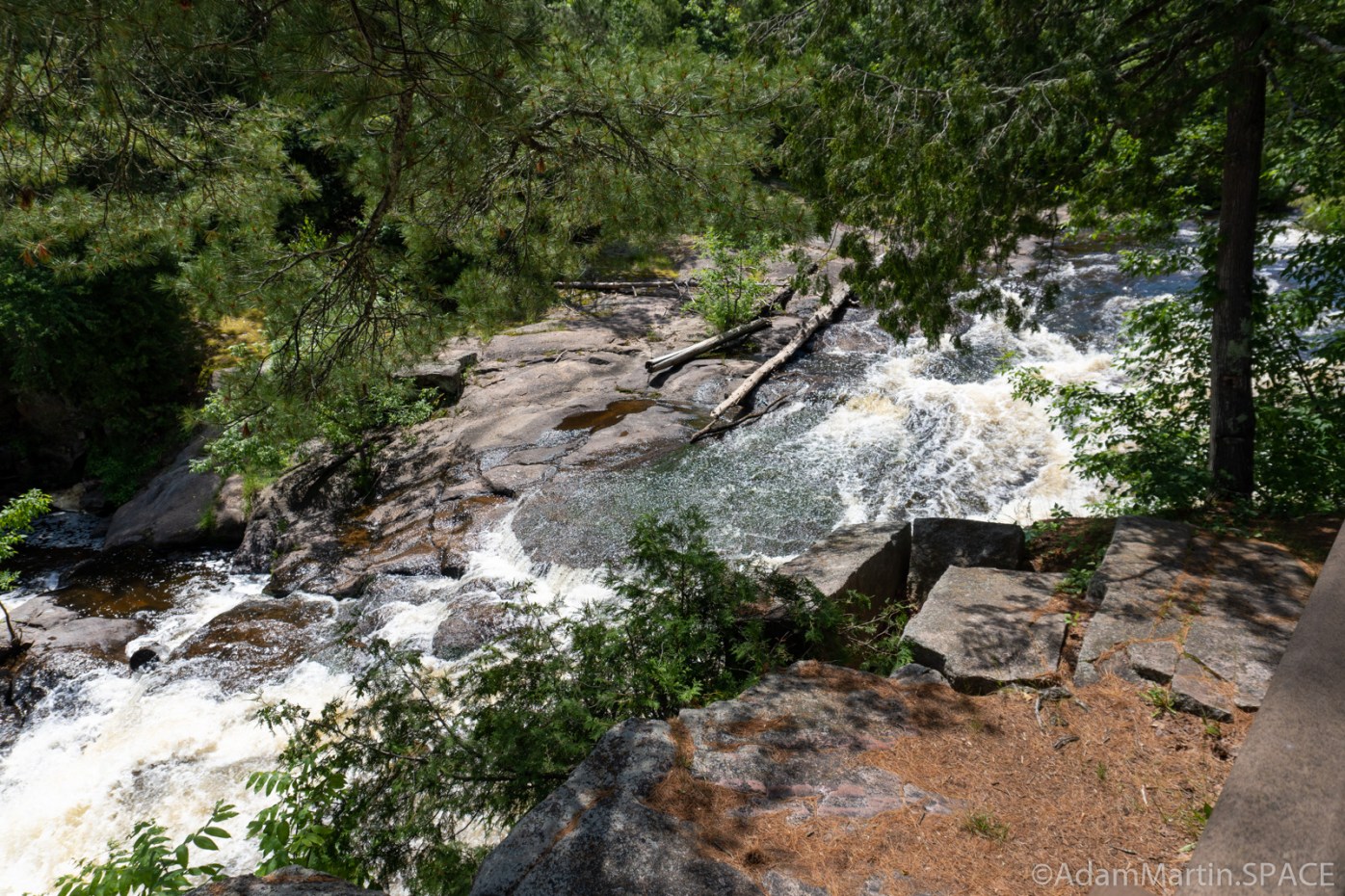 Waterfall
III+
Waterfall
III+
Big Eddy Falls
Rapid
N/A
Wolf River Rapids
Rapid
N/A
Bear Trap Falls Road/BIA 16
Rapid
N/A
Confluence with W.Br.Wolf
Rapid
N/A
minor, unnamed feature
Rapid
N/A
Spirit Rock
Rapid
N/A
Crescent Isle
Rapid
N/A
Wavetrain and Bedrock Dike
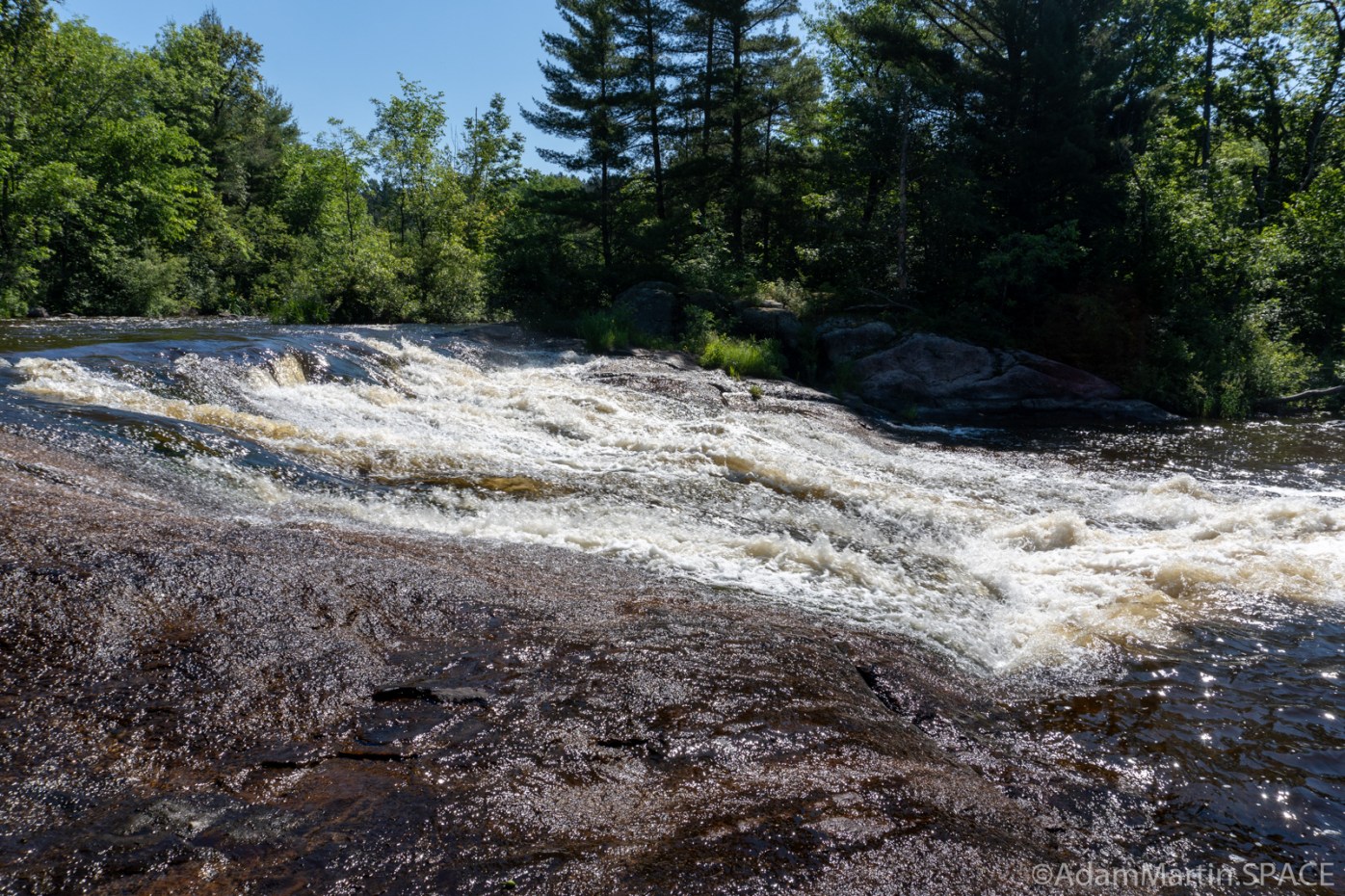 Waterfall
N/A
Waterfall
N/A
Keshena Falls
 Rapid
N/A
Rapid
N/A
Take Out
View Full Run
G) Five Islands to Keshena Falls (9.5 miles) ** ACCESS ISSUES **
Wolf
I-III+
9.0 mi
Current Conditions
5-Day Forecast
Whitewater data from
American Whitewater
American Whitewater