Rapid
AK
End of Montana Creek Road
Save this feature with the run it belongs to.
Gauge Conditions
Data from American Whitewater & USGS
Photo
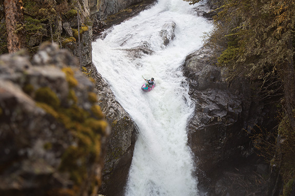
Photo courtesy of American Whitewater
Description
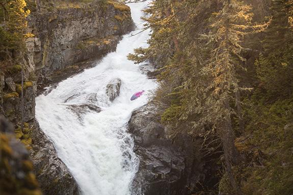
The rapid at the end of Montana Creek Road marks the confluence of Montana Creek and the Mendenhall River, featuring a complex transition with potential for shifting hydraulics and submerged obstacles. Paddlers should carefully scout the area, as the transition point may present unexpected currents and rock formations that can quickly change with water levels. Local knowledge and careful route selection are critical for navigating this section safely.
Location
Other Rapids on This Run (2)
View Full Run
McGuinness Creek to Mendenhall River
Montana Creek
II-III+
6.4 mi
Current Conditions
5-Day Forecast
Whitewater data from
American Whitewater
American Whitewater