Take-out
AK
Take Out
Save this feature with the run it belongs to.
Gauge Conditions
Data from American Whitewater & USGS
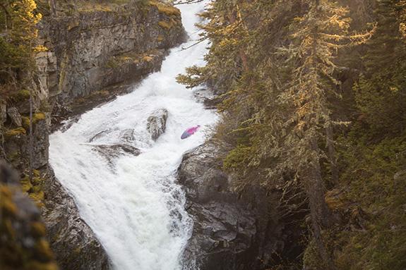
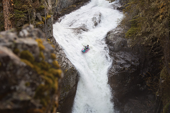
Photo
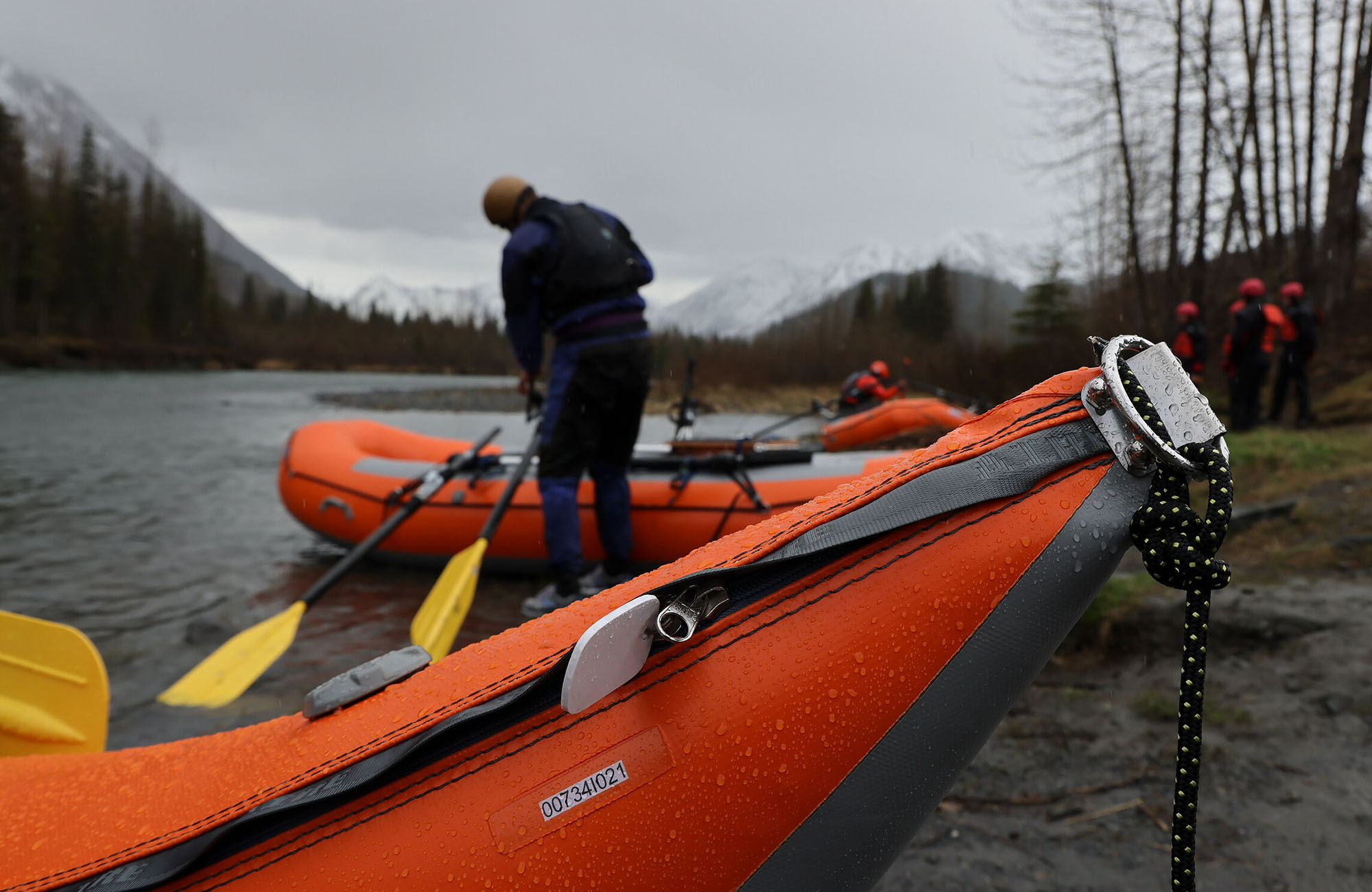
Photo courtesy of American Whitewater
Description
Take Out rapid presents limited information due to lack of specific difficulty rating and detailed route description. Paddlers approaching this section should conduct thorough scouting and local reconnaissance before attempting the run. Local river conditions and water levels will significantly impact navigability and potential hazards.
Location
Other Rapids on This Run (2)
View Full Run
McGuinness Creek to Mendenhall River
Montana Creek
II-III+
6.4 mi
Current Conditions
5-Day Forecast
Whitewater data from
American Whitewater
American Whitewater