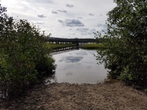
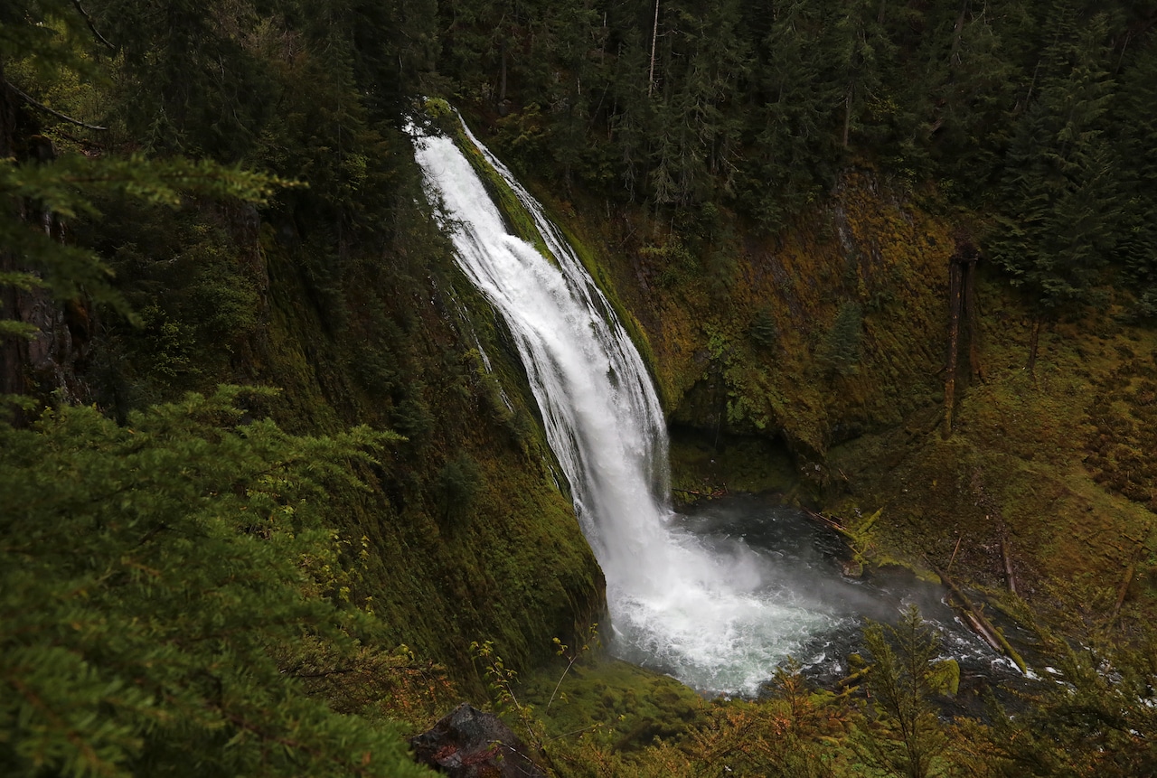
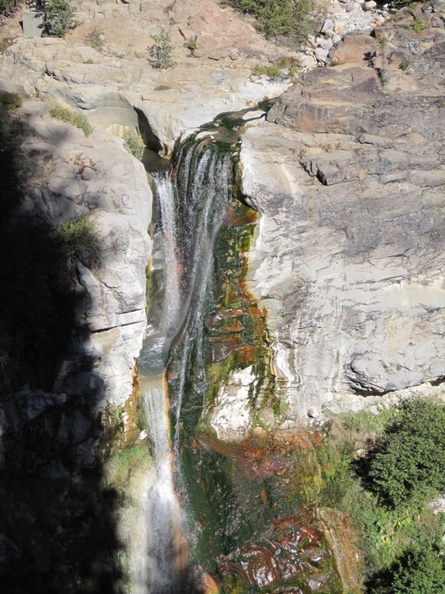
End of the Gorge
Save this feature with the run it belongs to.
No sufficiently local live gauge linked. 1 automated match was excluded because locality could not be verified. Use the parent run and local sources before making a trip decision.
Photo
Photo courtesy of American Whitewater
Description
There are several wavetrains and surf wave on the way out of the gorge. Nothing too big, but enough to stay entertained.
Location
Other Rapids on This Run (11)
View Full Run
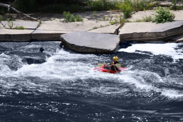
2. Waterloo Falls to Spring Creek Community
Spring Creek
II-III(IV)
8.9 mi
Current Conditions
5-Day Forecast
Whitewater data from
American Whitewater
American Whitewater