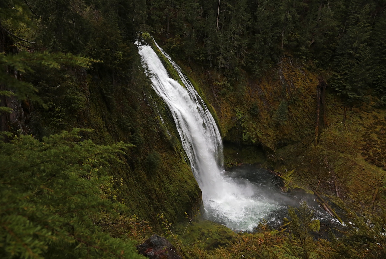
How's Your
River
×
Explore
Explore Map
Water Bodies
Gauges
Access Sites
Tidal Stations
Whitewater
Pricing
Login
Sign Up
Hazard Warning:
Hazard information may be user-submitted and unverified. Conditions change frequently. Always scout rapids and obstacles yourself.
Whitewater
Tennessee
Spring Creek - 2. Waterloo Falls to Spring Creek Community
Mill Creek Falls
Waterfall
TN
Class I
Mill Creek Falls
Spring Creek - 2. Waterloo Falls to Spring Creek Community (TN)
Monitor this Rapid
Water Body
This Run
Map
Other Rapids
Gauge
Weather
Directions
Gauge Conditions
Primary
Runnable: 2.5 – 8.0 FT
Data from
American Whitewater
&
USGS
Photo
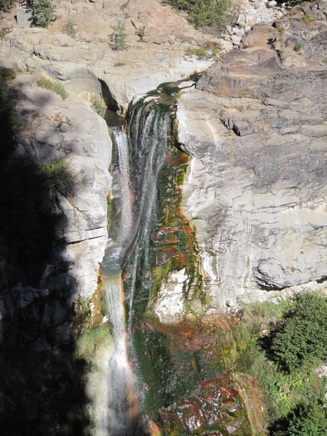
Photo courtesy of
American Whitewater
Description
This water fall comes in from the river left. There are several waves leading up to it. The waterfall is not on the river, just flowing in.
Location
Radar
Counties
Cell
Verizon
AT&T
T-Mobile
Dark
Satellite
Terrain
Other Rapids on This Run (11)
Waterfall
V
Waterloo Falls
0.0 mi
Waterfall
III
First Ledge
0.1 mi
Waterfall
III+
Meatgrinder
0.3 mi
Playspot
II
First Play Hole
0.5 mi
Playspot
II+
Second Play Hole
0.6 mi
Waterfall
II+
Electric Slide
0.8 mi
Waterfall
IV
Big Daddy and Horseshoe
0.9 mi
Playspot
II
Splat Rock
1.2 mi
Waterfall
II
Crap Chute
1.2 mi
Playspot
II
End of the Gorge
2.0 mi
Rapid
Takeout
4.0 mi
Type
Waterfall
Difficulty
Class I
Mile Marker
1.0 mi
Directions
Navigate
View Full Run
2. Waterloo Falls to Spring Creek Community
Spring Creek
II-III(IV)
8.9 mi
Current Conditions
5-Day Forecast
Whitewater data from
American Whitewater
Mill Creek Falls