"Entrance" Rapid (approx.)
Save this feature with the run it belongs to.
Gauge Conditions
Runnable: 900.0 – 5,000.0 CFS
Upper limit for best boatability uncertain. Please help your fellow boaters with a comment or report.
Data from American Whitewater & USGS
Photo
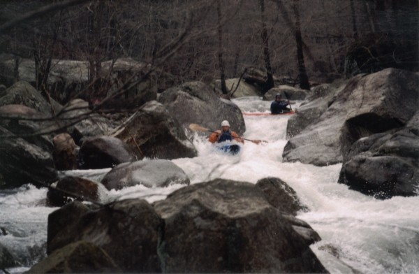
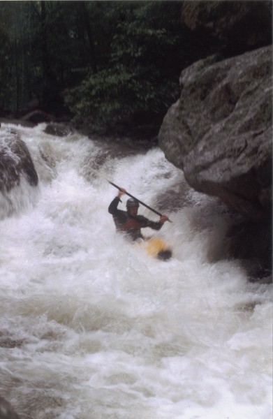
Photo courtesy of American Whitewater
Description
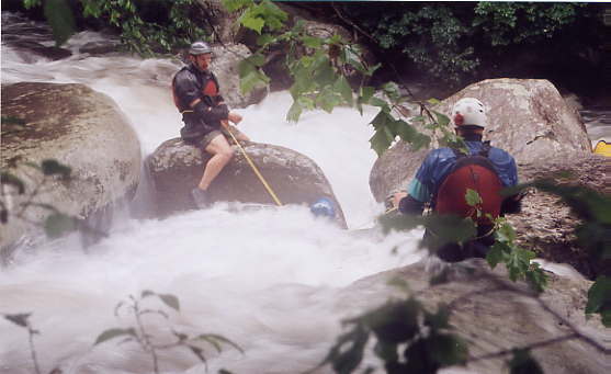
Location is approximate. For the first-descent, and a few runs afterward, paddlers put in not far above this rapid, hence the name. It is hard to identify from above, so you'll want a local guide. Otherwise, too-late you may notice that almost all the water is flowing through a slot about 4-feet wide, into a loosely jumbled rock garden. Drop that slot with some momentum to punch the hole at the base of the slot. After that, just go with the flow and keep your boat in control and your bow pointed downstream.
Location
Interactive river map
Loads as you approach this section.
View Full Run
Above Nash to Confluence with Tye R.
Tye, North Fork
V
3.0 mi
Current Conditions
5-Day Forecast
Whitewater data from
American Whitewater
American Whitewater