Put-in
VA
Put In
Save this feature with the run it belongs to.
Gauge Conditions
Runnable: 900.0 – 5,000.0 CFS
Upper limit for best boatability uncertain. Please help your fellow boaters with a comment or report.
Data from American Whitewater & USGS
Photo
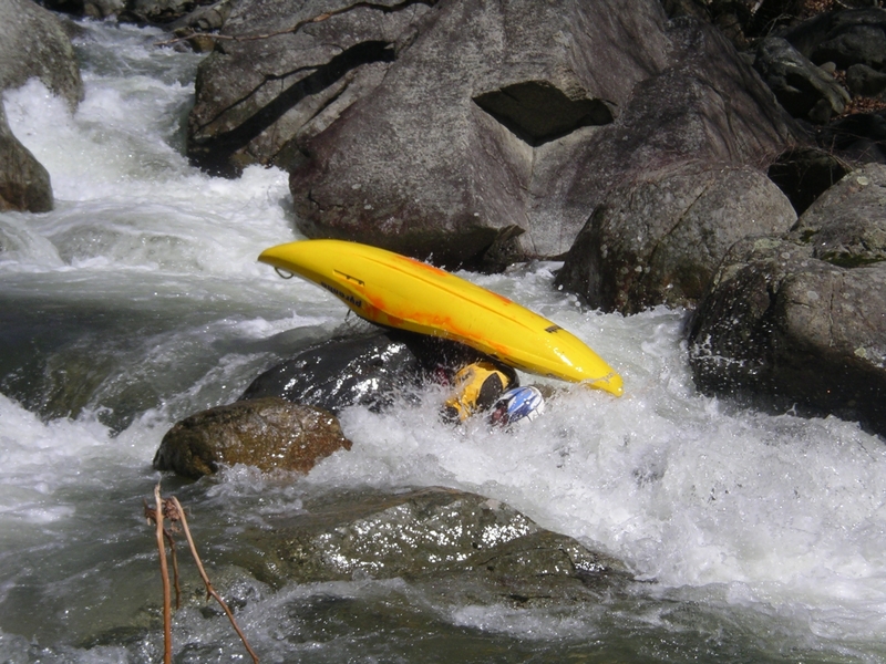
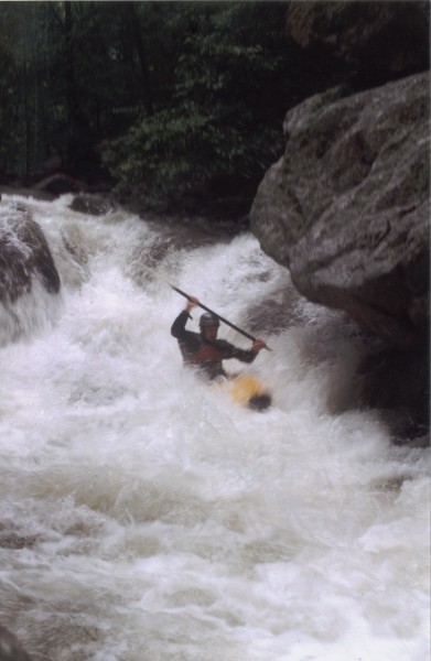
Photo courtesy of American Whitewater
Description
The usual put-in for the North Fork Tye is at the confluence with White Rock Creek. This is around 3 miles above the church take-out. There is a one-lane bridge and a sign that says "Rainbow Mountain Wildlife Sanctuary." Park before the bridge, leaving plenty of room for other vehicles to park, or pass by on the road. Respect private property. There is not much parking at the put-in so please try to minimize the number of cars going to the put-in.
Location
Interactive river map
Loads as you approach this section.
View Full Run
Above Nash to Confluence with Tye R.
Tye, North Fork
V
3.0 mi
Current Conditions
5-Day Forecast
Whitewater data from
American Whitewater
American Whitewater