Rapid
TN
Filtration Plant Weir
Save this feature with the run it belongs to.
Gauge Conditions
Data from American Whitewater & USGS
Description
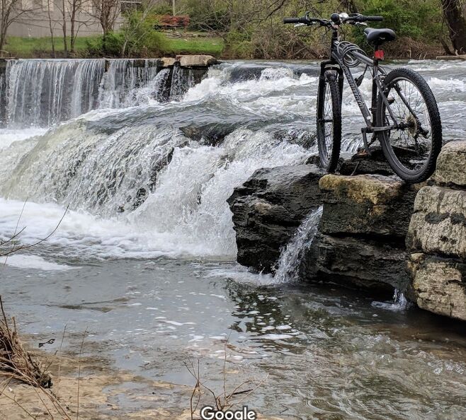
As the river passes the filtration plant, look for a very low weir (dam). It appears likely not to cause any problem, and (at some flows) may actually present some play potential. (If anyone has contrary information, please comment below!)
Location
Interactive river map
Loads as you approach this section.
Other Rapids on This Run (20)
Rapid
N/A
Apparent Dam (!)
 Rapid
N/A
Rapid
N/A
Put In
Rapid
I
Rocky Outcropping
 Rapid
II
Rapid
II
Series of shoals
Rapid
N/A
Foot/Bike-Path Bridge
Rapid
N/A
Rocky Squeezes
 Rapid
N/A
Rapid
N/A
Rockdam#1
 Rapid
N/A
Rapid
N/A
Rockdam#2
Rapid
N/A
Southridge Boulevard Footbridge
Rapid
N/A
Rock Blocks
 Rapid
N/A
Rapid
N/A
Confluence, Middle Fork Stones
Rapid
N/A
Sterling Farmer Dam (!)
Rapid
N/A
Cason Trail Park
Rapid
N/A
Trail Bridge
Rapid
N/A
Racquet Club Shoals
 Rapid
N/A
Rapid
N/A
Interstate 24
Rapid
N/A
Bridge Avenue
Rapid
N/A
Old Fort GC Bridge
 Rapid
N/A
Rapid
N/A
Parkway Dams (!)
Rapid
N/A
Bark Park
View Full Run
Barfield Crescent Road to Nice Mill Dam
Stones, W.Fk.
II(III)
17.8 mi
Current Conditions
5-Day Forecast
Whitewater data from
American Whitewater
American Whitewater