Barfield Crescent Road to Nice Mill Dam
Gauge Conditions
Runnable: 300.0 – 2,000.0 CFS
Data from American Whitewater & USGS
Run Map
Interactive run map
Loads as you approach this section.
Run Time Estimate
Select put-in and take-out to estimate time.
Plan This Trip
See wind-adjusted speed maps, forecast planning, and detailed time estimates.
Sign in to generate an AI timing estimate for this run.
Whitewater timing varies with scouting, portages, and group pace. Use as a planning baseline.
Description
This long stretch is flatwater, punctuated by numerous shoals, a few ledge/waves, and a couple dams. Caution may be required around dams as they may form uniform hydraulics at many flows. (Scout, and be prepared to portage.) Various alternate access points allow trips of varying lengths. As well, the best feature(s) may readily be done as park-and-play.
Rapids in this Run (29)
Rapid
Apparent Dam (!)
Rapid
I
Rocky Outcropping
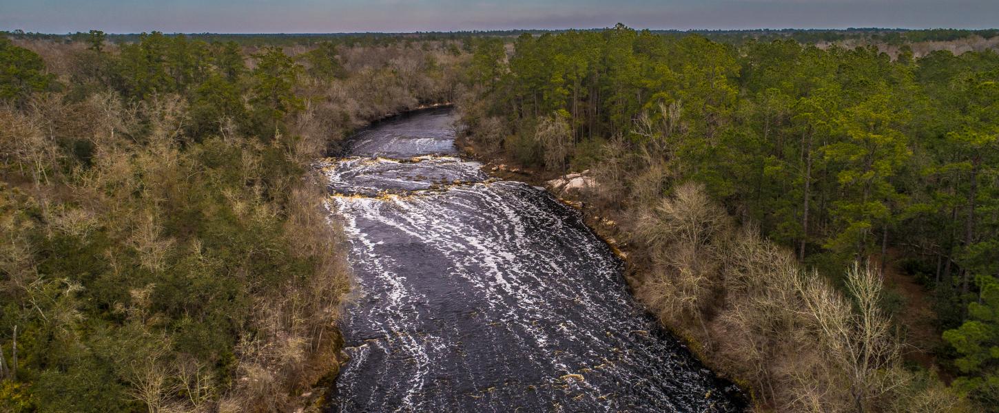 Rapid
II
Rapid
II
Series of shoals
Rapid
Foot/Bike-Path Bridge
Rapid
Rocky Squeezes
 Rapid
Rapid
Rockdam#1
 Rapid
Rapid
Rockdam#2
Rapid
Southridge Boulevard Footbridge
Rapid
Rock Blocks
 Rapid
Rapid
Confluence, Middle Fork Stones
Rapid
Sterling Farmer Dam (!)
Rapid
Cason Trail Park
Rapid
Trail Bridge
Rapid
Racquet Club Shoals
 Rapid
Rapid
Interstate 24
Rapid
Bridge Avenue
Rapid
Old Fort GC Bridge
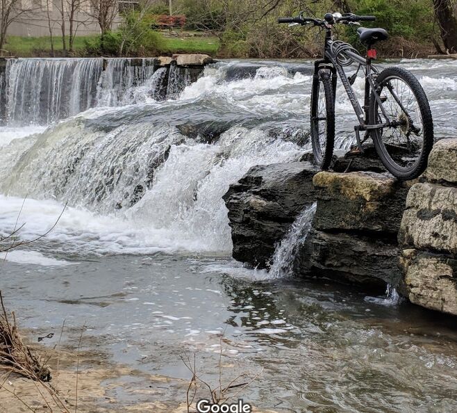 Rapid
Rapid
Parkway Dams (!)
Rapid
Bark Park
Rapid
Islands
Rapid
Possible Feature(s)
 Rapid
Rapid
Riffles/Waves
Rapid
Battlefield Parkway Shoals
Rapid
Shoals/bedrock/rips
Rapid
Confluence, Sinking Creek
Rapid
Filtration Plant Weir
Rapid
Approaching Hwy.840
Rapid
Additional Shoals
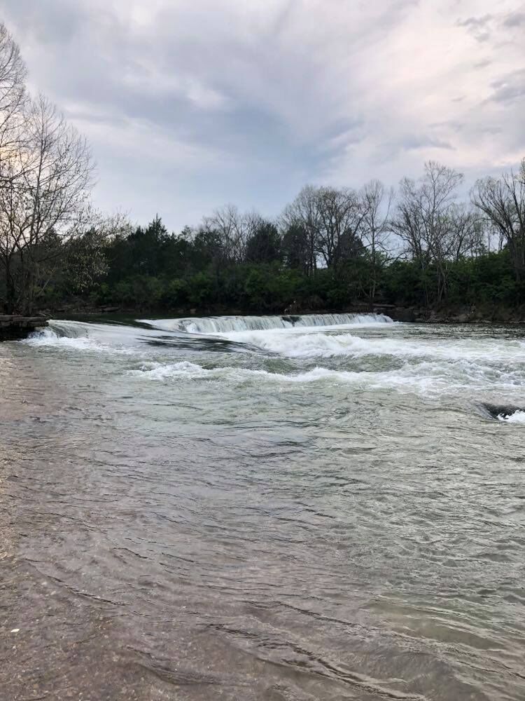 Rapid
Rapid
Nice Mill Dam (!)
Playspots (1)

Difficulty
Class II(III)
Length
17.8 mi
Rapids
29
Access Points
Difficulty Classes
I Easy
II Novice
III Intermediate
IV Advanced
V Expert/Extreme
VI Unrunnable
Current Conditions
5-Day Forecast
Whitewater data from
American Whitewater
American Whitewater