Rapid
TN
Shoals/bedrock/rips
Save this feature with the run it belongs to.
Gauge Conditions
Data from American Whitewater & USGS
Description
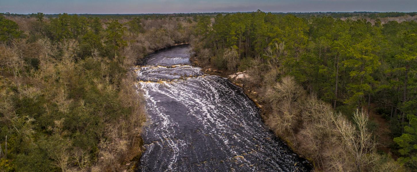
Before getting to Blanton Avenue, there may be some area of shoals and rips (waves). Immediately downstream of the bridge (at a major rocky prominence on river-right) there may be an interesting ledge.
Location
Interactive river map
Loads as you approach this section.
Other Rapids on This Run (20)
Rapid
N/A
Apparent Dam (!)
 Rapid
N/A
Rapid
N/A
Put In
Rapid
I
Rocky Outcropping
 Rapid
II
Rapid
II
Series of shoals
Rapid
N/A
Foot/Bike-Path Bridge
Rapid
N/A
Rocky Squeezes
 Rapid
N/A
Rapid
N/A
Rockdam#1
 Rapid
N/A
Rapid
N/A
Rockdam#2
Rapid
N/A
Southridge Boulevard Footbridge
Rapid
N/A
Rock Blocks
 Rapid
N/A
Rapid
N/A
Confluence, Middle Fork Stones
Rapid
N/A
Sterling Farmer Dam (!)
Rapid
N/A
Cason Trail Park
Rapid
N/A
Trail Bridge
Rapid
N/A
Racquet Club Shoals
 Rapid
N/A
Rapid
N/A
Interstate 24
Rapid
N/A
Bridge Avenue
Rapid
N/A
Old Fort GC Bridge
 Rapid
N/A
Rapid
N/A
Parkway Dams (!)
Rapid
N/A
Bark Park
View Full Run
Barfield Crescent Road to Nice Mill Dam
Stones, W.Fk.
II(III)
17.8 mi
Current Conditions
5-Day Forecast
Whitewater data from
American Whitewater
American Whitewater