First downstream gradient
Cascade - A) The Grade/153 to Cascade River Road/157 (6.8 miles) (MN)
Gauge Conditions
Approximate - nearest available gauge. Use as general reference only.
Photo
Description
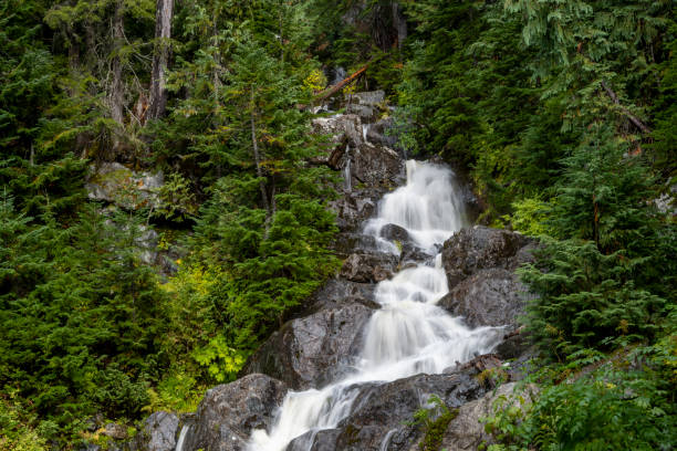
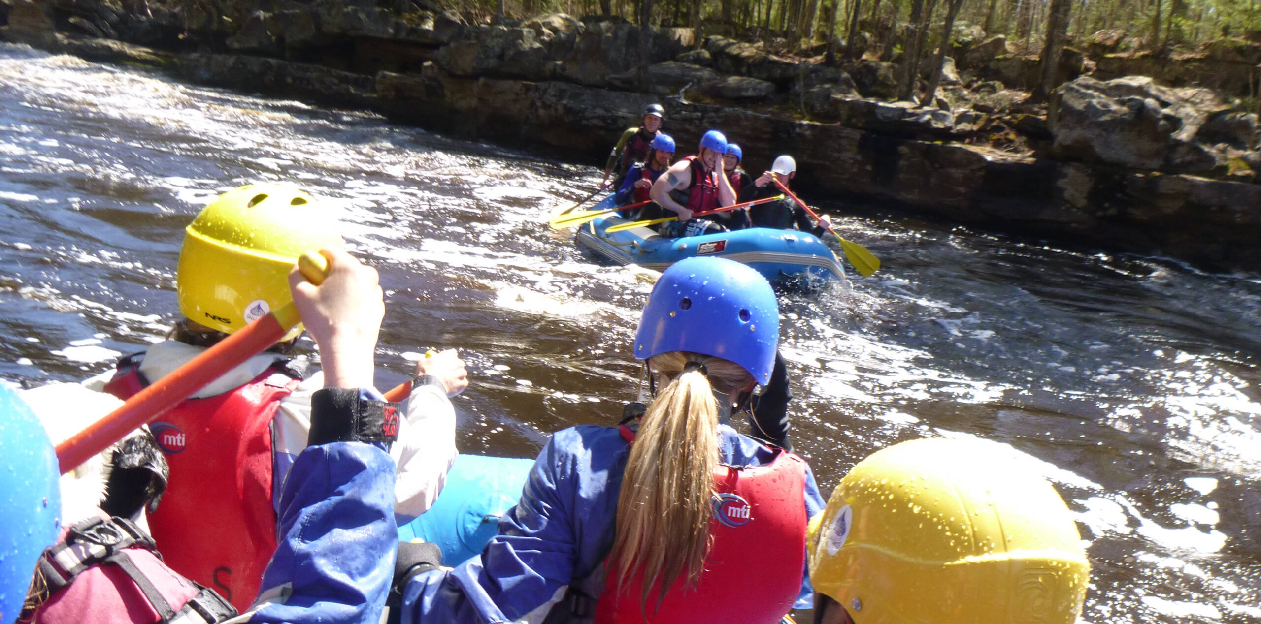
From the put-in, expect flatwater/pond paddling to start this run. McDonald Creek will enter from the left (perhaps not conspicuously) as the river bends from Easterly to more SouthEast, and then Southerly. Almost immediately thereafter (with only a few minor warm-up riffles and waves) you'll encounter what appears to be a dog-legged steep sliding drop of at least 20' in a very short distance. (Likely to be at least class IV, perhaps more.) (Editorial comment: On the topo map view, this is marked "Rapids". These same topo maps often mark "Falls" in places which have much less drop! Almost laughable.)
Location
Other Rapids on This Run (5)

Current Conditions
5-Day Forecast
American Whitewater