Take-out
MN
Take Out
Save this feature with the run it belongs to.
Gauge Conditions
Runnable: ? – ? CFS
Approximate - nearest available gauge. Use as general reference only.
Data from American Whitewater & USGS
Photo
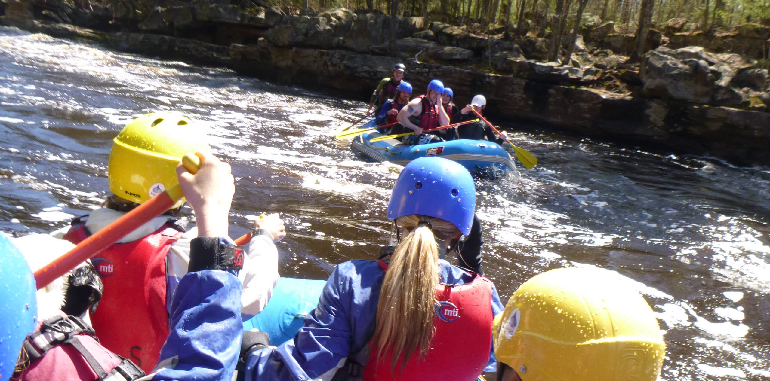
Photo courtesy of American Whitewater
Description
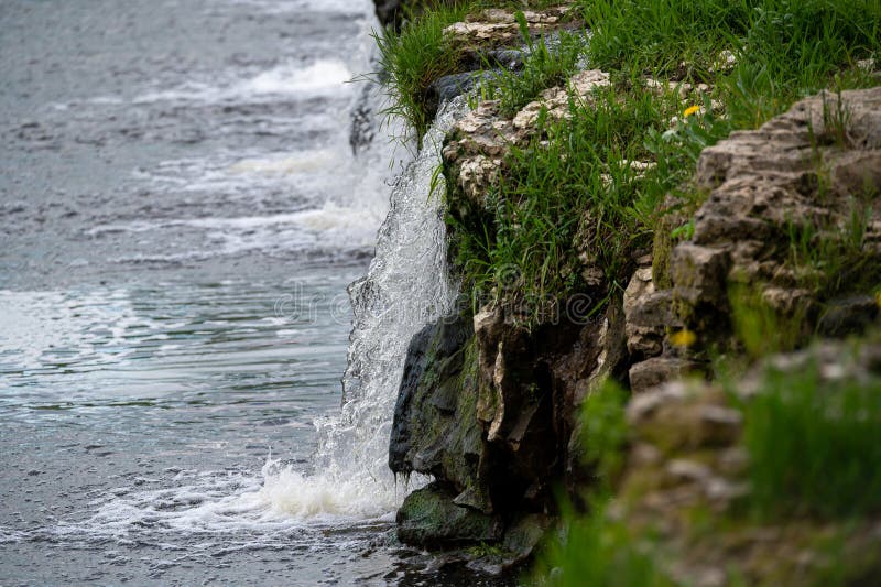
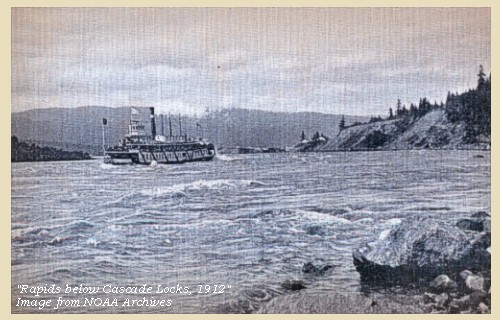
Take Out marks the terminus of the Cascade River's upper whitewater run, characterized by a transition from technical boulder gardens to more open water. While not a highly challenging rapid itself, paddlers should be aware of potential debris and shifting water levels that can create unexpected obstacles near the takeout point. Careful boat positioning and awareness of surrounding terrain are crucial when exiting this section of river.
Location
Interactive river map
Loads as you approach this section.

View Full Run
A) The Grade/153 to Cascade River Road/157 (6.8 miles)
Cascade
II-IV
6.4 mi
Current Conditions
5-Day Forecast
Whitewater data from
American Whitewater
American Whitewater