Rapid
MI
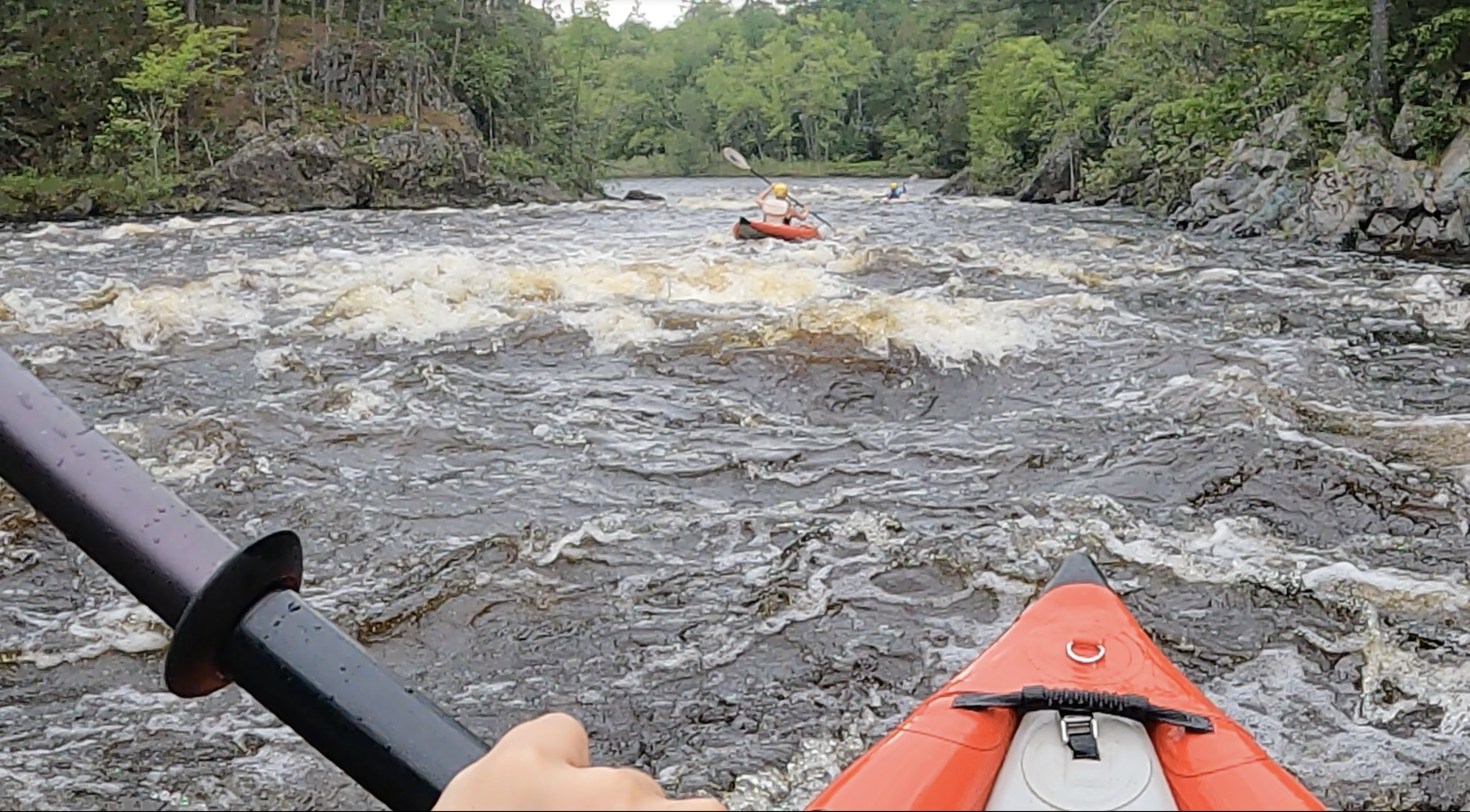
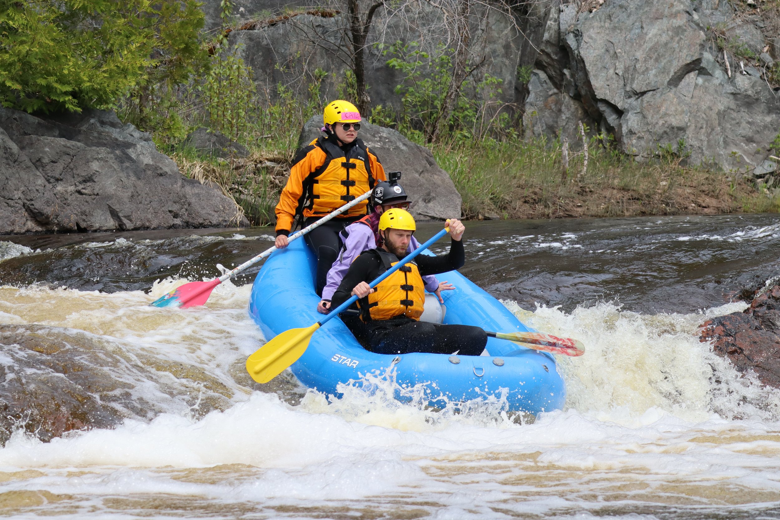
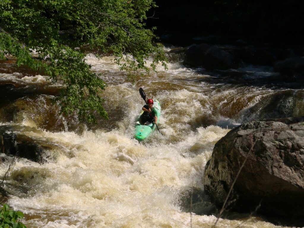
First drop sequence
Save this feature with the run it belongs to.
Gauge Conditions
Runnable: 6.6 – 8.0 FT
Likely too low for areas of gradient to be boatable.
Data from American Whitewater & USGS
Description
As is so often the case online, the label/marking for Hogger Falls is (as others are) horribly misplaced (on all maps I find) barely even close to the river, much less to the proper location, and (in fact) jumping a bit from one resolution (level of zoom) to another. That said, I believe this is the location of the start of the Hogger Falls sequence.
Location
Interactive river map
Loads as you approach this section.
Other Rapids on This Run (18)
 Rapid
N/A
Rapid
N/A
Drainage area ~21 square miles.
Rapid
N/A
Access?
 Rapid
N/A
Rapid
N/A
Put In
Rapid
N/A
Snagfest may begin here
Rapid
N/A
West Branch Falls?
 Rapid
N/A
Rapid
N/A
Ledge/drop
 Rapid
N/A
Rapid
N/A
Short Ledge
 Rapid
N/A
Rapid
N/A
Short Ledge
Rapid
N/A
Unnamed Creek
 Rapid
N/A
Rapid
N/A
Slide/ledge
 Rapid
N/A
Rapid
N/A
Slide
 Rapid
N/A
Rapid
N/A
Perjury Creek
 Rapid
N/A
Rapid
N/A
Small ledge/wave/rapids
Rapid
N/A
Island
Rapid
N/A
Unnamed Creek
Rapid
N/A
Unnamed Creek
 Rapid
N/A
Rapid
N/A
Greenier Creek
 Rapid
N/A
Rapid
N/A
Take Out
View Full Run
Newberry Rd to S.Laird Rd (5.7 miles)
Sturgeon, W.Br. (Houghton)
I-IV
4.5 mi
Current Conditions
5-Day Forecast
Whitewater data from
American Whitewater
American Whitewater