Rapid
MI
Ledge/drop
Save this feature with the run it belongs to.
Gauge Conditions
Runnable: 6.6 – 8.0 FT
Likely too low for areas of gradient to be boatable.
Data from American Whitewater & USGS
Photo
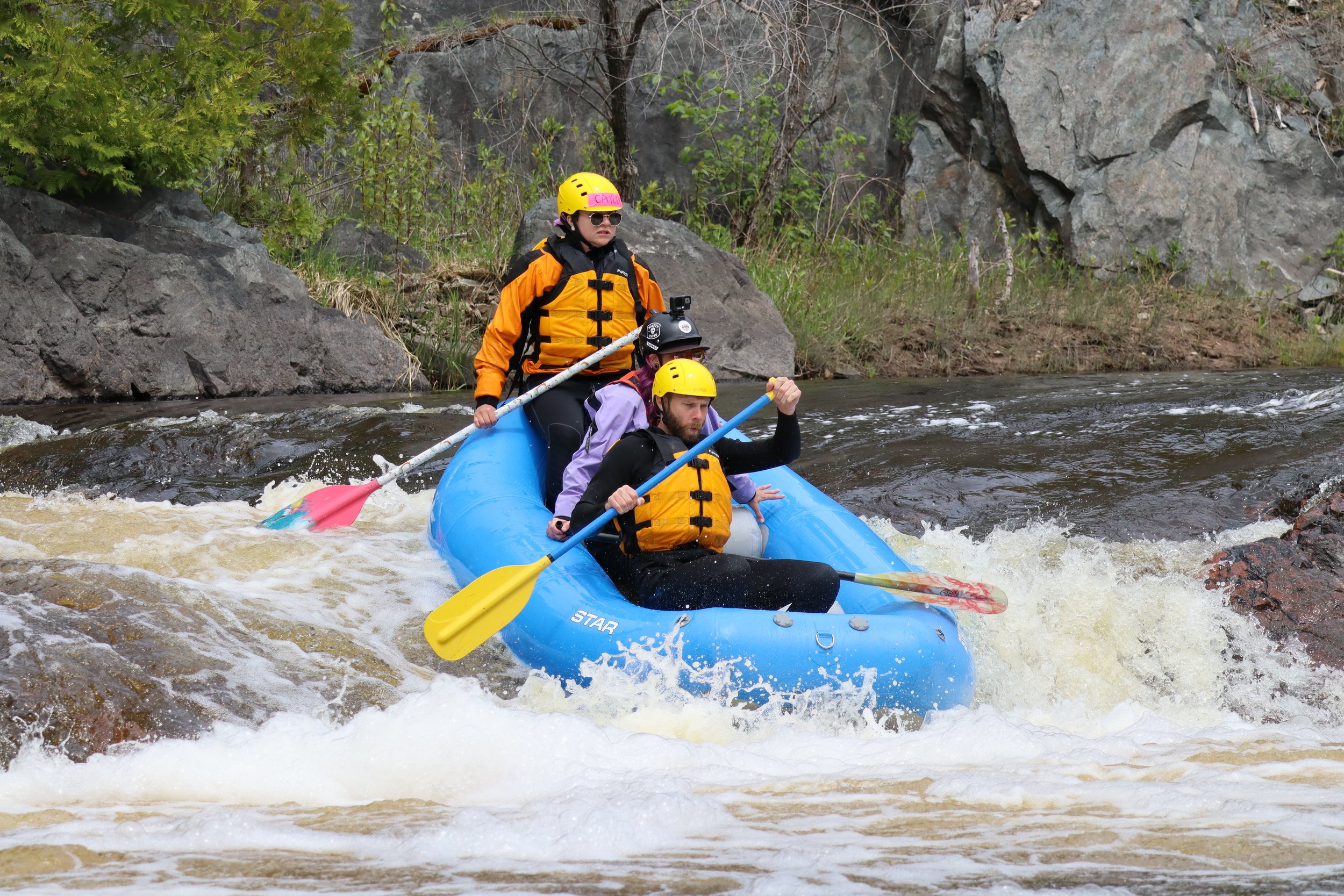
Photo courtesy of American Whitewater
Description
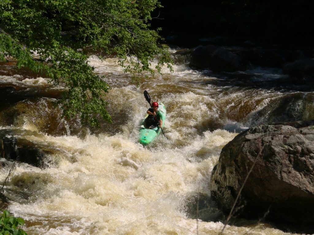
This ledge/drop rapid features a challenging vertical descent with potential for hydraulic recirculation at the bottom. Paddlers should carefully scout the drop to identify the cleanest line and assess the risk of pin points or underwater obstructions. Precise boat positioning and momentum management are critical for safely navigating this technical section of the Sturgeon River.
Location
Interactive river map
Loads as you approach this section.
Other Rapids on This Run (18)
Rapid
N/A
Access?
 Rapid
N/A
Rapid
N/A
Drainage area ~21 square miles.
 Rapid
N/A
Rapid
N/A
Put In
Rapid
N/A
First drop sequence
Rapid
N/A
Snagfest may begin here
Rapid
N/A
West Branch Falls?
 Rapid
N/A
Rapid
N/A
Short Ledge
 Rapid
N/A
Rapid
N/A
Short Ledge
Rapid
N/A
Unnamed Creek
 Rapid
N/A
Rapid
N/A
Slide/ledge
 Rapid
N/A
Rapid
N/A
Slide
 Rapid
N/A
Rapid
N/A
Perjury Creek
 Rapid
N/A
Rapid
N/A
Small ledge/wave/rapids
Rapid
N/A
Island
Rapid
N/A
Unnamed Creek
Rapid
N/A
Unnamed Creek
 Rapid
N/A
Rapid
N/A
Greenier Creek
 Rapid
N/A
Rapid
N/A
Take Out
View Full Run
Newberry Rd to S.Laird Rd (5.7 miles)
Sturgeon, W.Br. (Houghton)
I-IV
4.5 mi
Current Conditions
5-Day Forecast
Whitewater data from
American Whitewater
American Whitewater