Flagpole
Save this feature with the run it belongs to.
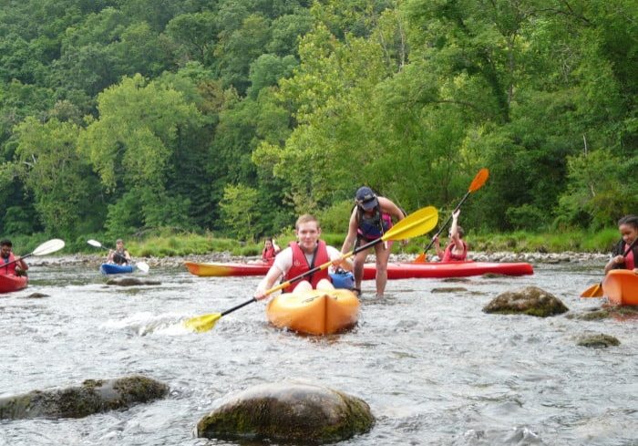
Gauge Conditions
Photo
Description
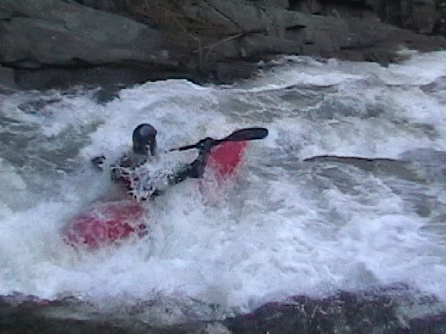
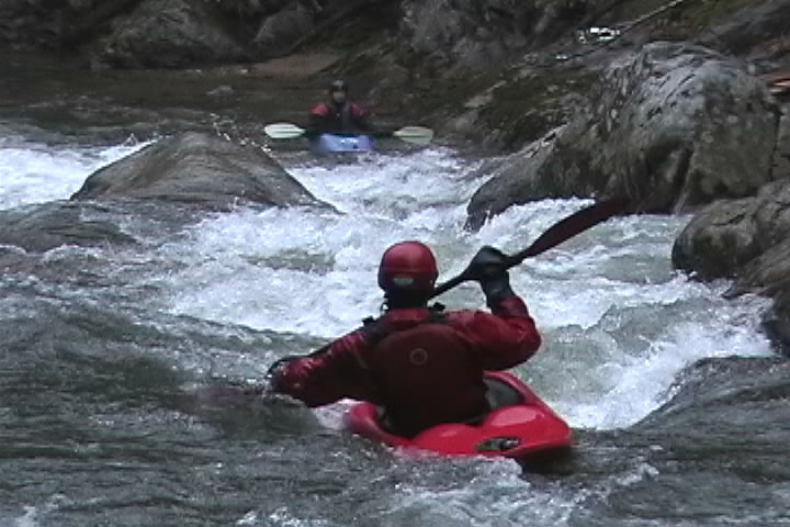
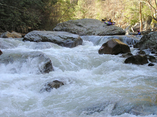
Look for an island splitting the flow to signal your imminent approach to Flagpole (named after 'Flagpole Point', the ridge causing the river to make a big oxbow). Scout/portage from this island. The right side of the island used to be the sneak, but flooding over the years changed this to a 'West Prong' style tight line, so the more common line is left of the island. Either line is shallow, definitely not a place to be upside down.
The initial drop can be run far far left, taking care not to drop off the even farther left ledge creases immediately following the first drop! The correct line should be along the right side of the first ledge, being mindful that the current tends to kick unwary boaters hard right towards a boulder that can lead to an uncomfortable broach situation. The middle line off the first ledge is only for those wanting to take a hard piton followed by a surf to the right.
After that, pinball on down and aim for the obvious boof at the end. More likely you will go to the right of the boof, as the current pushes hard left to right at that point. Take advantage of the large eddy on the right to look back and enjoy the view of what you just ran, as well to soak in a geologic moment, as this is one of the deepest parts of the gorge with an excellent view of the rock strata.
Location


Current Conditions
5-Day Forecast
American Whitewater