Take-out
TN
Take Out
Save this feature with the run it belongs to.
Gauge Conditions
Data from American Whitewater & USGS
Photo
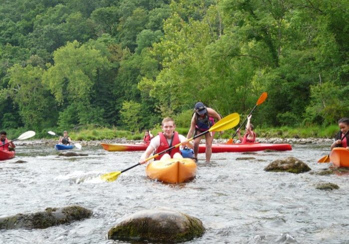
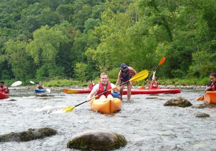
Photo courtesy of American Whitewater
Description
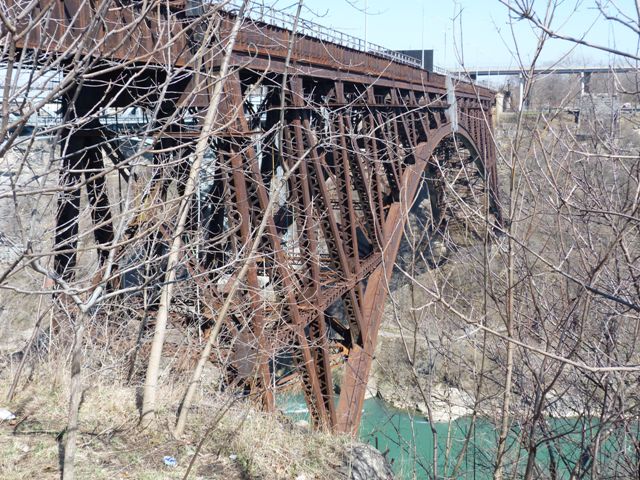
Take Out is the final rapid on this section, marking the end of the run where paddlers must carefully navigate out of the river at the Highway 19E bridge. While specifics are limited, boaters should be prepared for potential takeout challenges and ensure a safe exit from the water.
Location
Interactive river map
Loads as you approach this section.
View Full Run
2. Gorge: Bear Cage Road (Blevins Bridge) to Highway 19E bridge at Hampton High School
Doe
III-IV
6.0 mi
Current Conditions
5-Day Forecast
Whitewater data from
American Whitewater
American Whitewater