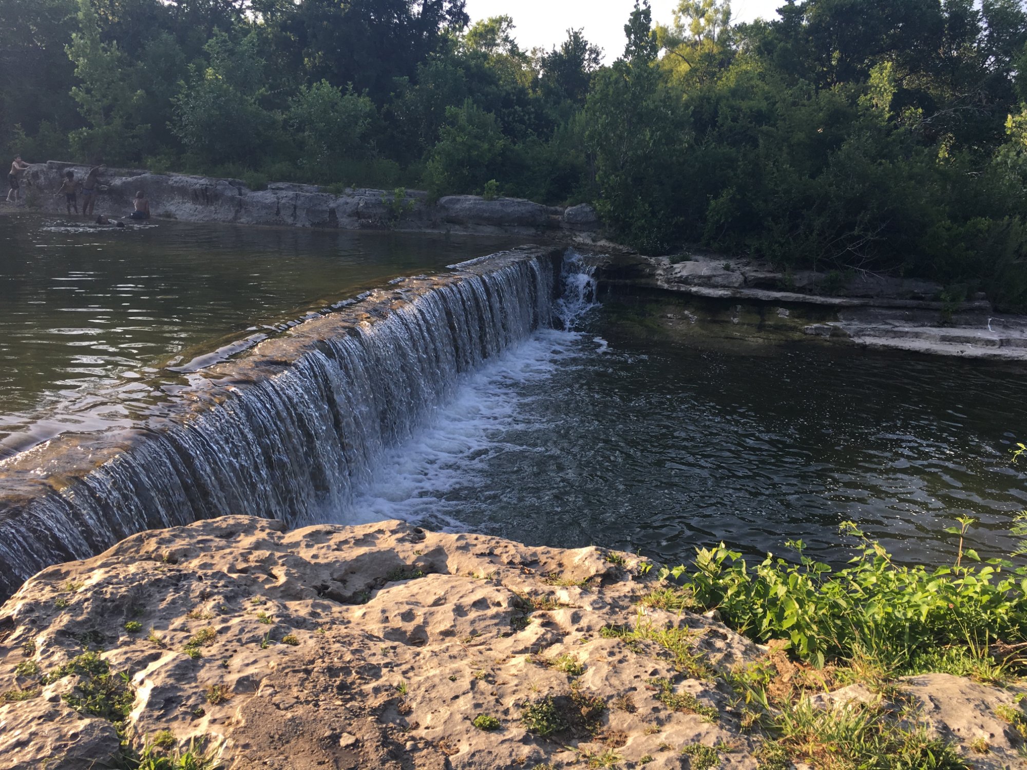
Take-out
TX
FM 685
Save this feature with the run it belongs to.
Gauge Conditions
Runnable: 300.0 – 2,000.0 CFS
Actual range of best boatability uncertain. Please help your fellow boaters by submitting a comment or report.
Data from American Whitewater & USGS
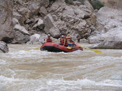
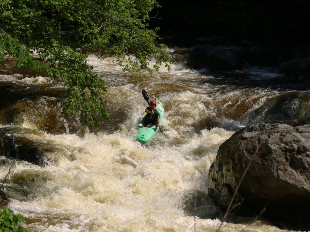
Photo

Photo courtesy of American Whitewater
Description
Just upstream of FM 685, there is an old low-water crossing that can be bypassed on river left. Take out on river right under the FM 685 bridge.
Parking is available under the bridge, accessible via a dirt road that follows the state highway easement on the southwest (upstream, river right) side of the bridge from a curb cut along FM 685 about 1/4 mile southwest of the bridge.
Location
Other Rapids on This Run (4)

View Full Run
2. CR 122 (Red Bud Ln) to FM 685 (3.3 miles)
Brushy Creek
II-III
3.3 mi
Current Conditions
5-Day Forecast
Whitewater data from
American Whitewater
American Whitewater