Take-out
WA
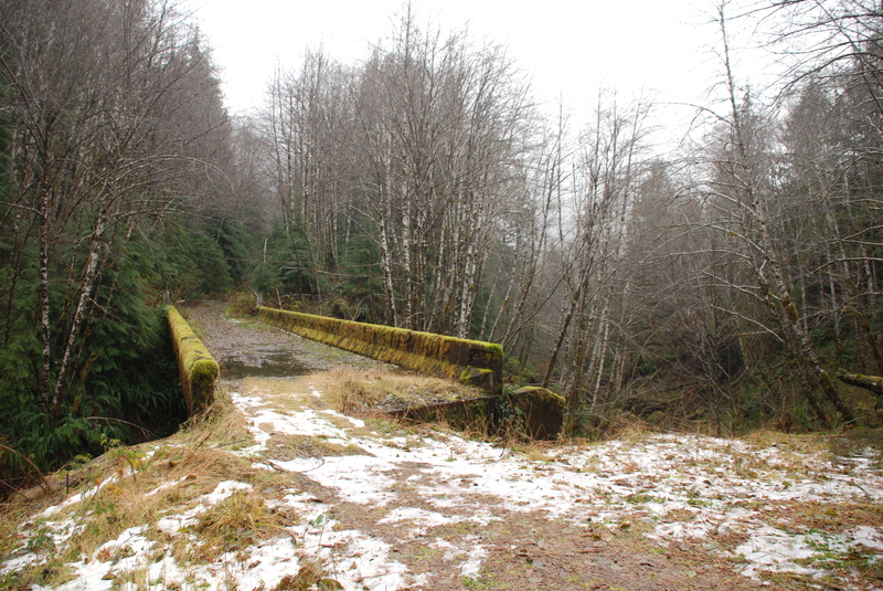
Forest Road 21 Bridge Take-Out
Save this feature with the run it belongs to.
Gauge Conditions
Data from American Whitewater & USGS
Description
The take-out is on river right. The best access is about 100 yards upstream of the bridge where you can climb up the bank and then access a short social trail that heads up to the parking area on the upstream river right side of the bridge. If you can't find this trail you can also scramble up under the river right side of the bridge.
Location
View Full Run
North Fork to FR 21 Bridge (Upper & Middle)
Matheny Creek
IV+
9.2 mi
Current Conditions
5-Day Forecast
Whitewater data from
American Whitewater
American Whitewater