Garfield (A.K.A. Boyscout) Rapids
Save this feature with the run it belongs to.
Gauge Conditions
Runnable: 200.0 – 1,250.0 CFS
~8"-15"; intermediate level.
Data from American Whitewater & USGS
Description
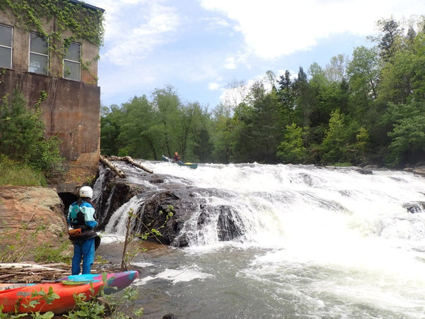
A footbridge signals Garfield or Boy Scout Rapid (named for the Scout camp on river left). Class II rapids lead to a second footbridge, which is the heart of this half-mile, somewhat 'technical', boulder-garden rapid. In high water, Boy Scout rapid becomes pushy. Fatal accidents have occurred here, and the rocks under the second footbridge have caused foot entrapments. If out of your boat, float with your feet as near the surface as possible! Do not try to stand in moving water! With enough water, the rocks are all covered, and the rapids is far less technical.
Location
Interactive river map
Loads as you approach this section.
Other Rapids on This Run (9)
View Full Run
D) Sec.3: Langlade (Hwy 64) to Crab N Jack's Landing (3.9 or 10.3 miles)
Wolf
II(III)
10.1 mi
Current Conditions
5-Day Forecast
Whitewater data from
American Whitewater
American Whitewater