Rapid
MN
Good gradient
Save this feature with the run it belongs to.
Gauge Conditions
Runnable: ? – ? CFS
Approximate - nearest available gauge. Use as general reference only.
Data from American Whitewater & USGS
Description
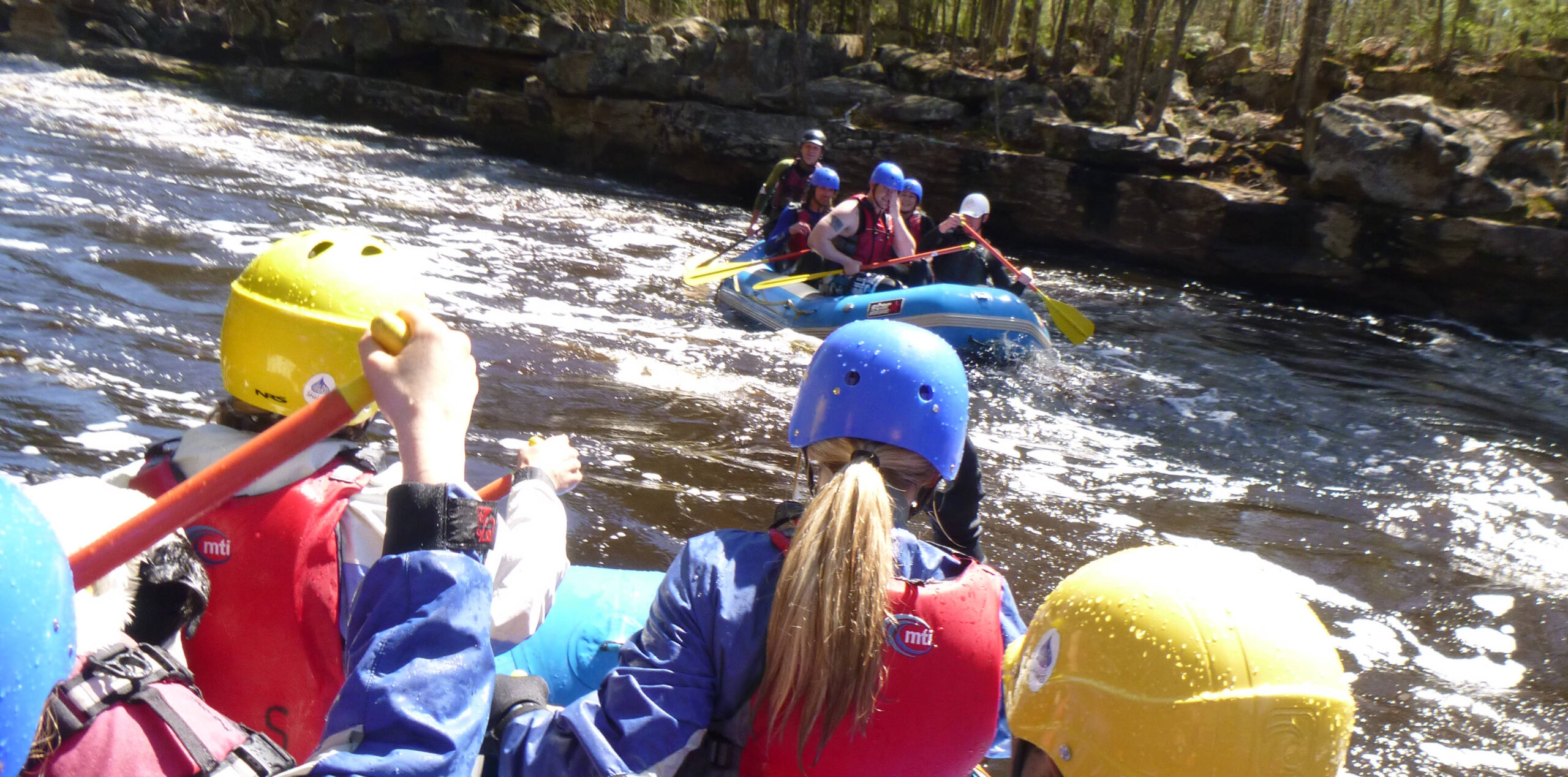
This initial stretch of the listed run has no 'rapids' marked, but the topo map does show really good gradient (at least 40' of drop to the lake). The satellite view shows only what appears to be (perhaps) random boulderbed stretch of rapids.
Location

View Full Run
Co.Rd.565/Allen Junction Rd to Co.Hwy.110 (7 miles)
Partridge
I-II
7.1 mi
Current Conditions
5-Day Forecast
Whitewater data from
American Whitewater
American Whitewater