Playspot
MN
marked rapids #2
Save this feature with the run it belongs to.
Gauge Conditions
Runnable: ? – ? CFS
Approximate - nearest available gauge. Use as general reference only.
Data from American Whitewater & USGS
Photo
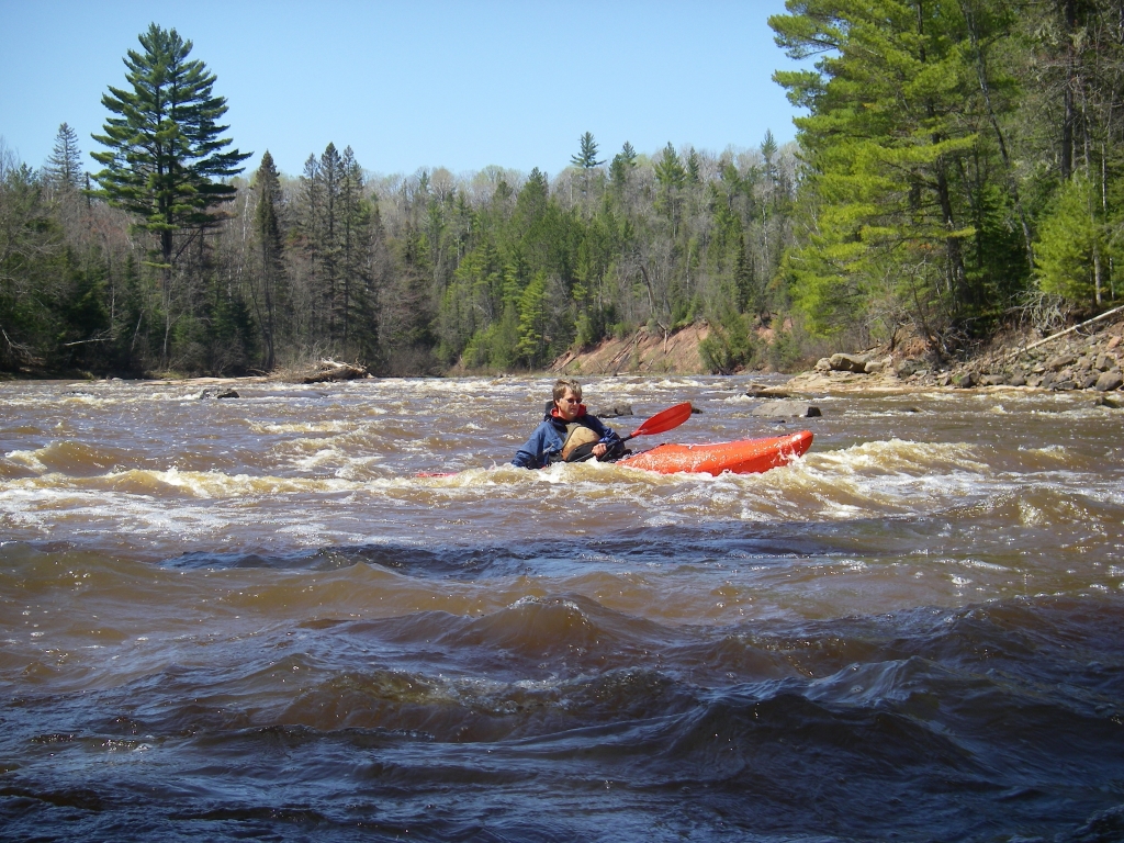
Photo courtesy of American Whitewater
Description
A marked 'rapids' appears here on the topo map. Satellite view (on Google maps) shows a narrowing in the river, and some apparent rock/ledge/wave.
Location
View Full Run
Co.Rd.565/Allen Junction Rd to Co.Hwy.110 (7 miles)
Partridge
I-II
7.1 mi
Current Conditions
5-Day Forecast
Whitewater data from
American Whitewater
American Whitewater