Rapid
WA
Government Bridge Access
Save this feature with the run it belongs to.
Gauge Conditions
Runnable: 4,000.0 – 30,000.0 CFS
Too low for larger rafts, but ok for kayaks and small rafts that can maneuver through exposed rocks.
Data from American Whitewater & USGS
Description
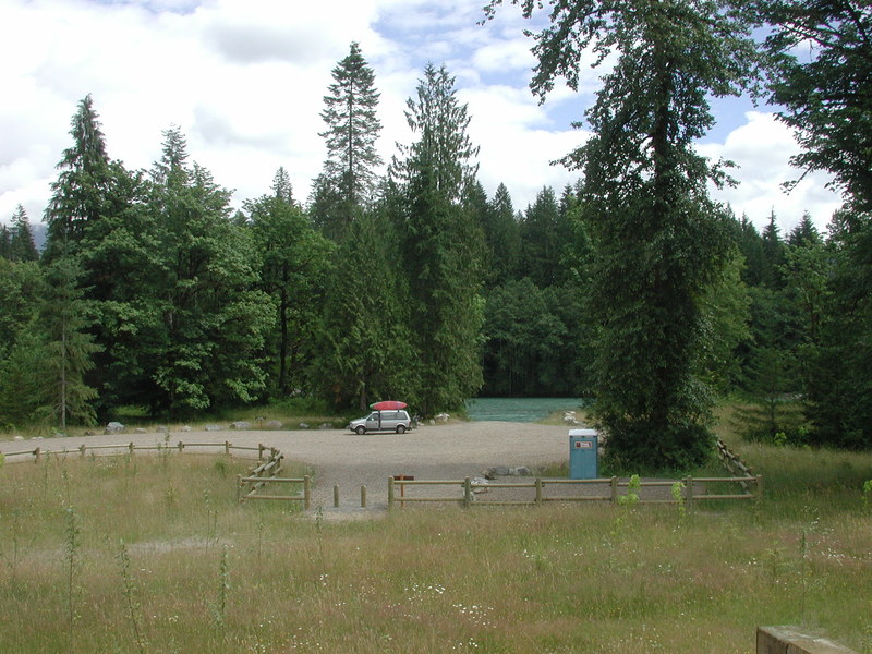
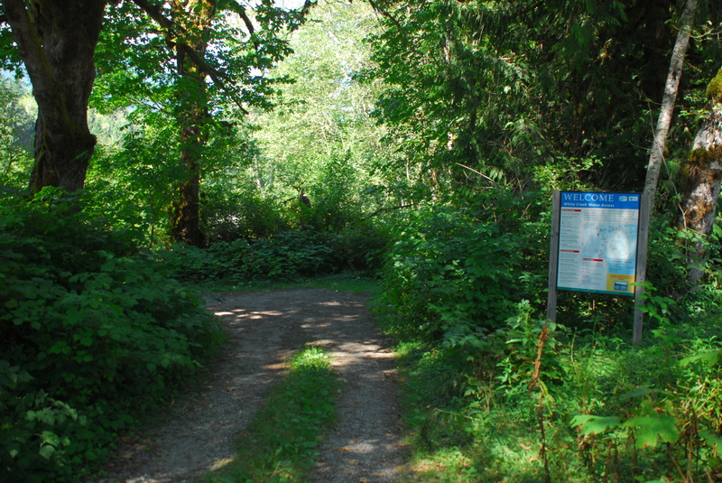
Informal access site on river left just upstream from the bridge. A Highway 530 mile 61.3 turn on to Concrete - Sauk Valley Road. Cross the bridge and take the immediate left headed upstream on river left. It is 0.3 mile upstream to a good access point on Forest Service land. Parking is limited and there are no facilities. It is a short carry to the water.
Location
Interactive river map
Loads as you approach this section.
View Full Run
3 - Darrington to Skagit River
Sauk
II
20.0 mi
Current Conditions
5-Day Forecast
Whitewater data from
American Whitewater
American Whitewater