Rapid
WA
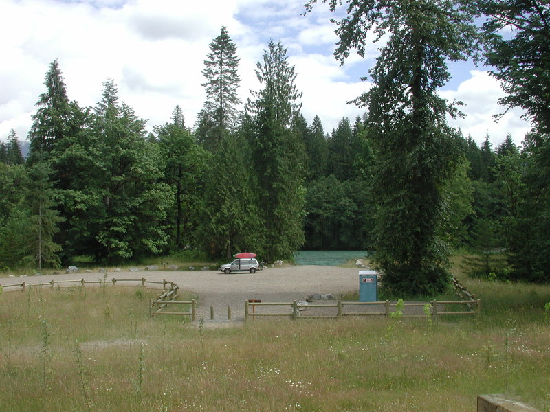
White Creek Water Access
Save this feature with the run it belongs to.
Gauge Conditions
Runnable: 4,000.0 – 30,000.0 CFS
Too low for larger rafts, but ok for kayaks and small rafts that can maneuver through exposed rocks.
Data from American Whitewater & USGS
Photo
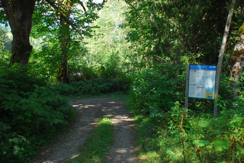
Photo courtesy of American Whitewater
Description
An alternate take-out access at the White Creek confluence at Highway 530 mile 60.7 just upstream of Government Bridge on the Concrete-Sauk Valley Road Bridge.
Location
Interactive river map
Loads as you approach this section.
View Full Run
3 - Darrington to Skagit River
Sauk
II
20.0 mi
Current Conditions
5-Day Forecast
Whitewater data from
American Whitewater
American Whitewater