Put-in
NC
Green Creek
Save this feature with the run it belongs to.
Gauge Conditions
Runnable: 350.0 – 1,200.0 CFS
Due to an arbitrary decision by the Forest Service, the river is not boatable unless the river has previously exceeded 350 cfs the same day.
Data from American Whitewater & USGS
Photo
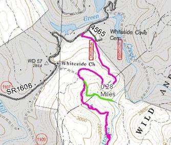
Photo courtesy of American Whitewater
Description
You reach the put in after a 1 mile up and down hill hike to the confluence of Green Creek and the Chattooga. Start on Chattooga trail and hike 3/4 mile. When you see a piece of large cable on the right side of the trail go 100 yards further and look for Green Creek trail to left going downhill beside a small water seep/stream. (Green trail on map) If you get the wooden handrail you went too far.
Location
Interactive river map
Loads as you approach this section.
Other Rapids on This Run (14)
 Rapid
N/A
Rapid
N/A
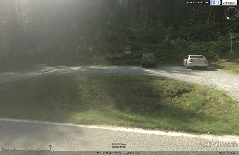
Parking Area
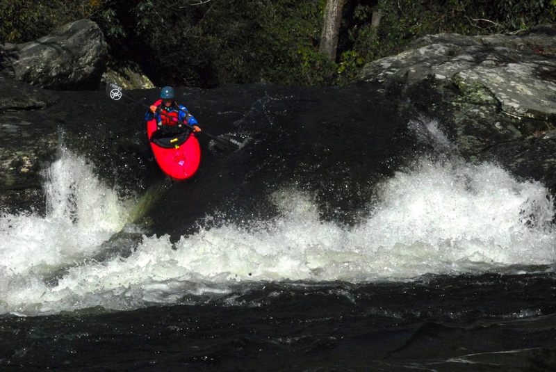 Rapid
IV
Rapid
IV
First Falls
 Rapid
N/A
Rapid
N/A
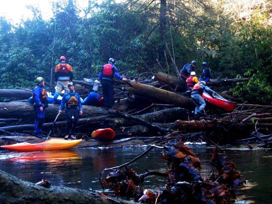
Log Jamb (Impaction)
 Rapid
IV+
Rapid
IV+
Separation Falls
 Rapid
IV+
Rapid
IV+
Potholes Left, Logs Right
 Rapid
IV+
Rapid
IV+
Beauty and Beast
 Rapid
IV+
Rapid
IV+
Beast
 Rapid
N/A
Rapid
N/A
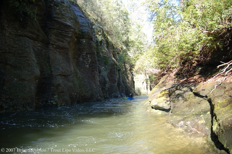
Alleyway
 Rapid
V+
Rapid
V+
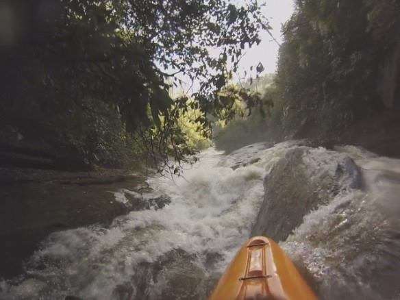
Whoa Nellie! (aka Sieve Rapid)
 Rapid
IV+
Rapid
IV+
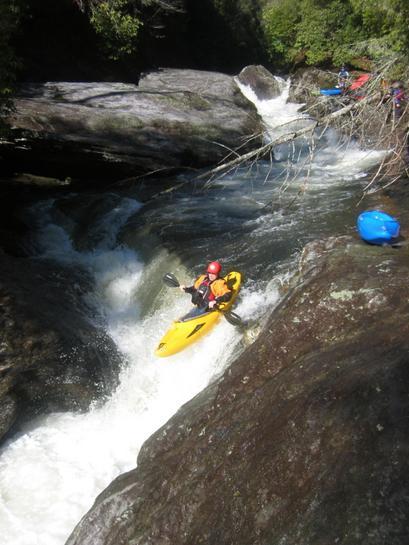
Crease Boof
 Rapid
III+
Rapid
III+
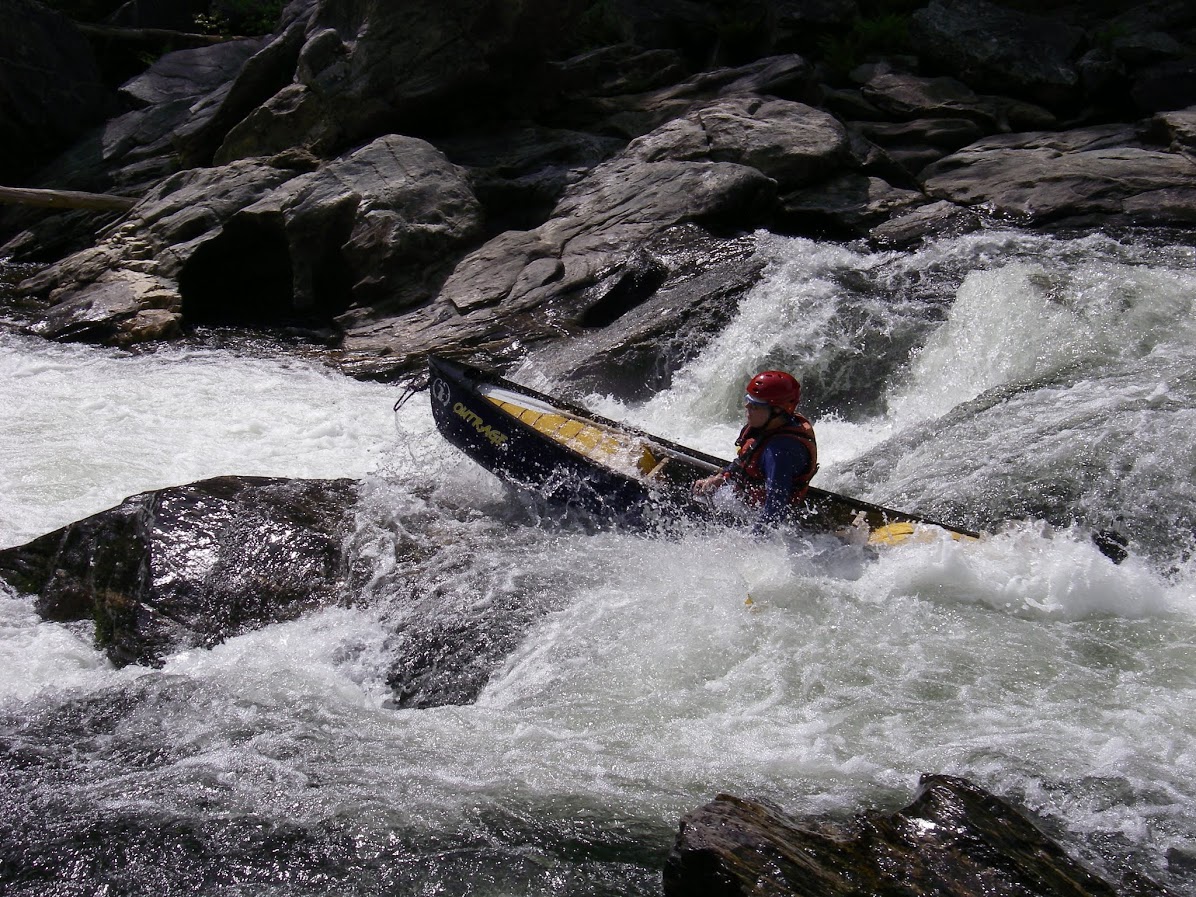
Sunbathers Drop
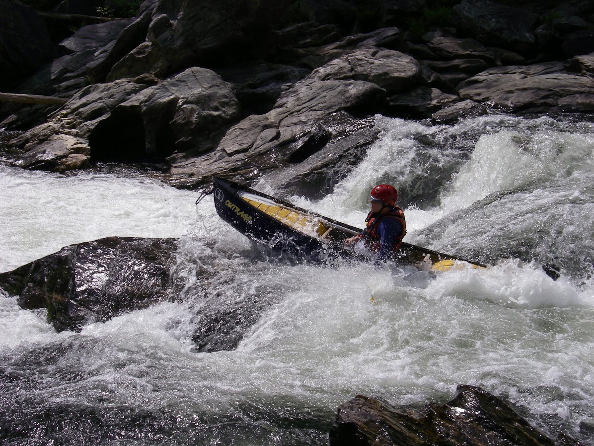 Rapid
IV
Rapid
IV
Wakeup Ledge
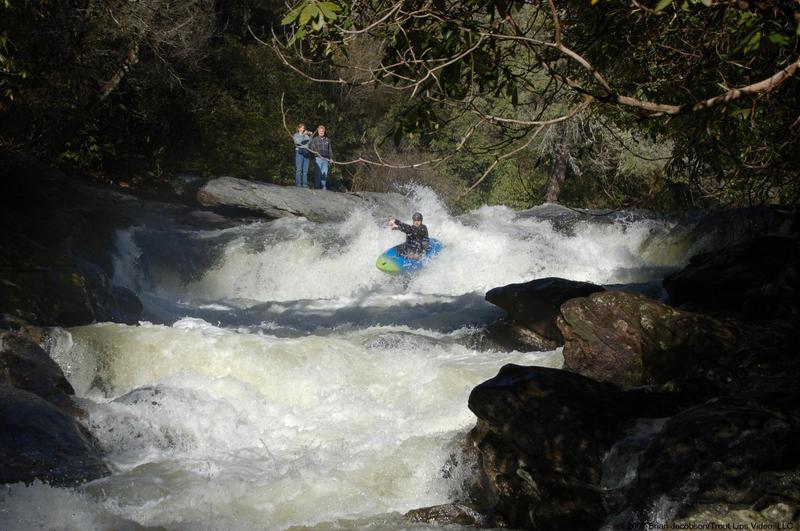 Rapid
V
Rapid
V
Bull Pen Rapid
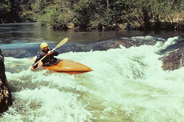 Rapid
N/A
Rapid
N/A
Take Out
View Full Run
Chattooga Cliffs - Grimshawes Bridge to Bull Pen Bridge
Chattooga
IV-V
3.5 mi
Current Conditions
5-Day Forecast
Whitewater data from
American Whitewater
American Whitewater