Green Riffle River Access (Take-Out Only)
Save this feature with the run it belongs to.
Gauge Conditions
Range for best boatability uncertain. Please help your fellow paddlers by providing a comment or report.
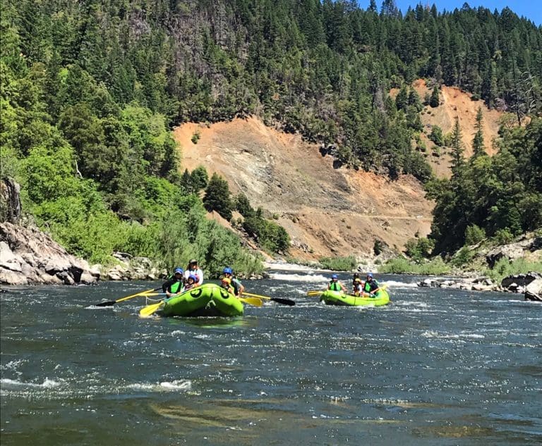
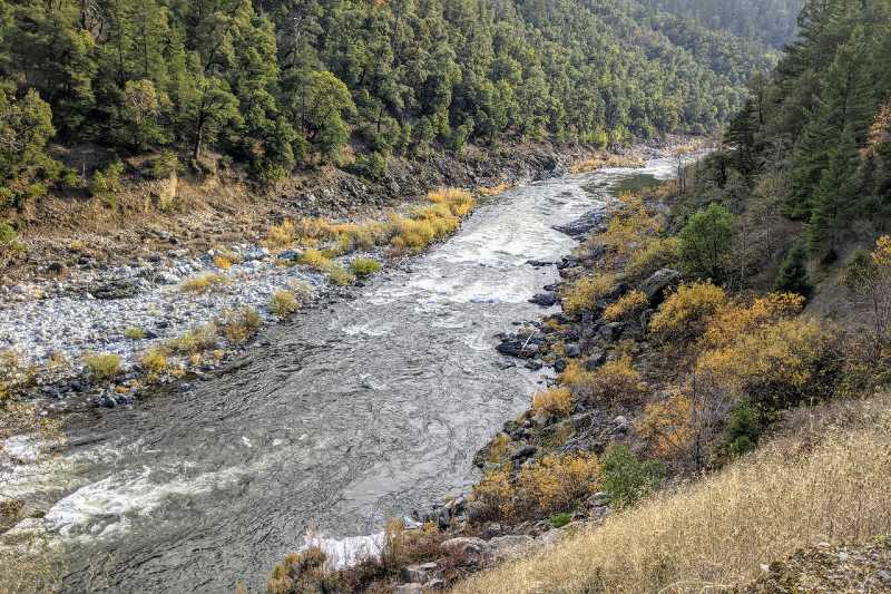
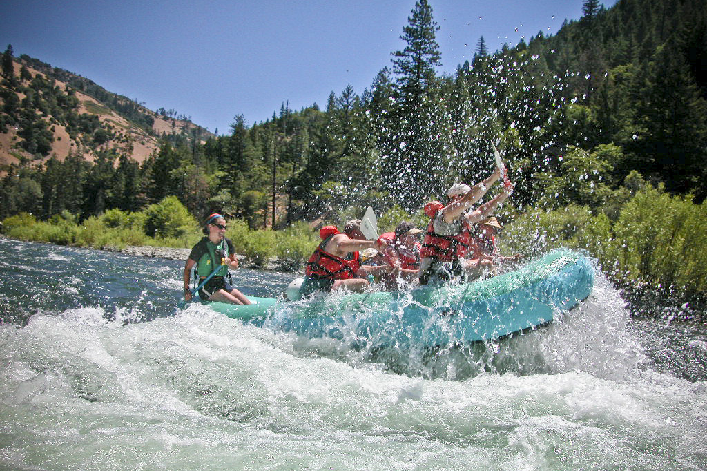
Photo
Description
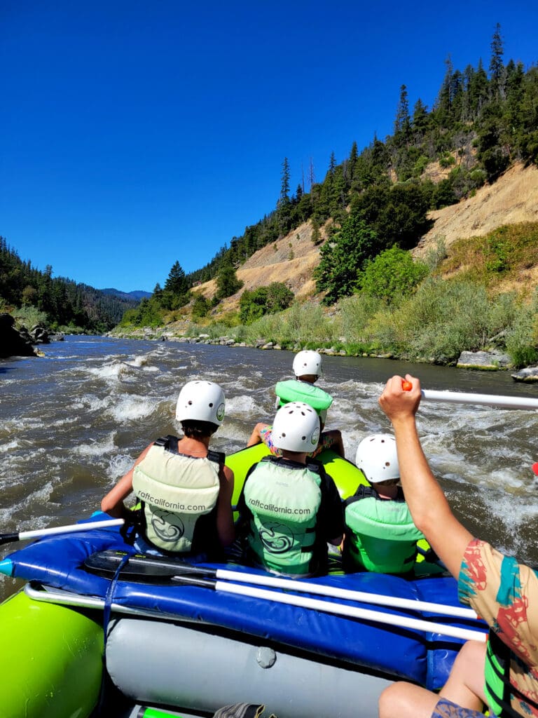
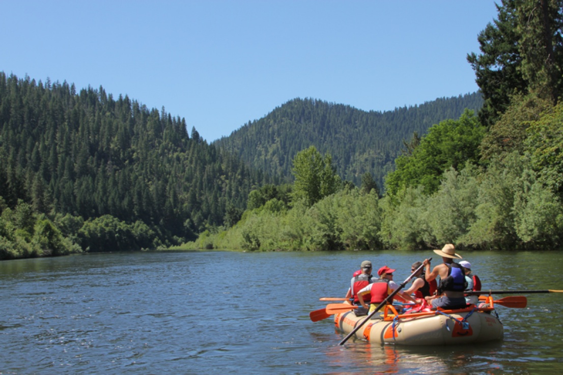
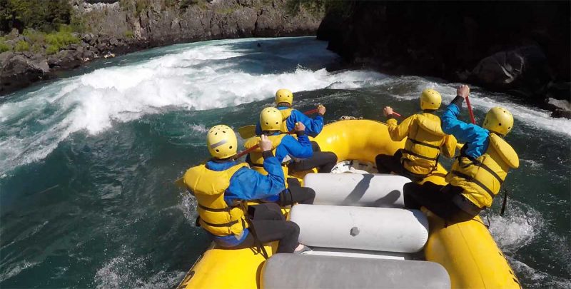
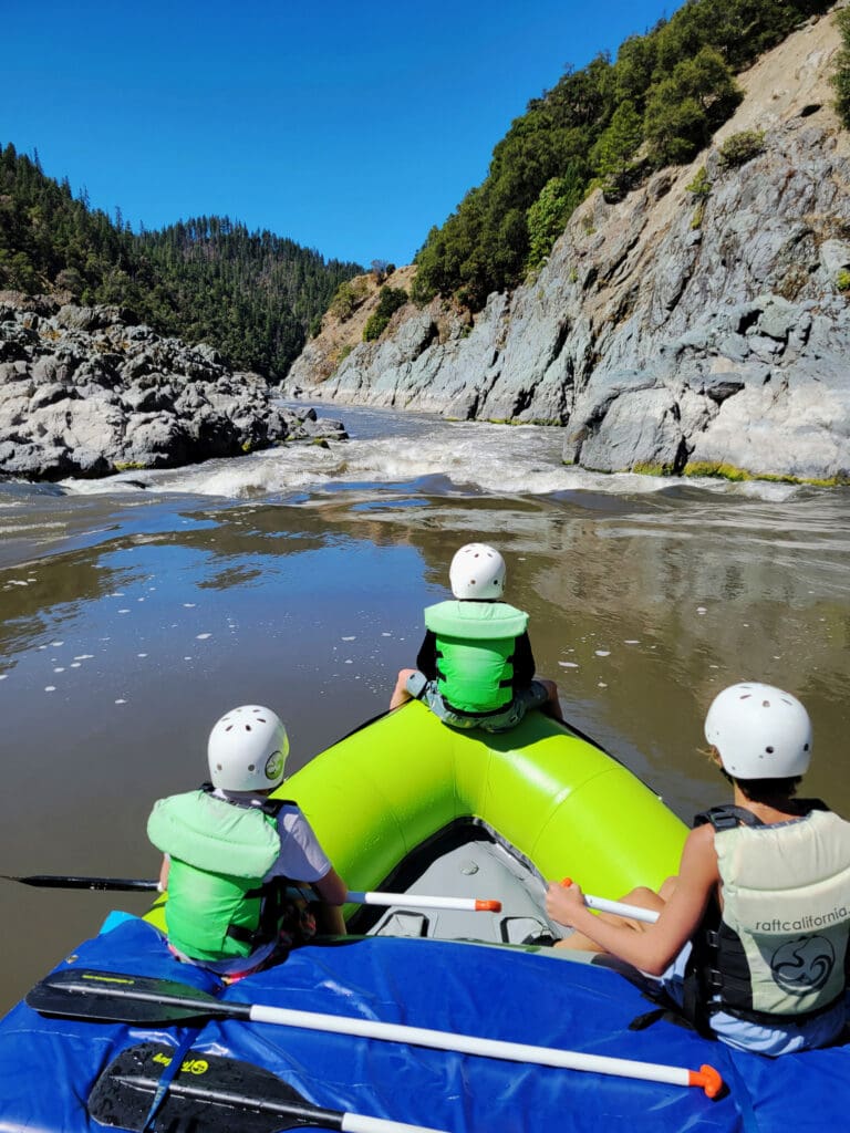
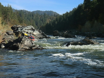
The Green Riffle River Access is on river left a short distance downstream from the R. Lyle Davis bridge located at Highway 96 mile 4.6. A half-mile gravel road descends to a large gravel bar at river level. The road starts in good condition but becomes steeper and more rutted toward the bottom. Confident drivers in passenger vehicles can generally make it. Boats can be carried a short distance to the river’s edge. This is the last road accessible take-out before Ishi Pishi Falls, which is off-limits to all boating activity and visitation out of respect for tribal considerations. Boaters wishing to continue downstream must take out here and vehicle shuttle to the Ishi Pishi Bridge river access downriver of the falls in Somes Bar (on Ishi Pishi Road). More information at https://www.fs.usda.gov/r05/klamath/recreation/green-riffle-river-accessmandatory-take-out.
Please check for tribal ceremonial closures of the Ishi Pishi Bridge river access and the downstream Ike's Run in July and August of each year. These are usually (although not always) posted on the Klamath National Forest website at https://www.fs.usda.gov/r05/klamath/alerts.
Location
Other Rapids on This Run (16)
 Rapid
N/A
Rapid
N/A
 Rapid
II
Rapid
II
 Rapid
N/A
Rapid
N/A
 Rapid
N/A
Rapid
N/A
 Rapid
II
Rapid
II
 Rapid
II
Rapid
II
 Rapid
II
Rapid
II
 Rapid
N/A
Rapid
N/A
 Rapid
N/A
Rapid
N/A
 Rapid
N/A
Rapid
N/A
 Rapid
II
Rapid
II
 Rapid
II
Rapid
II
 Rapid
II+
Rapid
II+
 Rapid
N/A
Rapid
N/A
 Rapid
N/A
Rapid
N/A
 Portage
V
Portage
V
Current Conditions
5-Day Forecast
American Whitewater