Rapid
CA
Reynolds Creek Access
Save this feature with the run it belongs to.
Gauge Conditions
Runnable: 700.0 – 8,000.0 CFS
Range for best boatability uncertain. Please help your fellow paddlers by providing a comment or report.
Data from American Whitewater & USGS
Photo
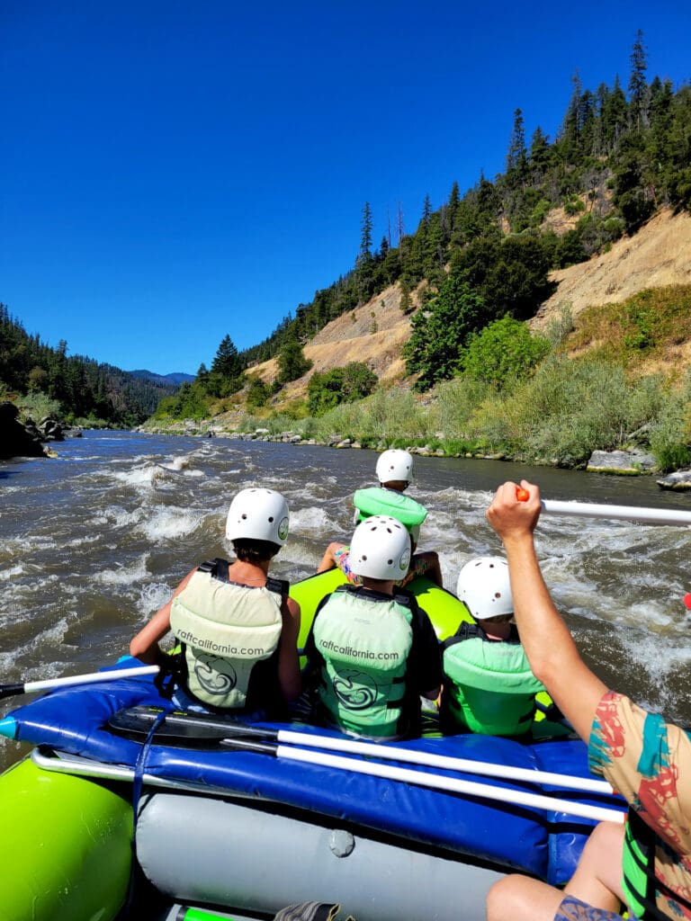
Photo courtesy of American Whitewater
Description
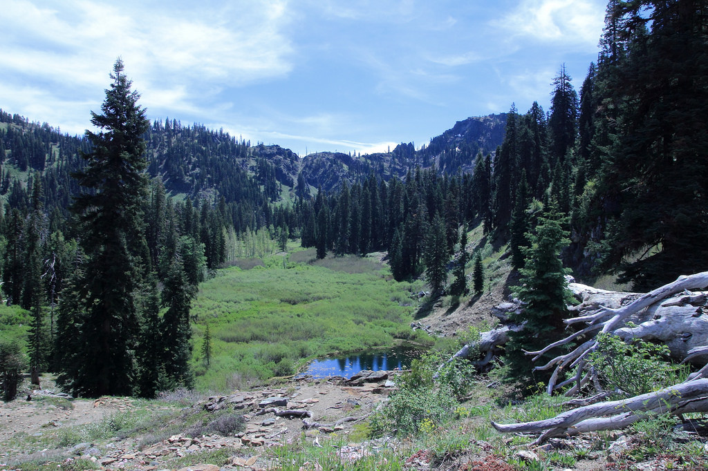
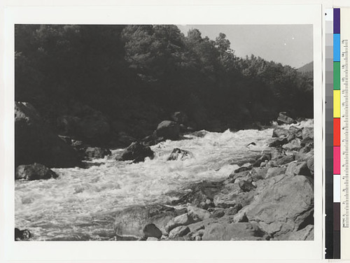
This access is located at Highway 96 mile 3.5. A roadside pullout leads to a trail descending to the river on river right. It is used by shore-based anglers but is not a practical site for boat access although it is referenced in some older guidebooks. This is a Forest Service-managed site.
Location
Other Rapids on This Run (16)
 Rapid
N/A
Rapid
N/A
Coon Creek River Access
 Rapid
II
Rapid
II
Blue Swillup Rapid
 Rapid
N/A
Rapid
N/A
Dillon Creek River Access
 Rapid
N/A
Rapid
N/A
Persido Bar River Access
 Rapid
II
Rapid
II
Persido Rapid
 Rapid
II
Rapid
II
Frog Rock Rapid
 Rapid
II
Rapid
II
Ti Bar Rapid
 Rapid
N/A
Rapid
N/A
Ti Bar River Access
 Rapid
N/A
Rapid
N/A
Rock Creek River Access
 Rapid
N/A
Rapid
N/A
Rock Creek
 Rapid
II
Rapid
II
Wall Shot
 Rapid
II
Rapid
II
Kissing Rock Rapid
 Rapid
II+
Rapid
II+
Sandy Bar Rapid
 Rapid
N/A
Rapid
N/A
Stuarts Bar River Access
 Rapid
II
Rapid
II
Green Riffle River Access (Take-Out Only)
 Portage
V
Portage
V
Ishi Pishi Falls
View Full Run
12. Coon Creek to Green Riffle
Klamath
II
20.0 mi
Current Conditions
5-Day Forecast
Whitewater data from
American Whitewater
American Whitewater