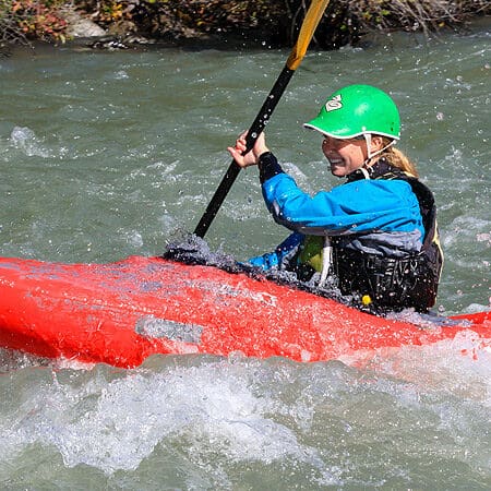
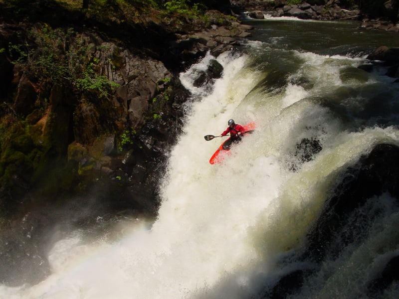
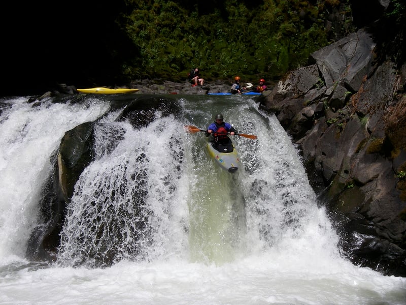
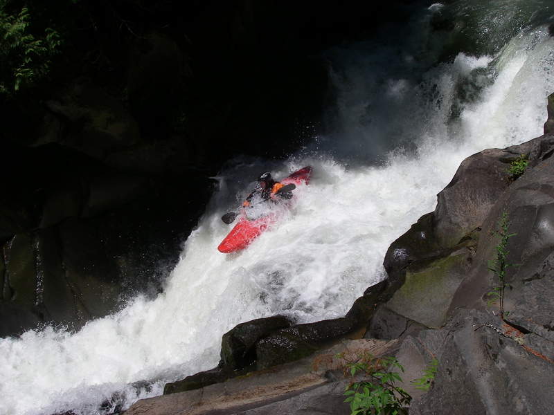
Green Truss Put-In
Save this feature with the run it belongs to.
Gauge Conditions
Approximate - nearest available gauge. Use as general reference only.
Description
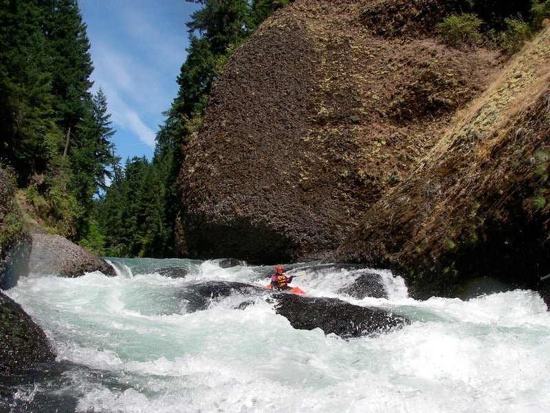
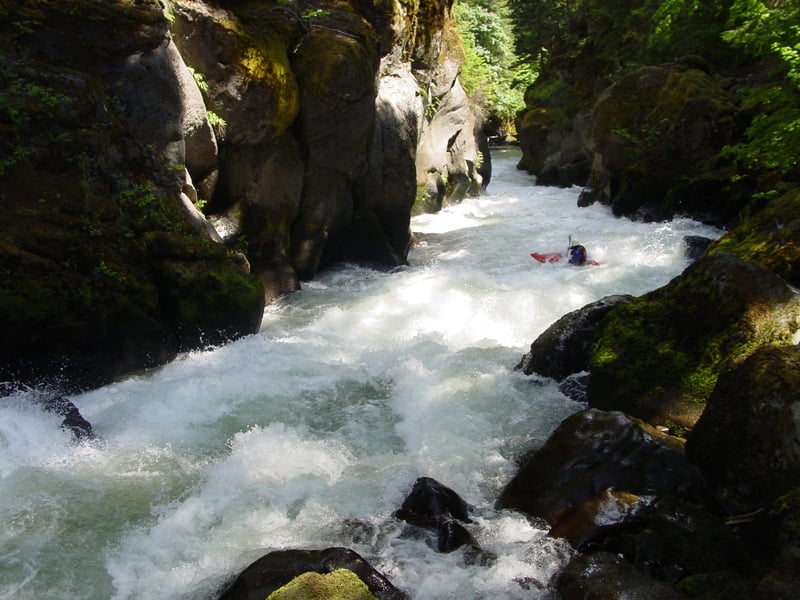
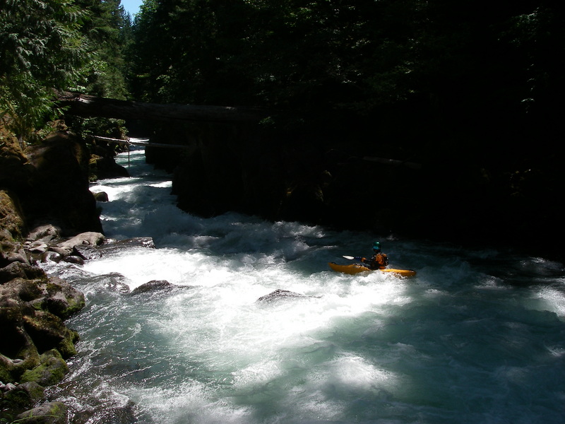
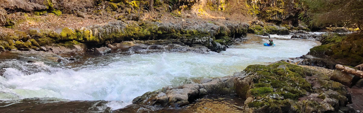
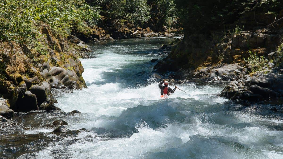
The recommended put-in is on private land owned by Lupine Forest LLC, where an informal kayaker trail begins at Hwy 141 mile 17.3 across from Carr Road, just upstream of the Green Truss Bridge. It’s about 200 yards down to the river; the bank is steep but less treacherous than the cliff band at the historic Green Truss Bridge access immediately downstream. Parking is at a DNR site on the B-700 Road, which heads west from the Carr Road/Hwy 141 junction. Please respect this site: it is private property and access is a privilege. Responsible use is essential. The traditional access was at Hwy 141 mile 17.1, where the private Winegartner Road drops to the Green Truss Bridge. That route descends a cliff band on the downstream river-right side of the bridge, a hazardous put-in where injuries have occurred. If you use it, treat the site as load/unload only and do not park or block the road to the bridge.
Location
Other Rapids on This Run (17)
 Rapid
N/A
Rapid
N/A
 Rapid
V
Rapid
V
 Rapid
V
Rapid
V
 Rapid
N/A
Rapid
N/A
 Waterfall
V
Waterfall
V
 Rapid
IV
Rapid
IV
 Rapid
V
Rapid
V
 Rapid
N/A
Rapid
N/A
 Rapid
IV
Rapid
IV
 Rapid
V
Rapid
V
 Rapid
V
Rapid
V
 Rapid
N/A
Rapid
N/A
 Rapid
N/A
Rapid
N/A
 Waterfall
V
Waterfall
V
Current Conditions
5-Day Forecast
American Whitewater