Waterfall
MI
Head of Gradient
Save this feature with the run it belongs to.
Gauge Conditions
Runnable: ? – ? CFS
Approximate - nearest available gauge. Use as general reference only.
Data from American Whitewater & USGS
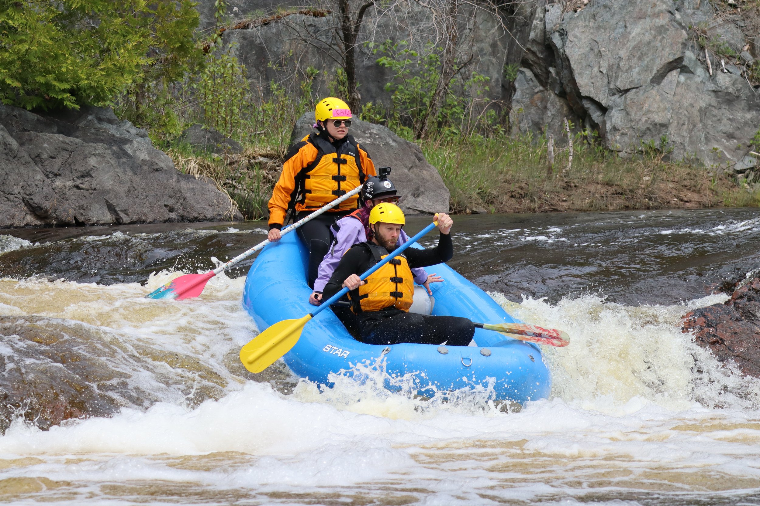
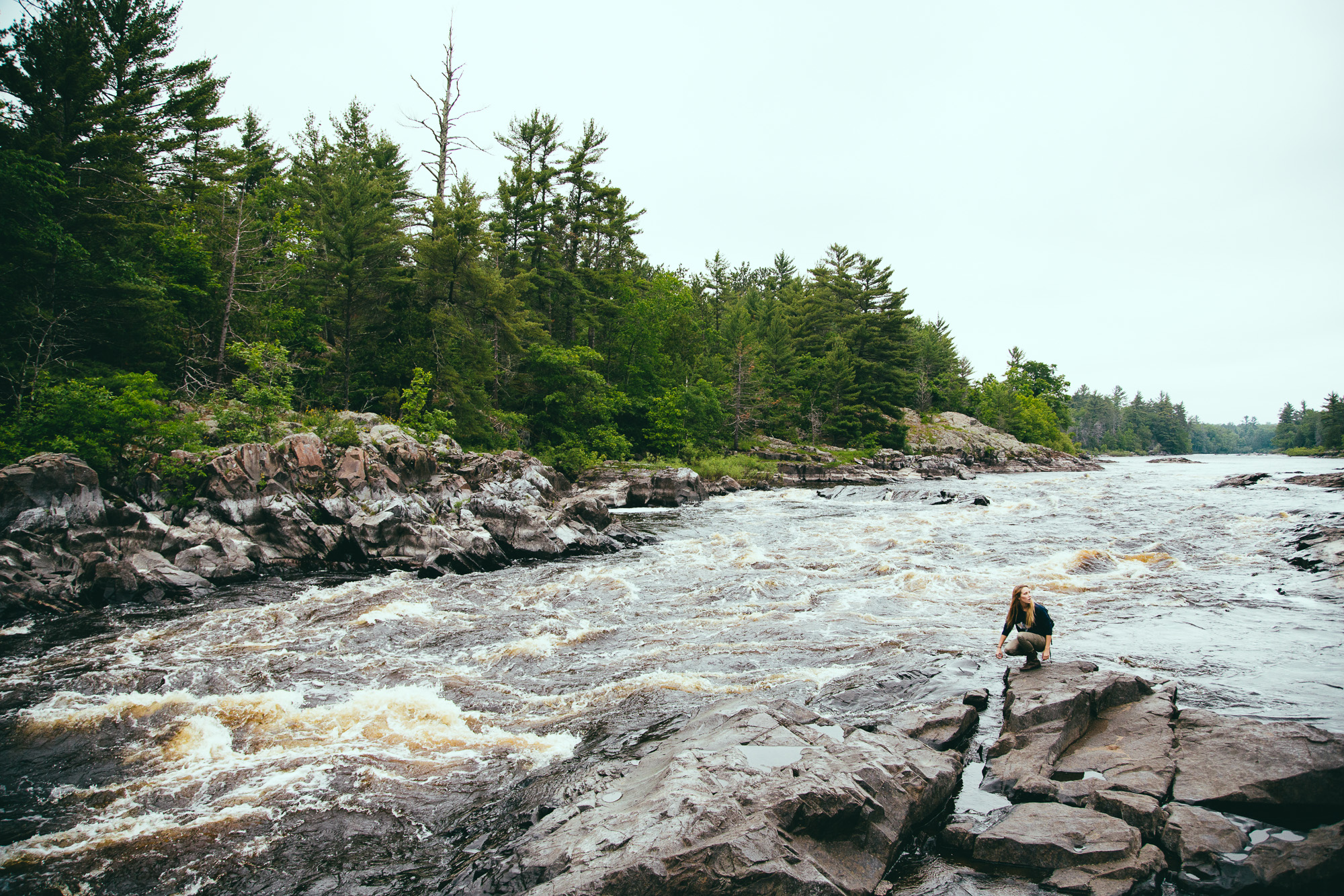
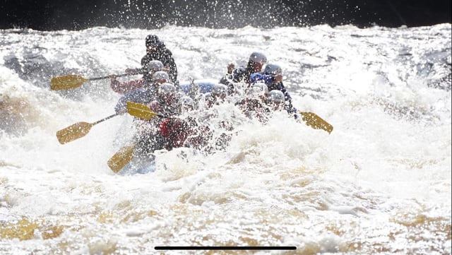
Photo
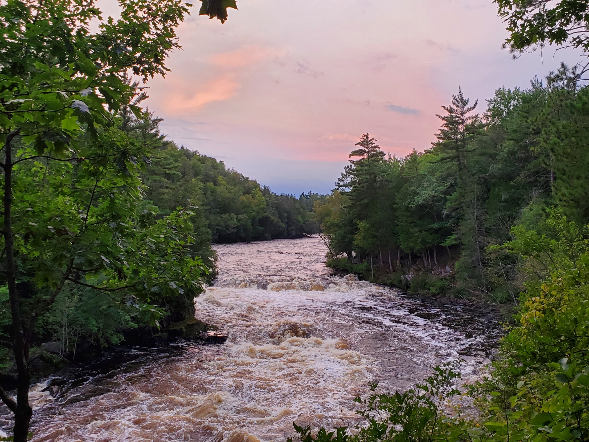
Photo courtesy of American Whitewater
Description
Topo map shows a mill pond (long gone, as it does not show up in satellite views), followed by 30' of drop in a rather short distance starting about here.
Just shy of 1.5 miles of flatwater paddling you'll likely see some buildings (river-left shore), and immediately downstream, as trees close in, the gradient begins.
Location
Interactive river map
Loads as you approach this section.
Other Rapids on This Run (10)
View Full Run
Metropolitan to Calumet Mine Road (5.77 miles)
Sturgeon, W.Br. (Menominee R. trib.)
II-IV
5.1 mi
Current Conditions
5-Day Forecast
Whitewater data from
American Whitewater
American Whitewater