Take-out
MI
Take Out
Save this feature with the run it belongs to.
Gauge Conditions
Runnable: ? – ? CFS
Approximate - nearest available gauge. Use as general reference only.
Data from American Whitewater & USGS
Photo

Photo courtesy of American Whitewater
Description
Take Out rapid serves as the terminus of this river section, potentially marking the end of a challenging stretch with likely transition zones and potential hazard points near the takeout point. While specific technical details are limited, paddlers should approach with standard caution, maintaining awareness of potential underwater obstructions or varying water levels that could complicate exit strategies.
Location
Interactive river map
Loads as you approach this section.
Other Rapids on This Run (10)
Rapid
N/A
USGS sampling site
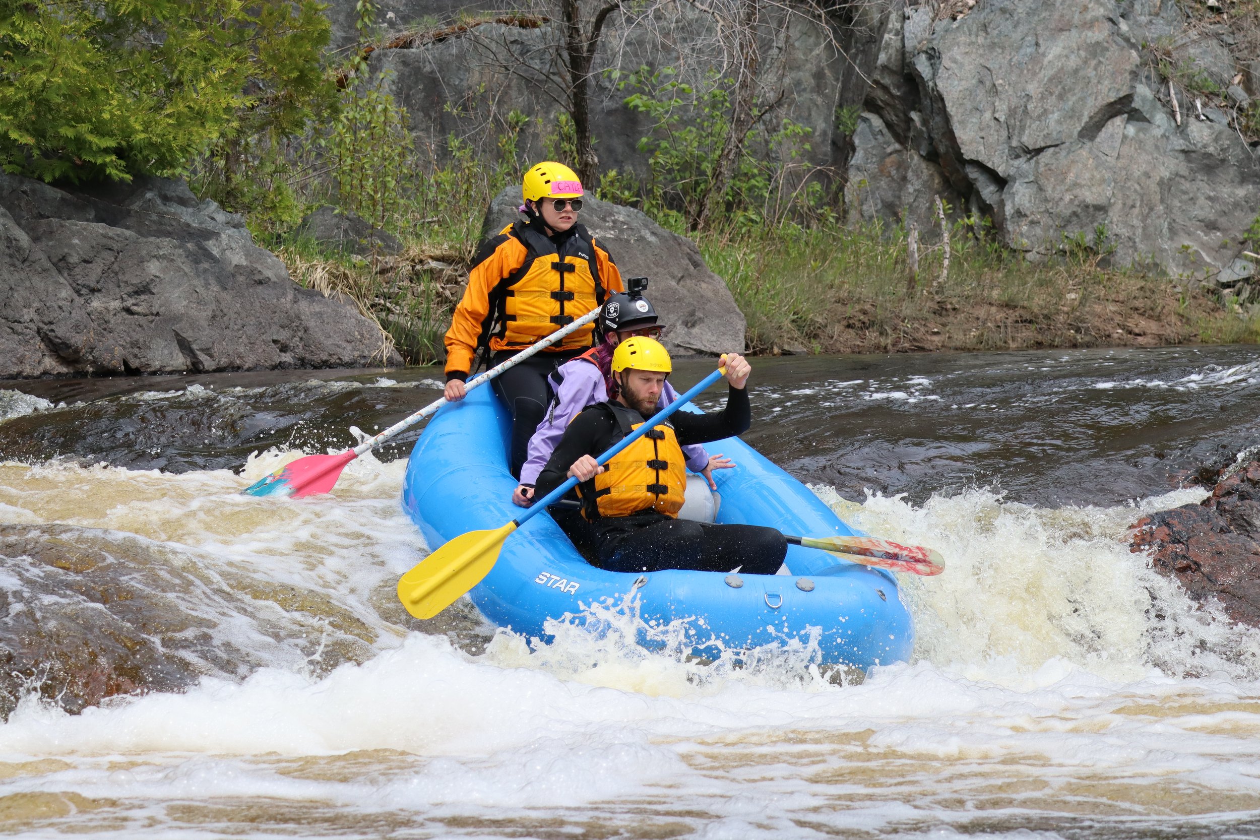 Rapid
N/A
Rapid
N/A
Put In
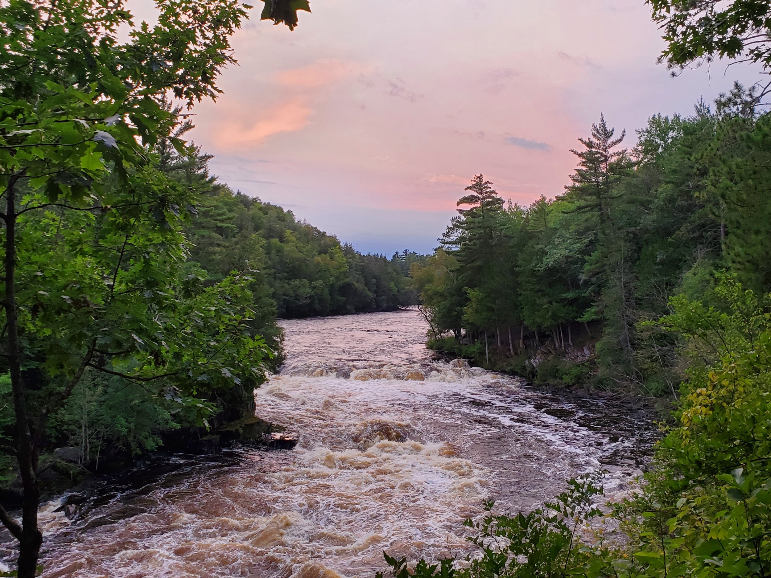 Waterfall
N/A
Waterfall
N/A
Head of Gradient
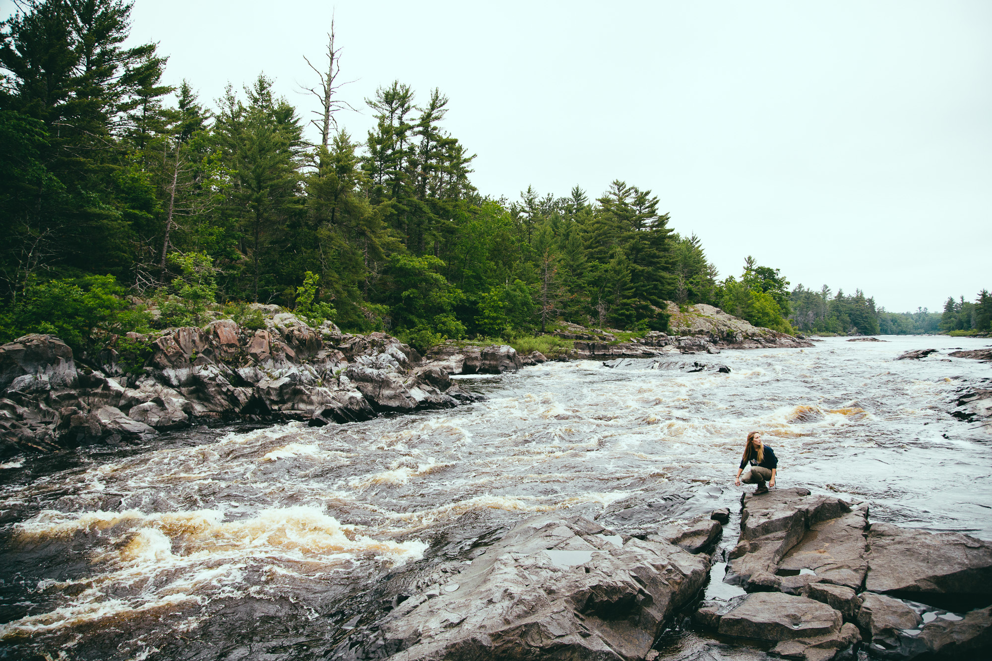 Waterfall
IV
Waterfall
IV
Upper Mill Pond Falls
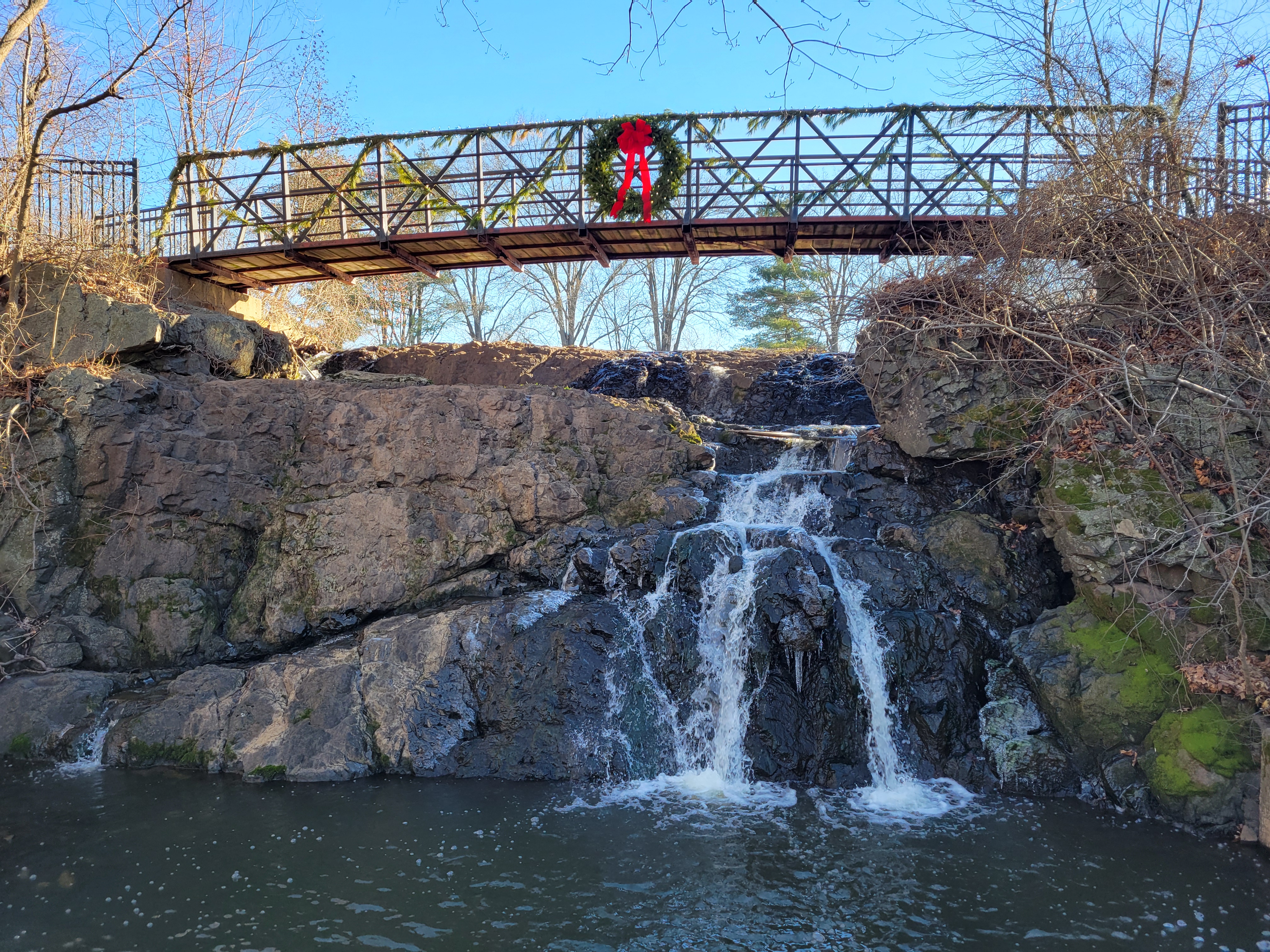 Waterfall
III+
Waterfall
III+
Lower Mill Pond Falls
Rapid
N/A
Camp Suicide Road
Rapid
N/A
Unnamed (truck trail?) road
Rapid
N/A
*Possible* minor rapids
Rapid
N/A
Perhaps random rips
Rapid
N/A
*Possible* rapids
View Full Run
Metropolitan to Calumet Mine Road (5.77 miles)
Sturgeon, W.Br. (Menominee R. trib.)
II-IV
5.1 mi
Current Conditions
5-Day Forecast
Whitewater data from
American Whitewater
American Whitewater