Take-out
WA
Highway 101 Take Out
Save this feature with the run it belongs to.
Gauge Conditions
Data from American Whitewater & USGS
Photo
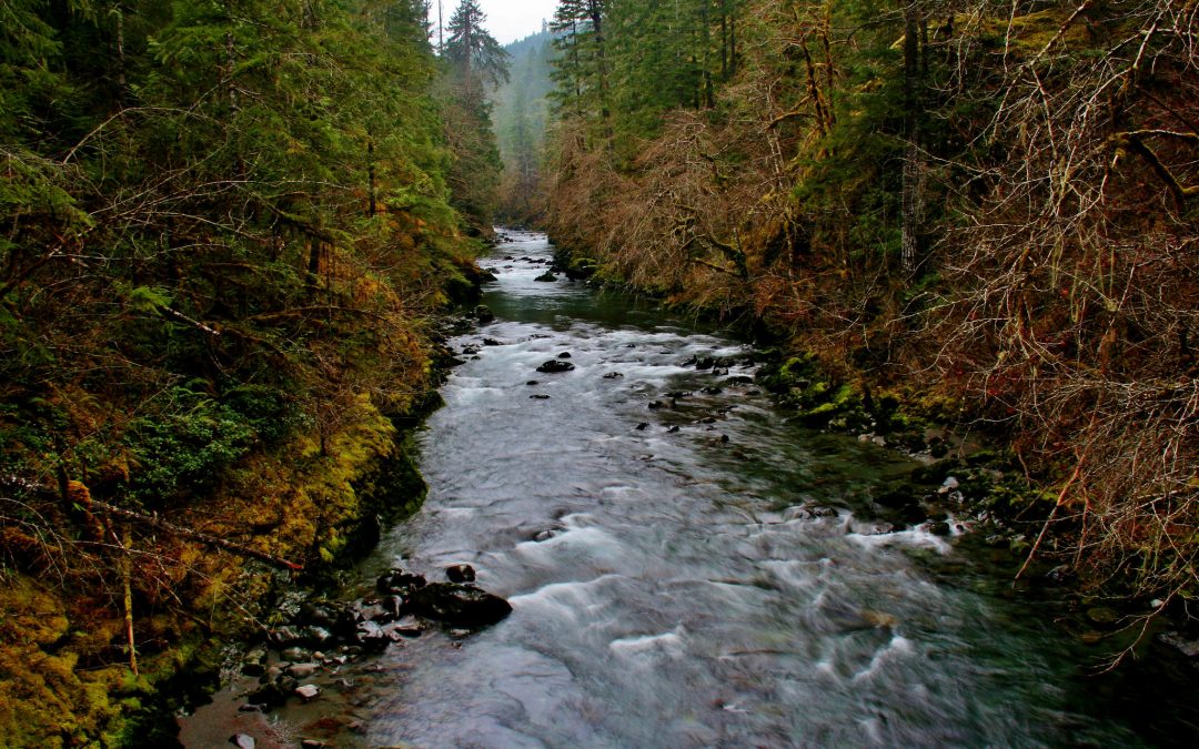
Photo courtesy of American Whitewater
Description
The Highway 101 Take Out on the Duckabush River marks the terminus of a river run with potential for complex river navigation near the bridge. While specific technical details are limited, paddlers should be prepared for potential debris, current variations, and the transition from river to roadside access point requiring careful maneuvering and awareness of surrounding terrain and potential obstacles.
Location
Interactive river map
Loads as you approach this section.
Other Rapids on This Run (3)
View Full Run
2515 Bridge to Highway 101 at mouth
Duckabush
IV
6.6 mi
Current Conditions
5-Day Forecast
Whitewater data from
American Whitewater
American Whitewater