Rapid
WI
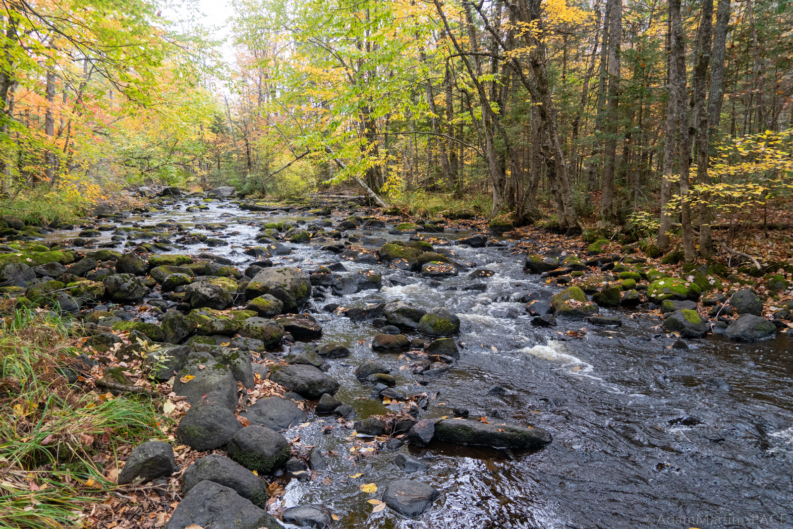
Hwy.13 / USGS sampling site
Save this feature with the run it belongs to.
Gauge Conditions
Runnable: ? – ? CFS
Approximate - nearest available gauge. Use as general reference only.
Data from American Whitewater & USGS
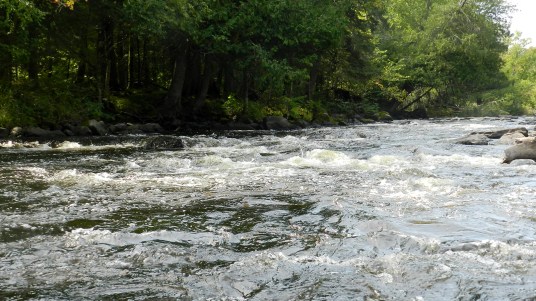
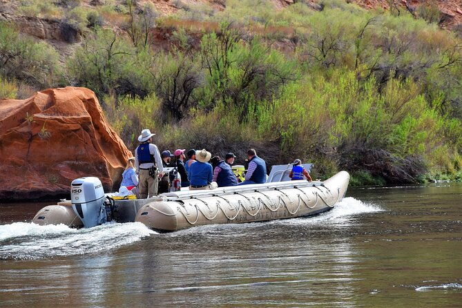
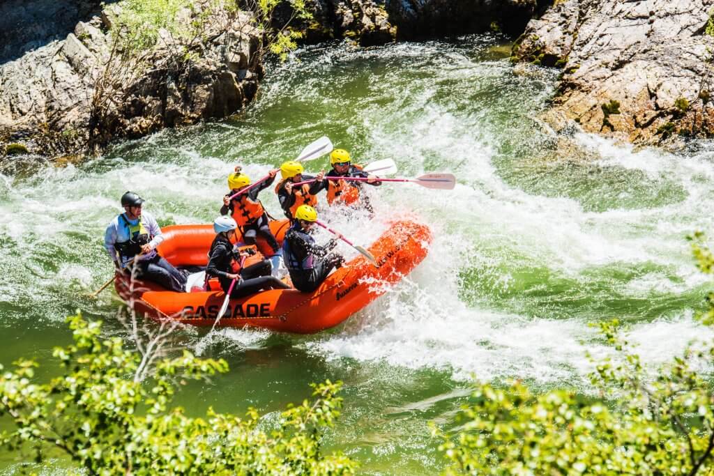
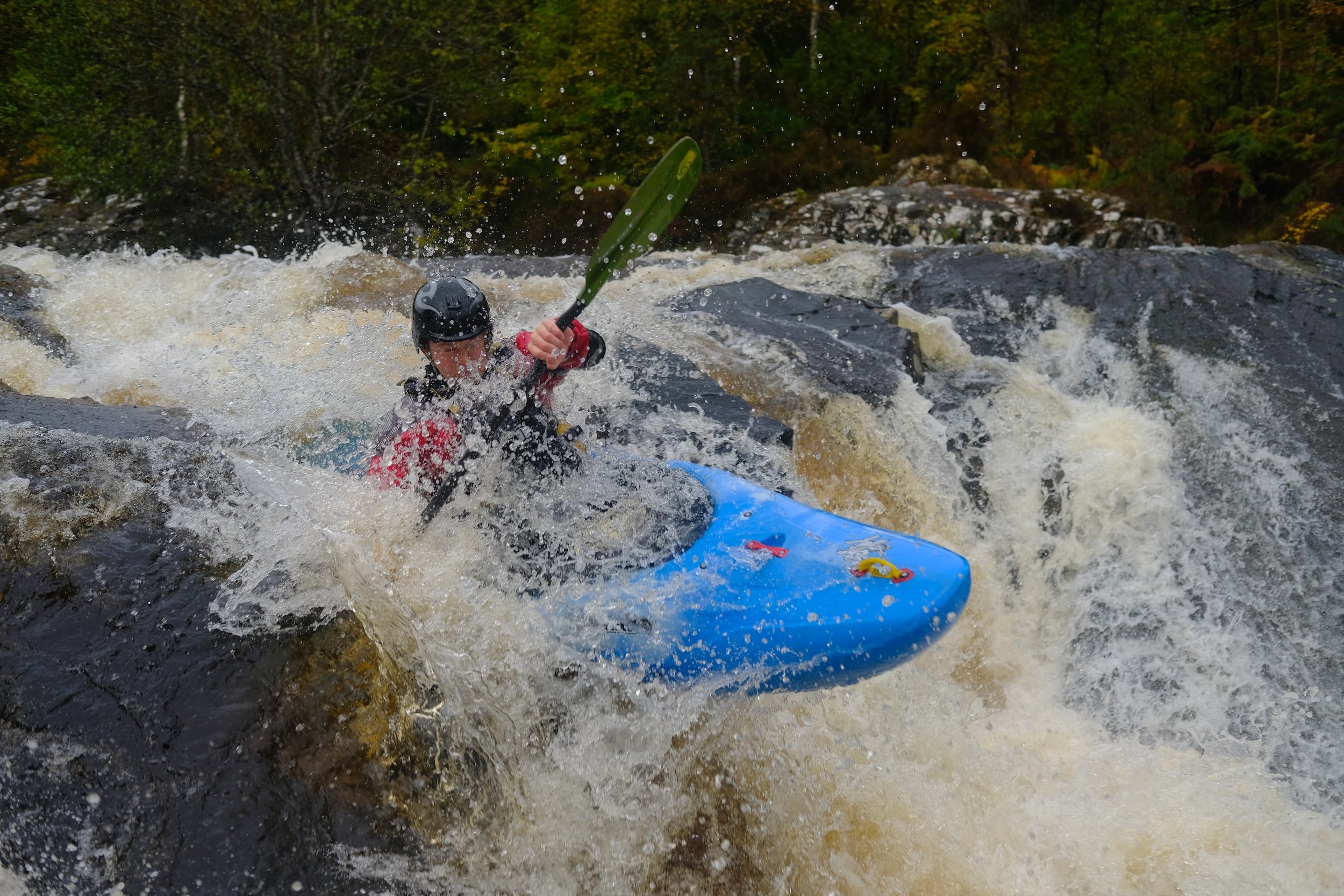
Photo
Photo courtesy of American Whitewater
Description
Aerial view seems to show fence/rail a good ways each side of river, and no obvious/apparent provision for parking. So, while this is listed as the take-out, the other options may actually be better choices!
USGS lists a sampling site here with drainage area of 65.3 square miles.
Location
Other Rapids on This Run (13)
 Rapid
N/A
Rapid
N/A
Alternate start
 Rapid
N/A
Rapid
N/A
Put In
 Rapid
N/A
Rapid
N/A
Spring Brook Road
 Rapid
N/A
Rapid
N/A
Horseshoe Bend / Clearing
 Rapid
N/A
Rapid
N/A
Swamp/unnamed trib
 Rapid
N/A
Rapid
N/A
Beaver Dams and braided channels
 Rapid
N/A
Rapid
N/A
Confluence, Spring Brook
 Rapid
N/A
Rapid
N/A
Steep Eroded Bank
 Rapid
N/A
Rapid
N/A
Eade Road / Cemetery Road
 Rapid
N/A
Rapid
N/A
Islands
 Rapid
N/A
Rapid
N/A
CTH.C
 Rapid
N/A
Rapid
N/A
Take Out
 Rapid
N/A
Rapid
N/A
Ensinger Road
View Full Run
B) Beaverdam Lake to Ensinger Road (9.5-10.9-11.8 miles)
Brunsweiler
II-III+(IV)
11.0 mi
Current Conditions
5-Day Forecast
Whitewater data from
American Whitewater
American Whitewater