Put-in
WI
Put In
Save this feature with the run it belongs to.
Gauge Conditions
Runnable: ? – ? CFS
Approximate - nearest available gauge. Use as general reference only.
Data from American Whitewater & USGS
Photo
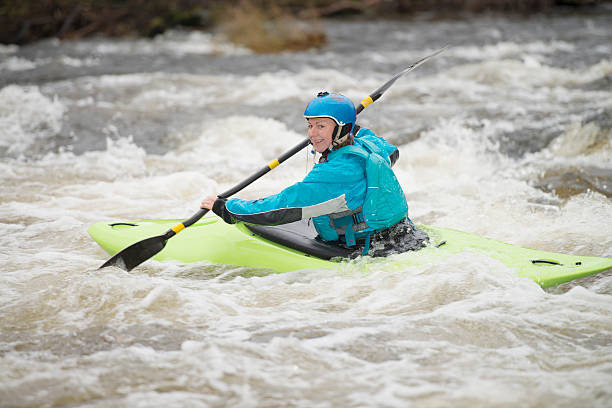
Photo courtesy of American Whitewater
Description
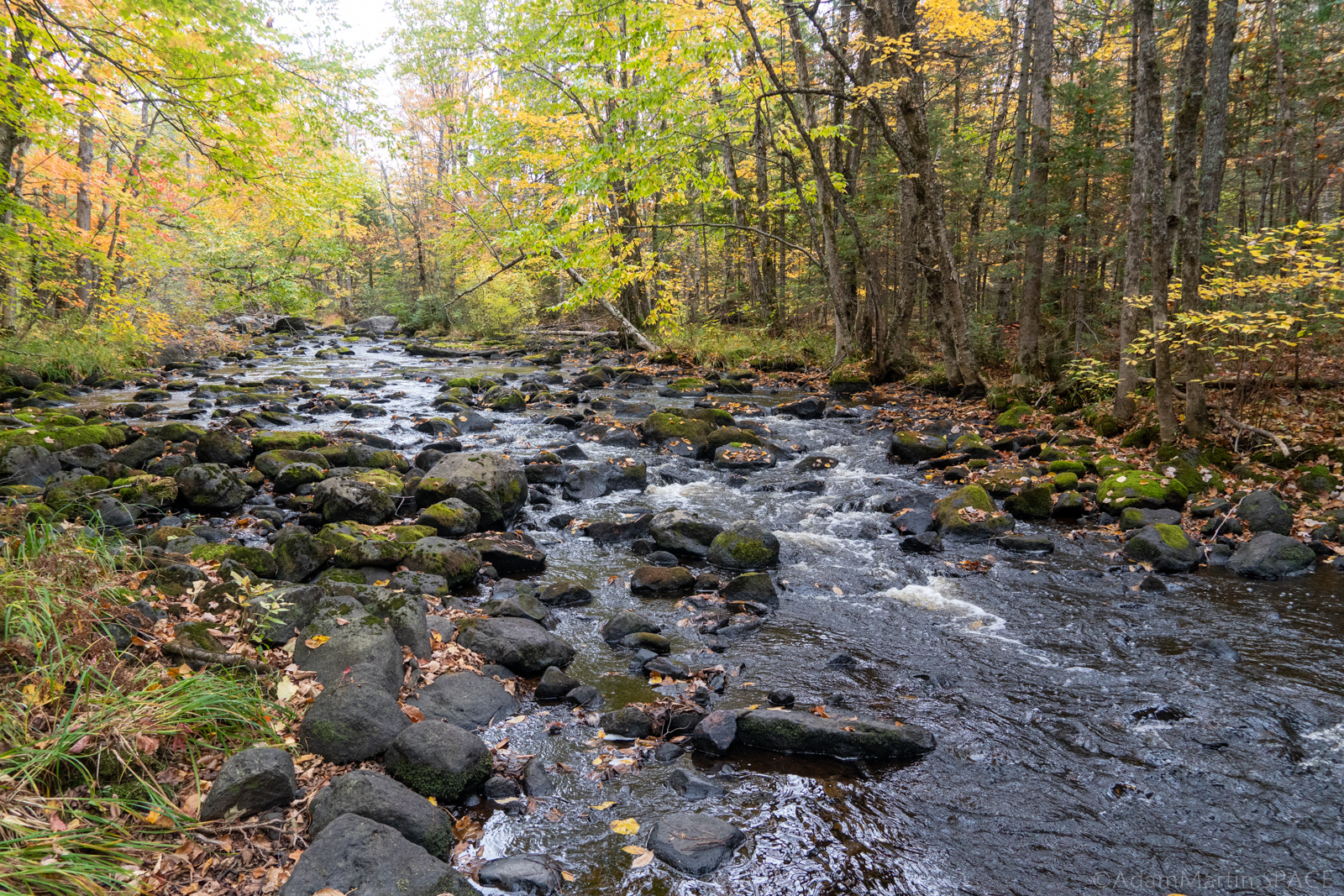
Put In rapid on the Brunsweiler's Beaverdam Lake to Ensinger Road section presents limited technical challenges, with minimal distinguishing features. Paddlers should maintain awareness of potential submerged obstacles and varying water levels that could impact navigation. While the specific difficulty rating is not classified, standard river navigation skills are recommended.
Location
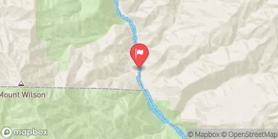
Interactive river map
Loads as you approach this section.
Other Rapids on This Run (13)
 Rapid
N/A
Rapid
N/A
Alternate start
 Rapid
N/A
Rapid
N/A
Spring Brook Road
 Rapid
N/A
Rapid
N/A
Horseshoe Bend / Clearing
 Rapid
N/A
Rapid
N/A
Swamp/unnamed trib
 Rapid
N/A
Rapid
N/A
Beaver Dams and braided channels
 Rapid
N/A
Rapid
N/A
Confluence, Spring Brook
 Rapid
N/A
Rapid
N/A
Steep Eroded Bank
 Rapid
N/A
Rapid
N/A
Eade Road / Cemetery Road
 Rapid
N/A
Rapid
N/A
Islands
 Rapid
N/A
Rapid
N/A
CTH.C
 Rapid
N/A
Rapid
N/A
Hwy.13 / USGS sampling site
 Rapid
N/A
Rapid
N/A
Take Out
 Rapid
N/A
Rapid
N/A
Ensinger Road
View Full Run
B) Beaverdam Lake to Ensinger Road (9.5-10.9-11.8 miles)
Brunsweiler
II-III+(IV)
11.0 mi
Current Conditions
5-Day Forecast
Whitewater data from
American Whitewater
American Whitewater