Put-in
WI
Hwy.59 (Eastern Crossing)
Save this feature with the run it belongs to.
Gauge Conditions
Runnable: 80.0 – 1,000.0 CFS
Low-moderate to moderate flows.
Data from American Whitewater & USGS
Photo
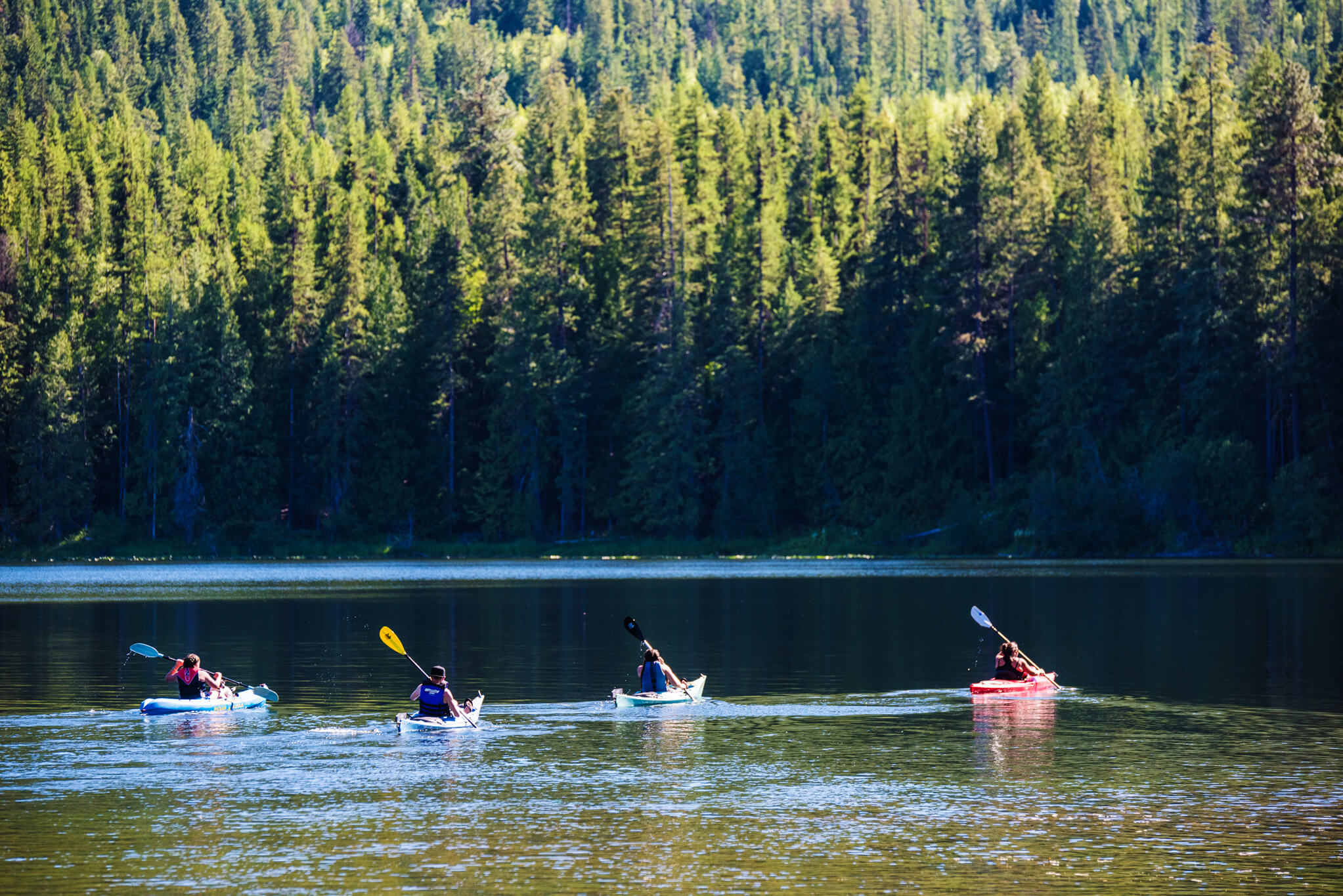
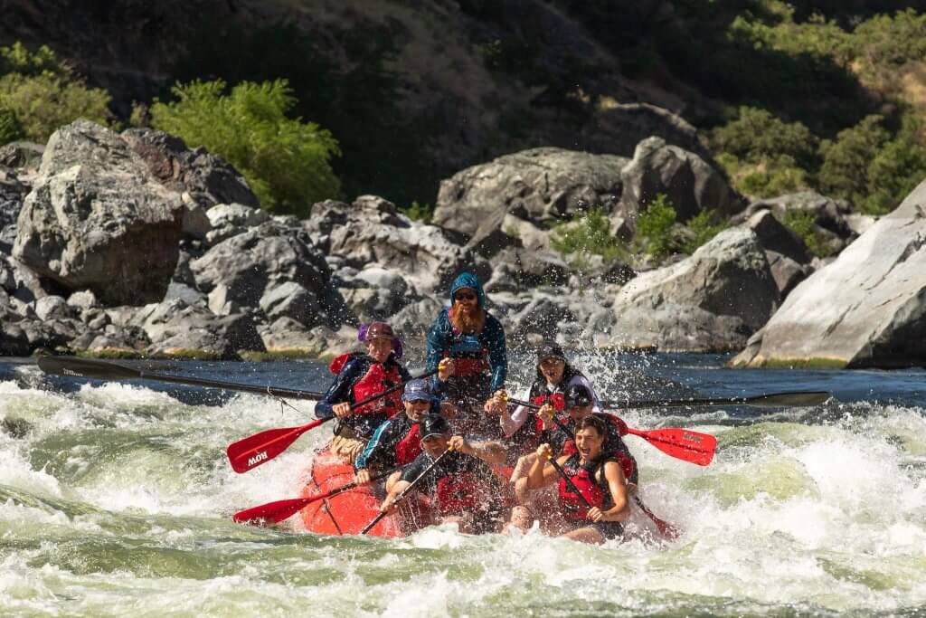
Photo courtesy of American Whitewater
Description
The Highway 59 crossing presents a straightforward river passage with minimal technical challenges. Paddlers should be aware of potential debris and variations in water level that could impact navigation through this section. While not a high-difficulty rapid, careful line selection and standard river reading skills are recommended.
Location
Interactive river map
Loads as you approach this section.
Other Rapids on This Run (13)
 Rapid
N/A
Rapid
N/A
NOTE:
 Rapid
N/A
Rapid
N/A
CTH.B
 Rapid
N/A
Rapid
N/A
Sunrise Road
 Rapid
N/A
Rapid
N/A
Hwy.138/Cooksville
 Rapid
N/A
Rapid
N/A
Start of Badfish River
 Rapid
N/A
Rapid
N/A
Hwy.59 (Western Crossing)
 Rapid
N/A
Rapid
N/A
Old Stone Road
 Rapid
N/A
Rapid
N/A
Casey Road *****
 Rapid
N/A
Rapid
N/A
Old Stage Road *** Recommended Put In***
 Rapid
N/A
Rapid
N/A
Leedle Mill Road
 Rapid
N/A
Rapid
N/A
Riley Road
 Rapid
N/A
Rapid
N/A
Hwy.59 (Yahara R.take-out)
 Rapid
N/A
Rapid
N/A
Take Out: N.Casey Road
View Full Run
Old Stage Road to Casey Road (6.7 miles)
Badfish
I(II)
6.5 mi
Current Conditions
5-Day Forecast
Whitewater data from
American Whitewater
American Whitewater