K-Ledge
Save this feature with the run it belongs to.
Gauge Conditions
Runnable: ? – ? CFS
Approximate - nearest available gauge. Use as general reference only.
Data from American Whitewater & USGS
Photo
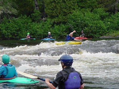
Photo courtesy of American Whitewater
Description
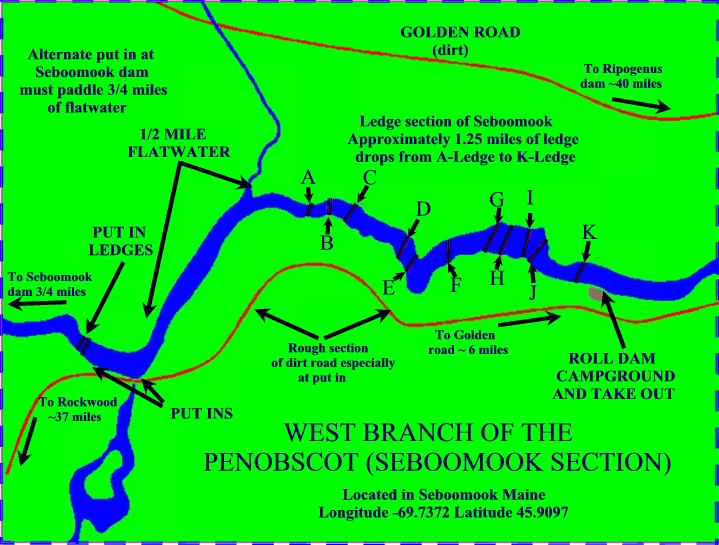
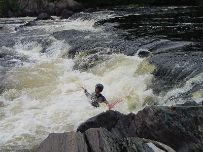
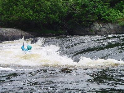
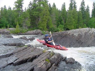
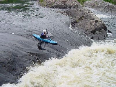
The last drop before the takeout. It is a double ledge drop with a slanted second ledge that breaks from river left to right. Catch the wave just after the first ledge on river right then surf it down to river left.
Location
Interactive river map
Loads as you approach this section.
View Full Run
Seboomook Dam to Roll Dam Campsite
Penobscot, W. Branch
III
2.9 mi
Current Conditions
5-Day Forecast
Whitewater data from
American Whitewater
American Whitewater