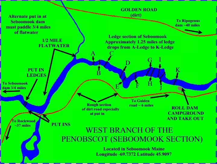
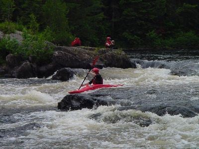
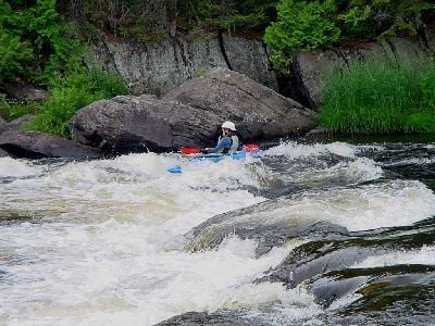
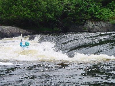
Put in ledges
Save this feature with the run it belongs to.
Gauge Conditions
Runnable: ? – ? CFS
Approximate - nearest available gauge. Use as general reference only.
Data from American Whitewater & USGS
Description
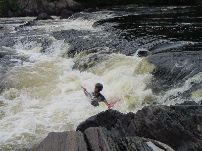
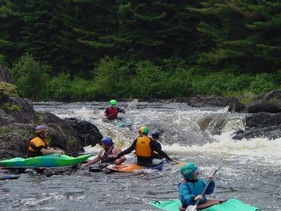
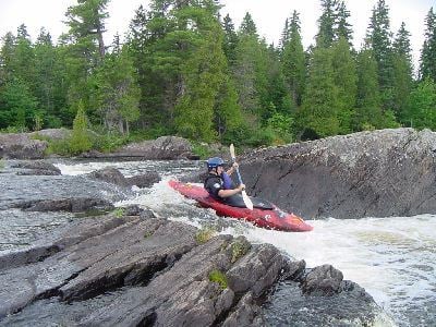
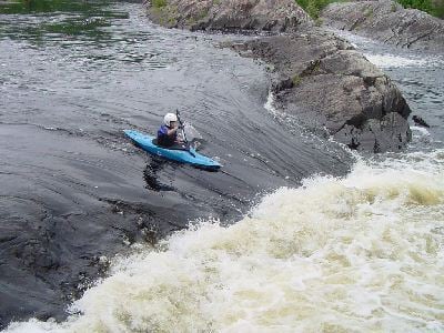
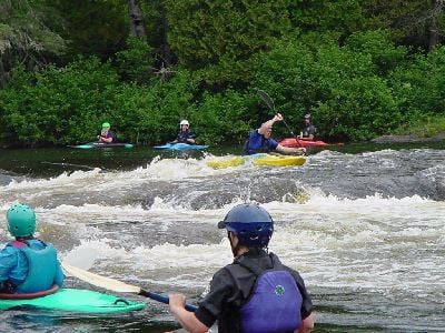
If you put in at the trail slightly upstream from the road washout, you can carry down to the base of two river wide ledges. Carry up and run on river left through two grabby holes. Some play at the base of the drop while waiting for the shuttle crew. Alternatively, run river left, then ferry river right.
Location
Interactive river map
Loads as you approach this section.
View Full Run
Seboomook Dam to Roll Dam Campsite
Penobscot, W. Branch
III
2.9 mi
Current Conditions
5-Day Forecast
Whitewater data from
American Whitewater
American Whitewater