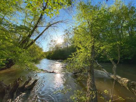
Take-out
GA
Kelly Bridge Road
Save this feature with the run it belongs to.
Gauge Conditions
Data from American Whitewater & USGS
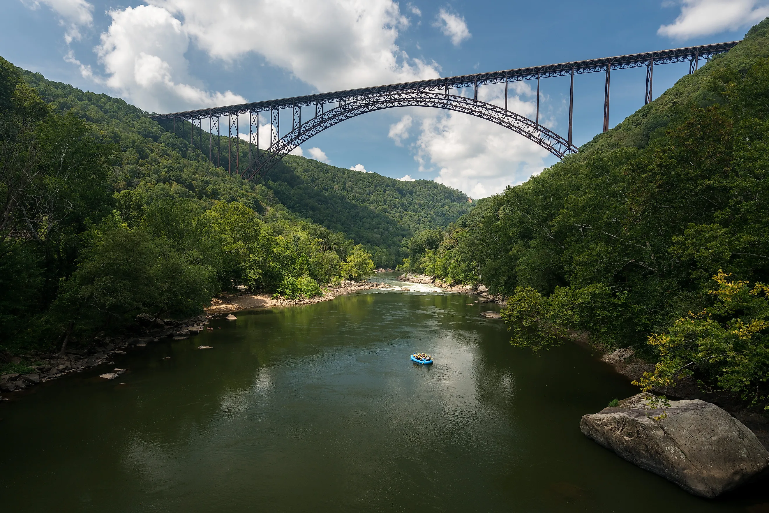
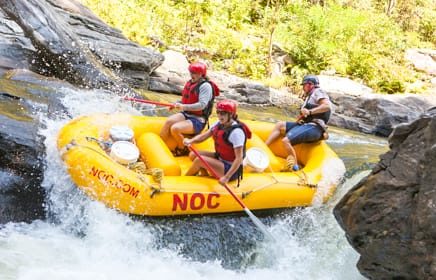
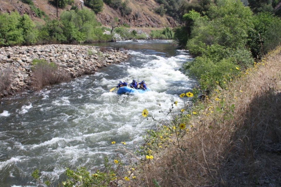
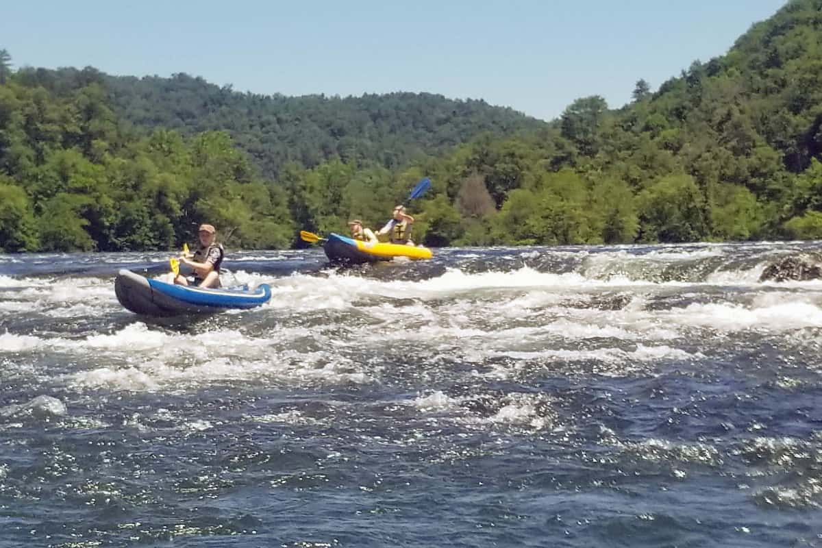
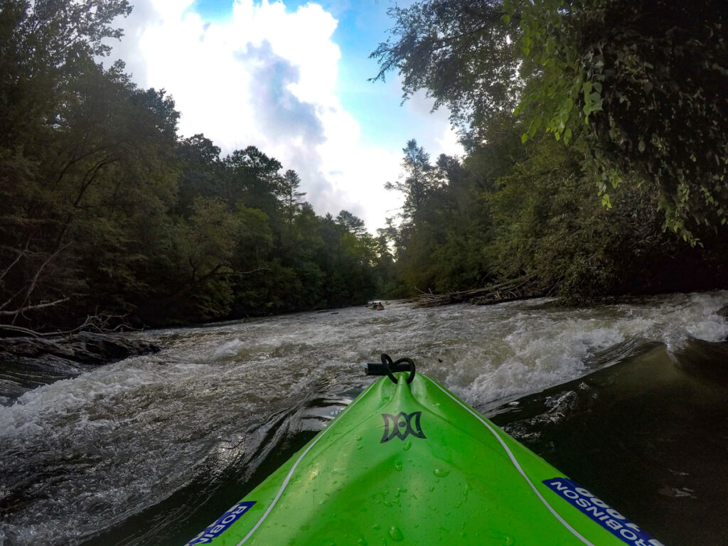
Photo
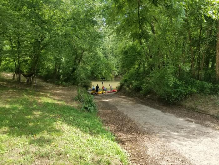
Photo courtesy of American Whitewater
Description
Take out at the paved boat ramp in the river-right bank about 100 yards before the bridge. The property is privately owned, so pay the small fee and follow the rules posted on the gate at the driveway.
Location
Interactive river map
Loads as you approach this section.
View Full Run
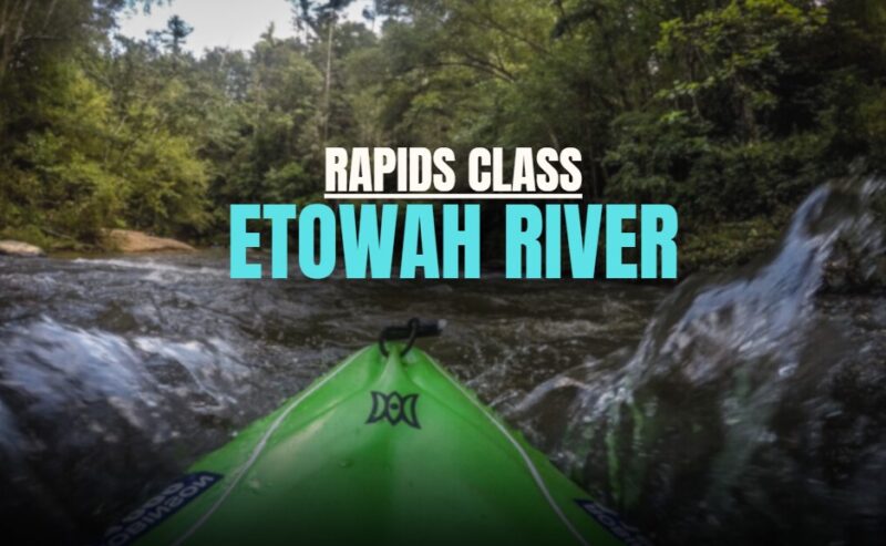
5 - Highway 136 to Kelly Bridge Road
Etowah
I(II)
18.2 mi
Current Conditions
5-Day Forecast
Whitewater data from
American Whitewater
American Whitewater