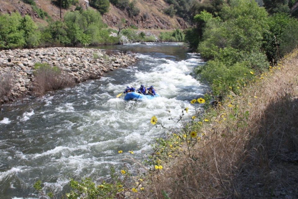
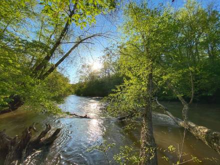
One Rock
Save this feature with the run it belongs to.
Gauge Conditions
Data from American Whitewater & USGS
Photo
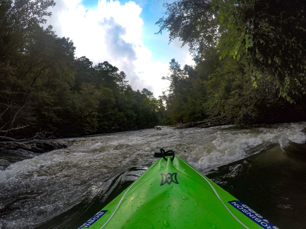
Photo courtesy of American Whitewater
Description
The channel to the left of the rock has two small drops, the second of which is very scrapy at low water levels: stay close to the left bank. If you go around the rock to the right, stay close to the right bank.
Location
View Full Run
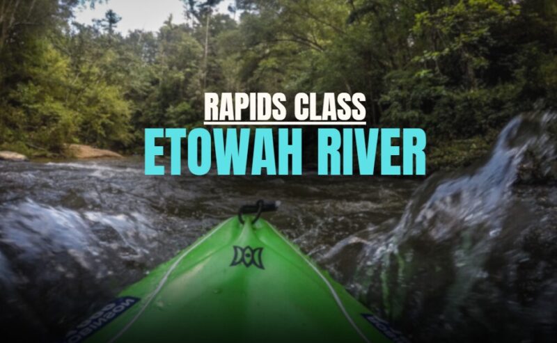
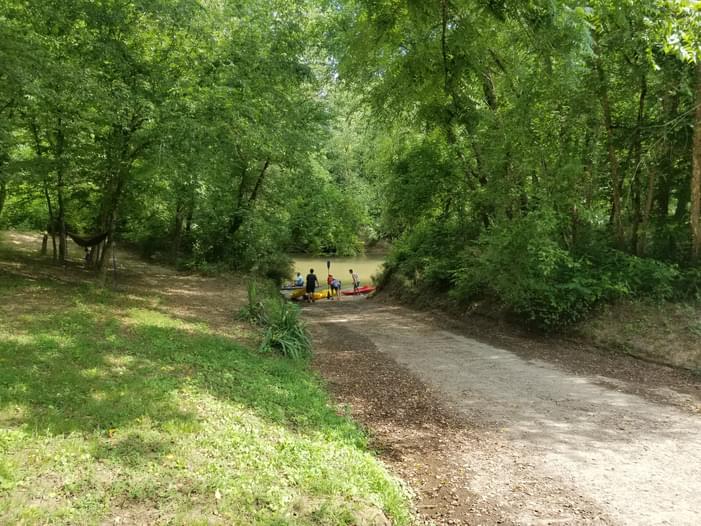
5 - Highway 136 to Kelly Bridge Road
Etowah
I(II)
18.2 mi
Hazard — Exercise extreme caution in this area.
Current Conditions
5-Day Forecast
Whitewater data from
American Whitewater
American Whitewater