Take-out
ID
Kooskia Bridge Boat Ramp Take Out
Save this feature with the run it belongs to.
Gauge Conditions
Runnable: 1,000.0 – 20,000.0 CFS
Optimal: 3,000 – 12,000
Lochsa gauge at confluence
Data from American Whitewater & USGS
Photo
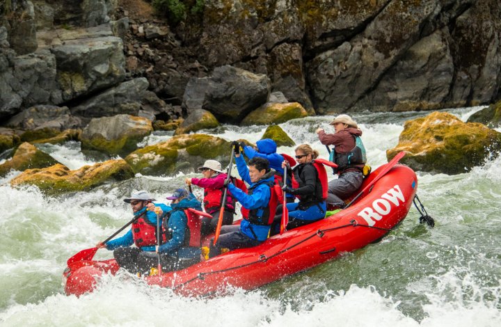
Photo courtesy of American Whitewater
Description
Access in Kooskia on river right downstream of the bridge. This site has a dirt ramp accessible for trailered boats and a portable toilet. Located at Highway 12 mile 73.9.
Location
Interactive river map
Loads as you approach this section.
View Full Run
Lowell to Kooskia
Clearwater, Middle Fork
I-II
23.0 mi
Current Conditions
5-Day Forecast
Whitewater data from
American Whitewater
American Whitewater