Take-out
WA
Lacamas Creek Trailhead Take-out
Save this feature with the run it belongs to.
Gauge Conditions
Runnable: ? – ? CFS
Approximate - nearest available gauge. Use as general reference only.
Data from American Whitewater & USGS
Photo
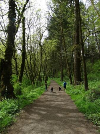
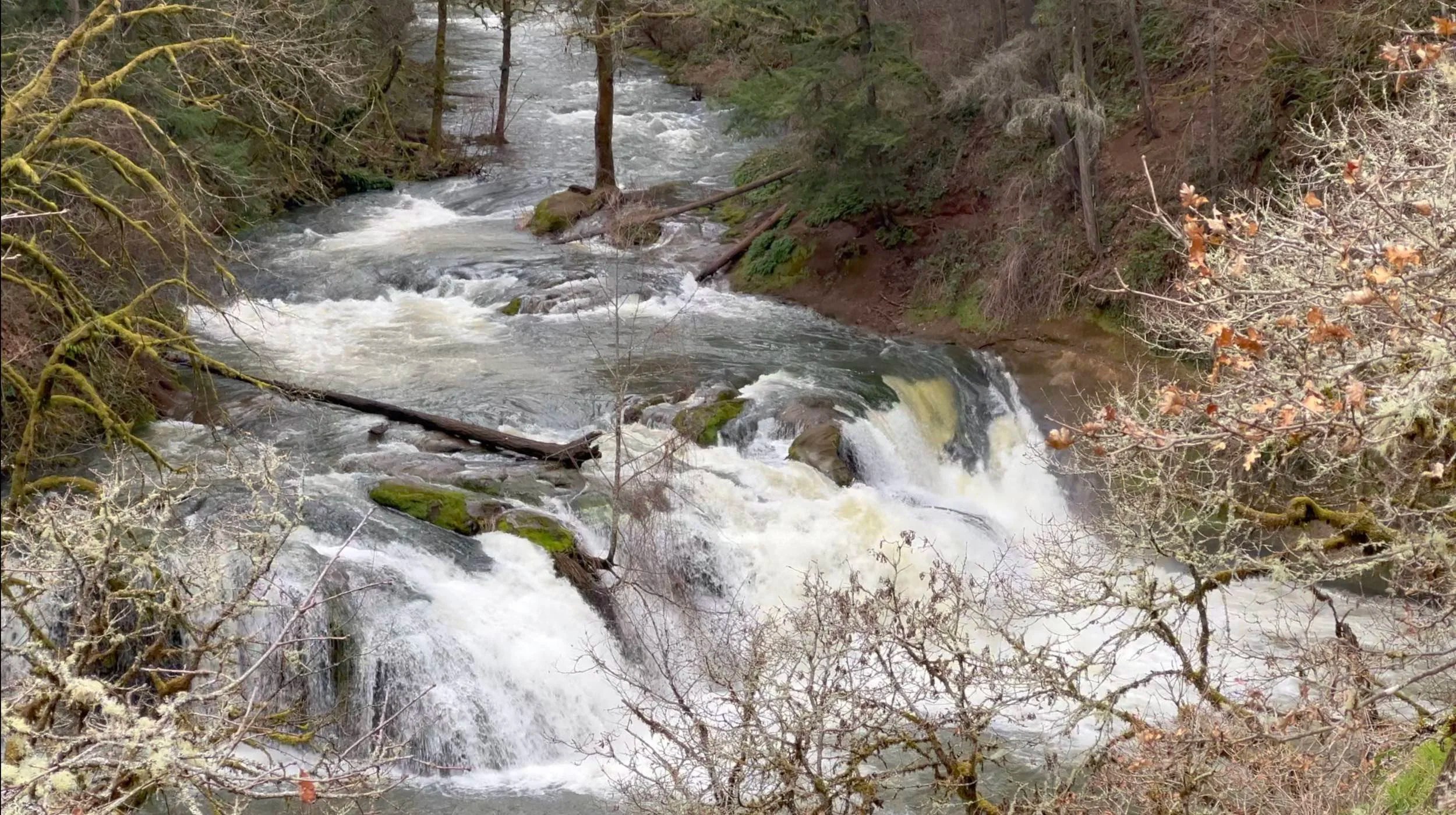
Photo courtesy of American Whitewater
Description
The take-out is at the Lacamas Creek Trailhead on the upstream river right side of the Highway 14 Bridge. While you will park at Lacamas Creek Trailhead, you will want to scout where to takeout from the parking lot. The closer you get to the parking lot, the steeper the bank gets. The ideal place to takeout is roughly one or two tenths of a mile from the parking lot. You will likely have some wood portages between Little Norway and the takeout, but they are in class 0-1 water, so it's easy to portage them
Location
Interactive river map
Loads as you approach this section.
Other Rapids on This Run (4)
View Full Run
Round Lake to Highway 14
Lacamas Creek
V
1.6 mi
Current Conditions
5-Day Forecast
Whitewater data from
American Whitewater
American Whitewater