Take-out
AL
Lake Guntersville
Save this feature with the run it belongs to.
Gauge Conditions
Runnable: ? – ? CFS
Approximate - nearest available gauge. Use as general reference only.
Data from American Whitewater & USGS
Description
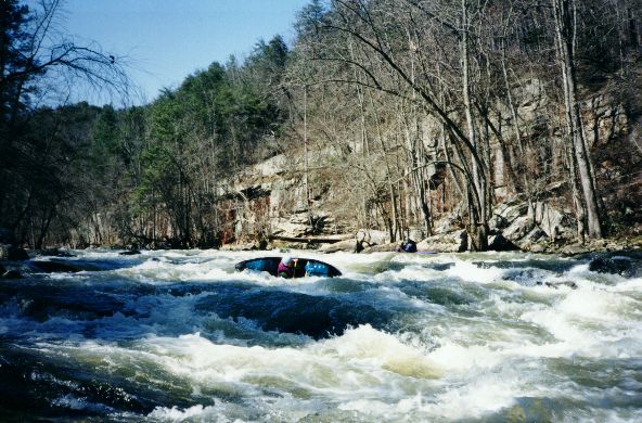
After a number of wide, easy rapids, you'll reach the lake. If you work far right on the last rapid, you'll find a fun 4 foot boof to end the day with. Additionally, the eddy line on far river left (or is it lake left?) presents one last opportunity for stern squirts as the creek dumps into the lake.
Once you reach the flatwater, celebrate the fact that you made it down the notorious Short Crick, and prepare yourself for the 45-minute, 3-mile paddle out. Just follow the channel all the way to the boat ramp. When the lake doglegs to the left for the first time, don’t get too close to the island or you’ll run aground.
Location
Interactive river map
Loads as you approach this section.
View Full Run
CR 409 to Guntersville Lake
Short Creek
III-IV
8.2 mi
Current Conditions
5-Day Forecast
Whitewater data from
American Whitewater
American Whitewater