Landslide Rapid
Save this feature with the run it belongs to.
Gauge Conditions
Data from American Whitewater & USGS
Description
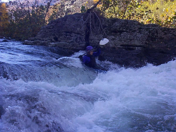
Landslide Rapid - Landslide rapid has a log in the channel below where you enter on river left. Also some rocks have shifted, which make the entrance move of entering left, hitting the micro eddy, and peeling out, more difficult. This rapid is not the pre 1985 "Landslide" rapid (which was lost due to the appearance of a gravel bar just below it in the 1985 flood), but a rapid formed by a new landslide that occurred a number of years ago, well after the flood.
Location
Interactive river map
Loads as you approach this section.
Other Rapids on This Run (4)

View Full Run
5. Head of Hopeville Canyon to Hopeville
Potomac, North Fork of South Branch
II-III
4.5 mi
Current Conditions
5-Day Forecast
Whitewater data from
American Whitewater
American Whitewater