"Last" Take-out, Hwy 84
Save this feature with the run it belongs to.
Gauge Conditions
Runnable: 200.0 – 3,000.0 CFS
Flow range for best boatability uncertain. Please help your fellow boaters with a comment or report.
Data from American Whitewater & USGS
Description
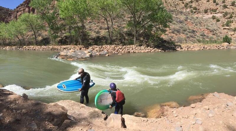
If you miss the first take out, or really need another half-mile of class I, the second take-out is river left just after passing under Highway 84. Another rock weir / low-head dam is present here and may be runnable with an eddy of river left for take out. As with the previous rock wiers, they are natural features and could present significant entrapment hazards at any level.
The river below is unlikely to be run. The next take out is at the crossing with 554, at 13.6 mi, where another rock weir diverts a significant flow to river right. Below is an addition 20 miles of water crossing multiple low-head damns, some impassable, until the confluence with the Rio Grande at approximately 33 river miles.
The river below is unlikely to be run. The next take out is at the crossing with 554, at 13.6 mi, where another rock weir diverts a significant flow to river right. Below is an addition 20 miles of water crossing multiple low-head damns, some impassable, until the confluence with the Rio Grande at approximately 33 river miles.
Location
View Full Run
05. Abiquiu Dam to confluence with Rio Grande
Rio Chama
I-II
7.5 mi
Current Conditions
5-Day Forecast
Whitewater data from
American Whitewater
American Whitewater