Rapid
OH
Ledges
Save this feature with the run it belongs to.
Gauge Conditions
Runnable: ? – ? CFS
Approximate - nearest available gauge. Use as general reference only.
Data from American Whitewater & USGS
Photo
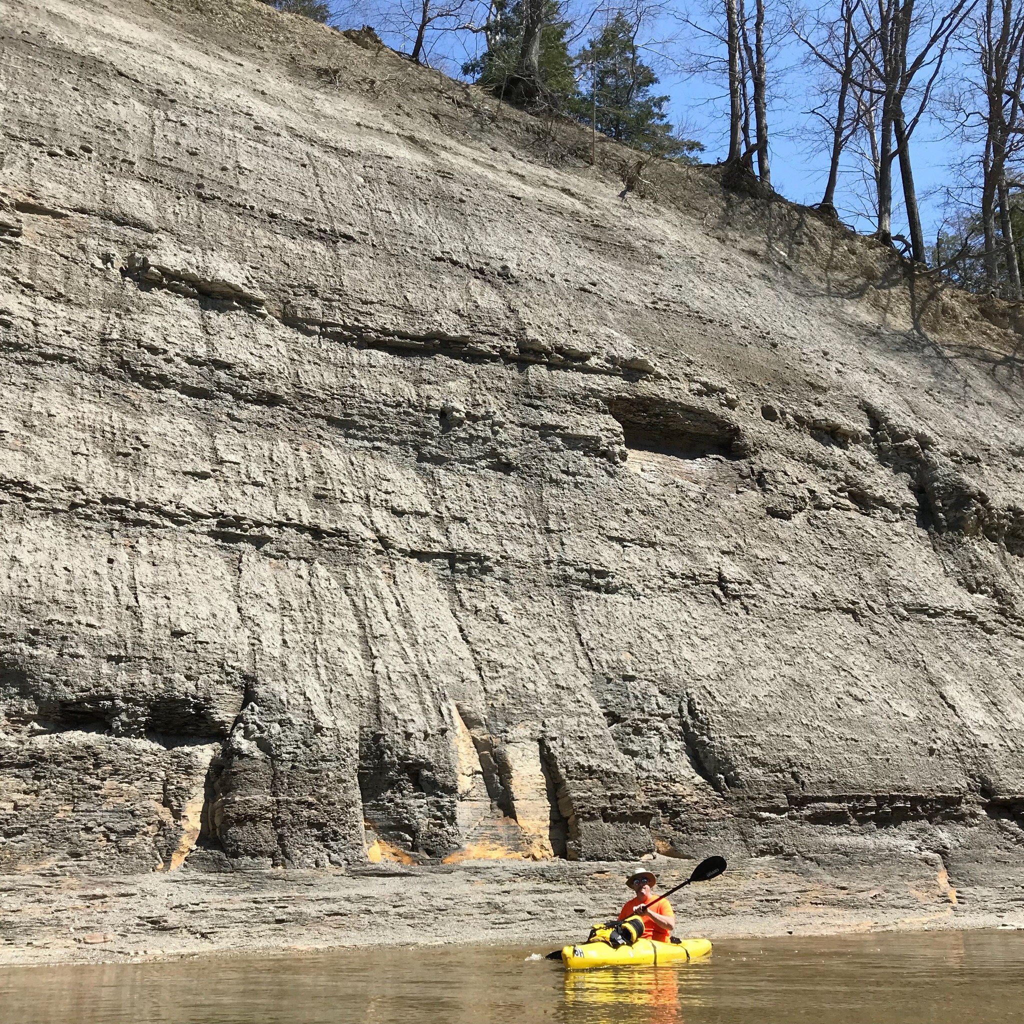
Photo courtesy of American Whitewater
Description
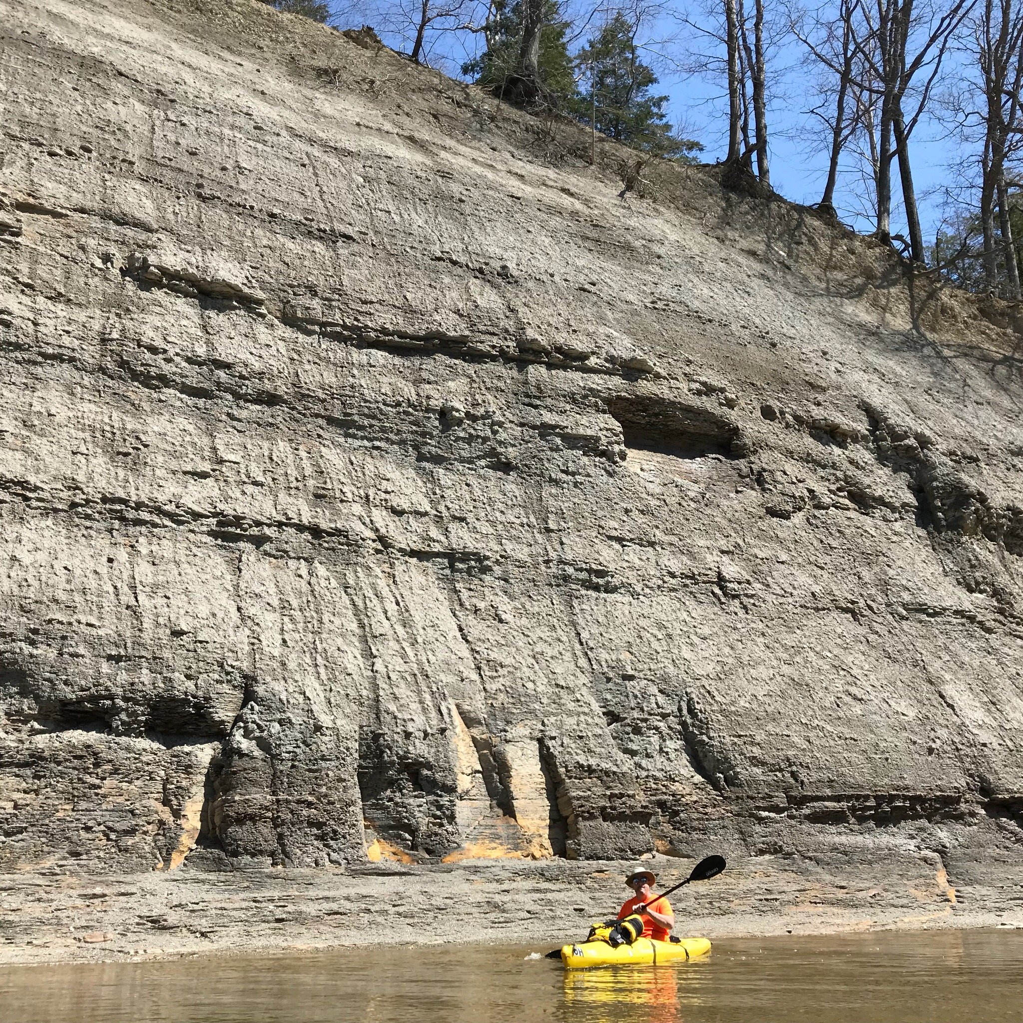
Ledges presents a complex series of rocky drops and technical maneuvering through a tight, boulder-strewn channel. Paddlers must carefully navigate multiple small ledge formations that create unpredictable hydraulics and potential pin hazards, requiring precise boat positioning and quick reflexes to maintain control through the sequence.
Location
Interactive river map
Loads as you approach this section.
View Full Run
Mitchell Mills Rd. to Daniels Park (11.25 miles)
Chagrin, E.Br.
II
10.4 mi
Current Conditions
5-Day Forecast
Whitewater data from
American Whitewater
American Whitewater