Gauge Conditions
Runnable: ? – ? CFS
Approximate - nearest available gauge. Use as general reference only.
Data from American Whitewater & USGS
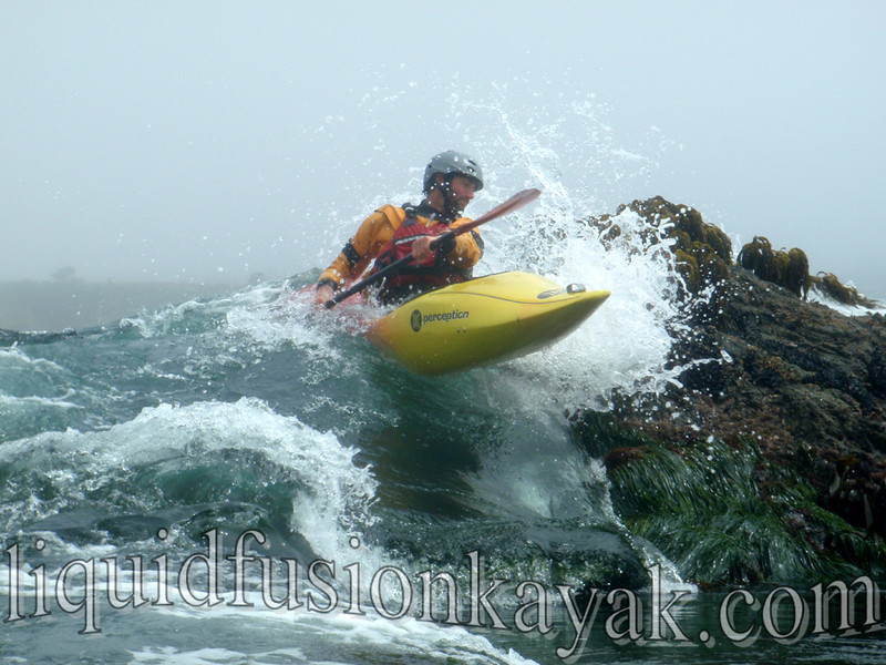
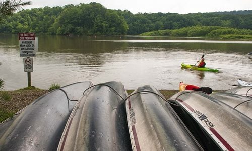
Photo
Photo courtesy of American Whitewater
Description
Take Out rapid marks the end of the Mitchell Mills Road to Daniels Park run, characterized by a straightforward exit point with minimal technical challenges. While not a notably difficult feature, paddlers should be aware of potential debris or shifting riverbed conditions near the takeout point that could impact boat positioning during low water levels.
Location


View Full Run
Mitchell Mills Rd. to Daniels Park (11.25 miles)
Chagrin, E.Br.
II
10.4 mi
Current Conditions
5-Day Forecast
Whitewater data from
American Whitewater
American Whitewater