Take-out
WI
Little Falls
Save this feature with the run it belongs to.
Gauge Conditions
Runnable: 525.0 – 3,525.0 CFS
Likely low flows (perhaps 150-300 cfs). (Possibly E.L.F. level - Extreme Low Flow run.)
Data from American Whitewater & USGS
Photo
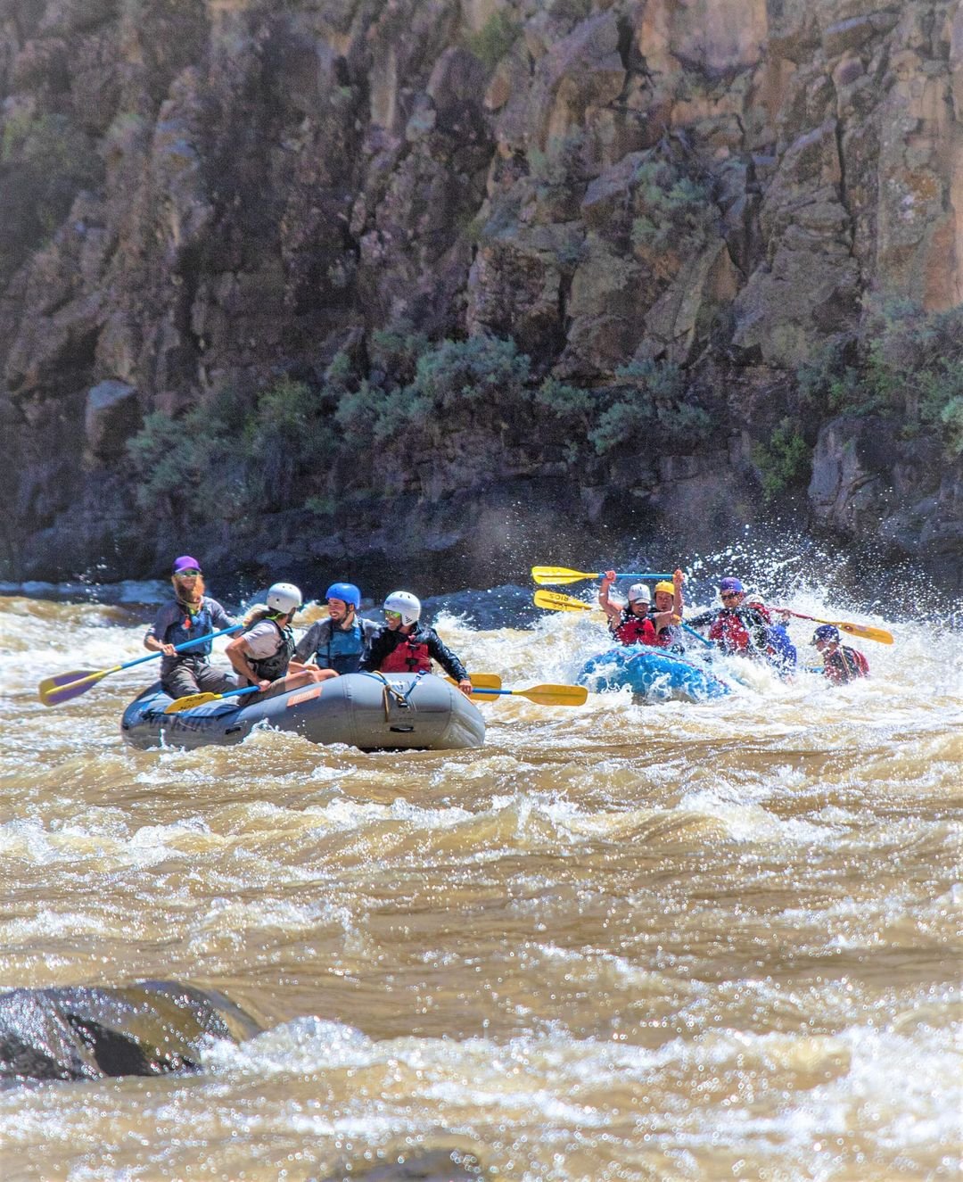
Photo courtesy of American Whitewater
Description
Our take-out for this run is either at the head of Little Falls or at the end of Little Falls.At relatively lower flows (under 1000 cfs) Little Falls will be a bit bony and technical.At decent flows (anything over 1000 cfs), almost anyone who bothers doing this upper stretch of river is likely to be challenged (perhaps beyond their skills!) if they run Little Falls.Highly recommend carefully scouting this rapids before putting on) to decide whether you are comfortable running it, and thus whether you will take out above or below this rapids.
Location
Interactive river map
Loads as you approach this section.
Other Rapids on This Run (4)

View Full Run
A) County Line Road Picnic Area to Little Falls (5.7-5.88 miles)
Jump, S.Fk.
I-II
5.7 mi
Current Conditions
5-Day Forecast
Whitewater data from
American Whitewater
American Whitewater