Lone Pine
Save this feature with the run it belongs to.
Gauge Conditions
Data from American Whitewater & USGS
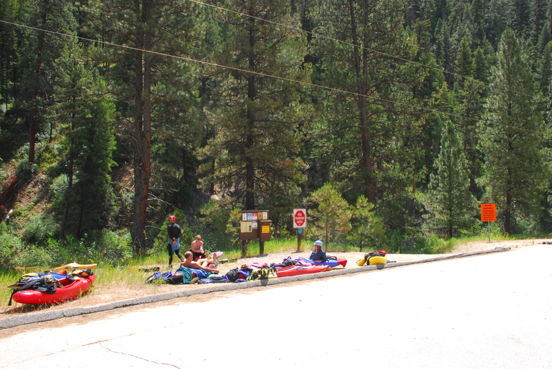
Photo
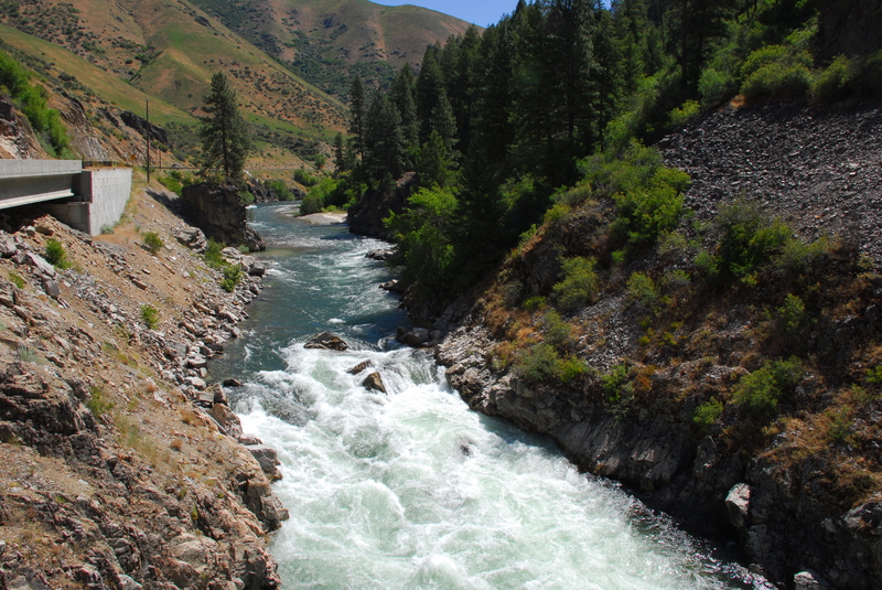
Photo courtesy of American Whitewater
Description
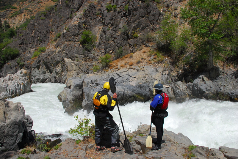
When driving up, you can scout your line from the road pull-out just downstream. From the river, the rapid is recognized by the large concrete retaining wall along river right. The standard line is to catch the eddy on river right at the top of the drop and then peel out with a right to center move.
Location
View Full Run
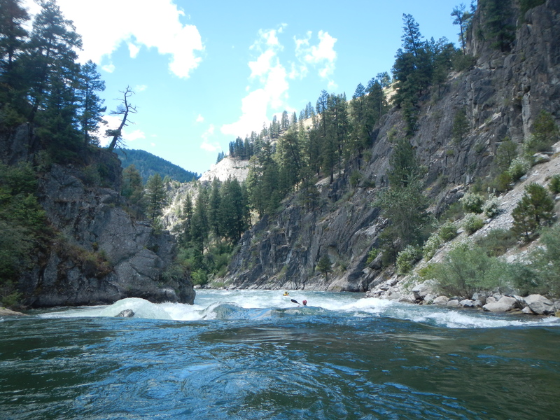
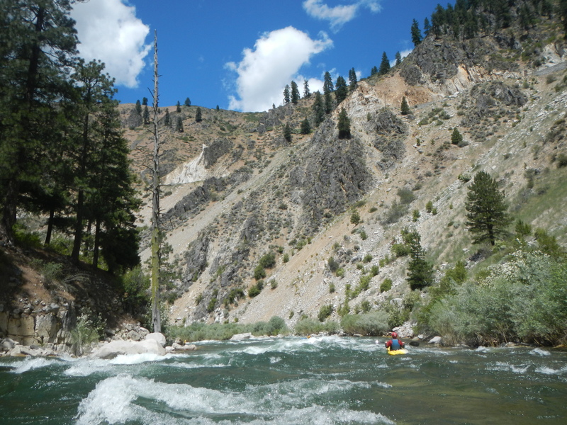
2 - Deadwood River to Danskin Station (The Canyon)
Payette, S. Fork
III-IV
12.0 mi
Current Conditions
5-Day Forecast
Whitewater data from
American Whitewater
American Whitewater