Rapid
NC
Loop Put-In/Take-Out Trailhead
Save this feature with the run it belongs to.
Gauge Conditions
Data from American Whitewater & USGS
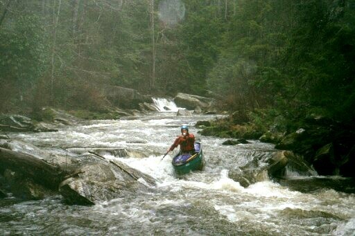
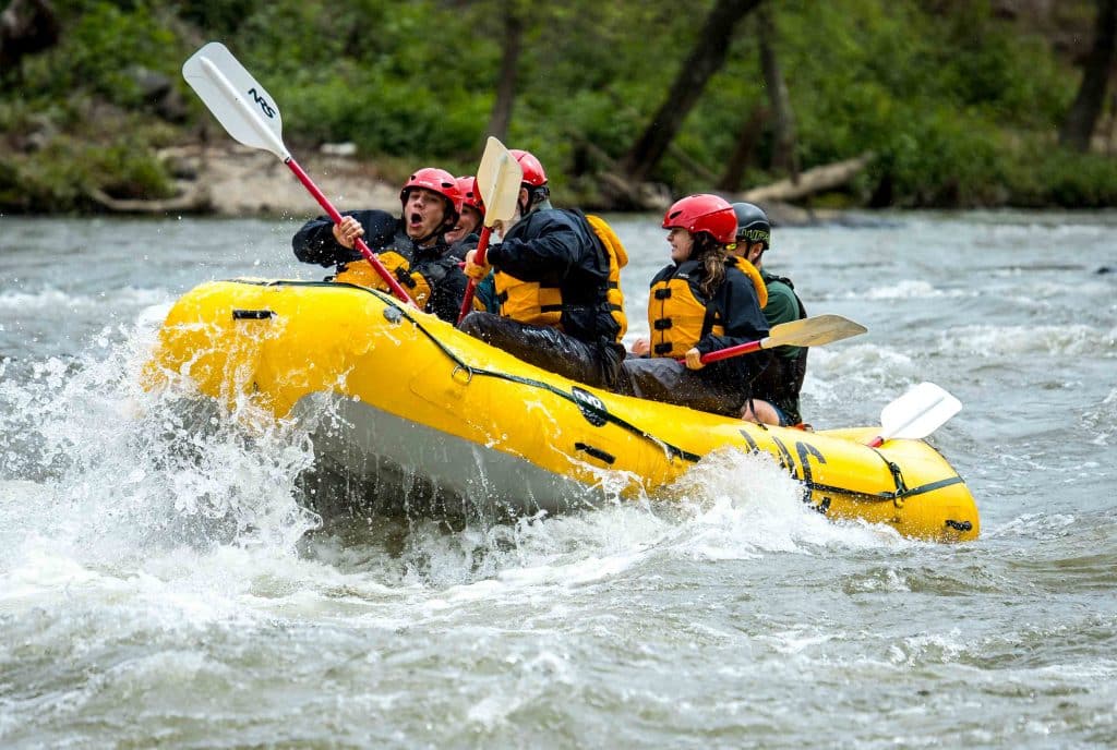
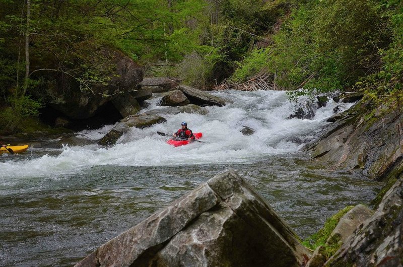
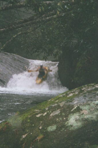
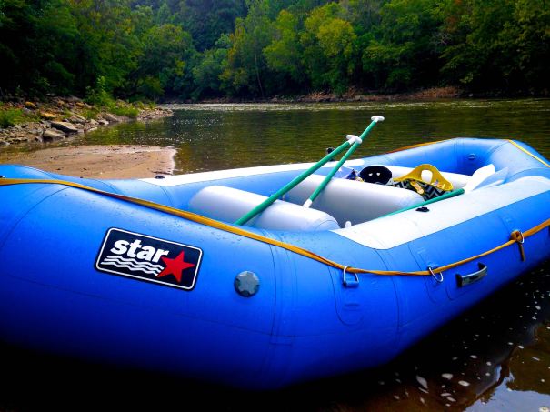
Photo
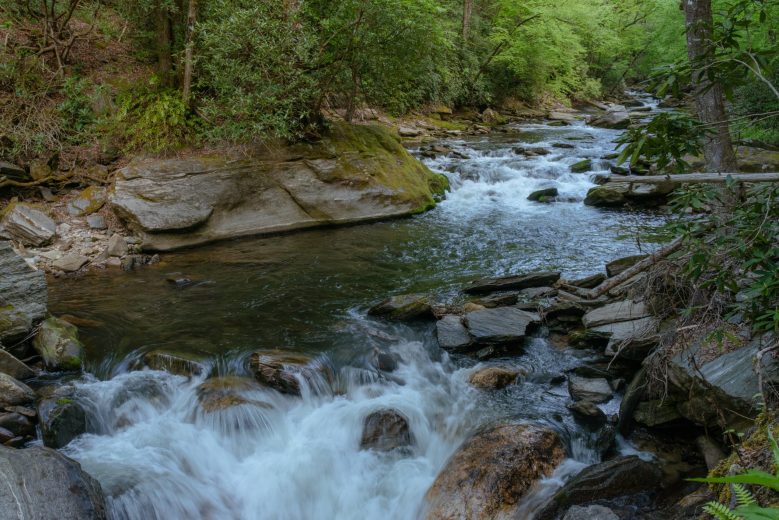
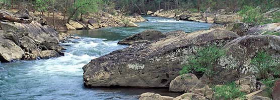
Photo courtesy of American Whitewater
Description
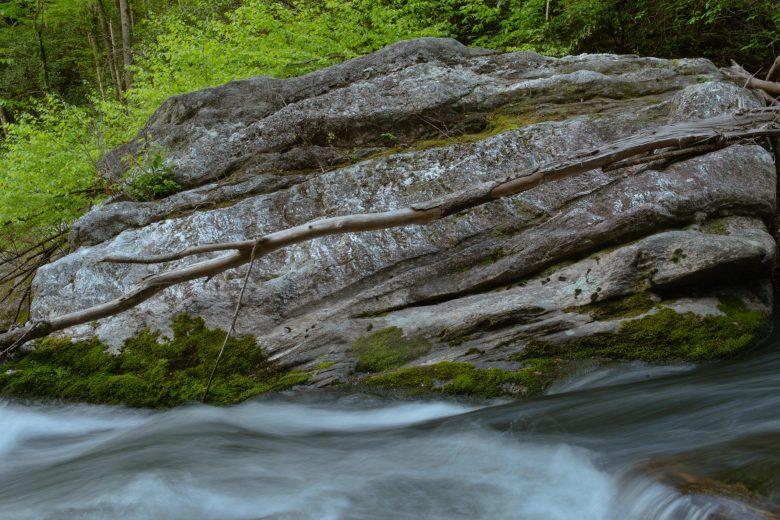
Park here and hike upstream along the power line to reach a put in, and then hike back out to this point a rapid or two after Submarine for a no-shuttle North Fork lap. Using this put-in takes out a little over a mile and a half on the run. You miss some flatwater, some class 2 stuff, and the big slide. Look for a pull-off on the left of N.C. 215 about a quarter mile past where the road makes a sharp turn to the right away from the gorge. The large pull-off, usually marked by a big puddle, is the 1/2 mile trail down to just below Submarine Falls. This also serves as a put in for folks wanting to paddle the Class III section downstream of Submarine.
Location
Other Rapids on This Run (13)
 Rapid
Rapid
Top put-in
 Rapid
III+
Rapid
III+
Sandpaper aka Bent Field Falls
 Waterfall
IV
Waterfall
IV
Boxcar Falls
 Rapid
IV+
Rapid
IV+
Island Rapid
 Rapid
III+
Rapid
III+
Typewritter, aka. Diagraslide
 Rapid
IV
Rapid
IV
Razorback aka Water Cannon
 Rapid
IV+
Rapid
IV+
Clog
 Rapid
IV
Rapid
IV
Vortex
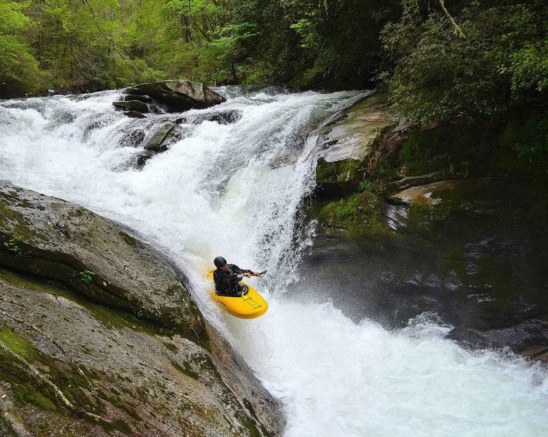
 Waterfall
IV+
Waterfall
IV+
Submarine
 Playspot
play wave
 Rapid
II+
Rapid
II+
Crack pipe
Rapid
Alligator Rock takeout
 Rapid
N/A
Rapid
N/A
Headwaters Outfitters Take Out
View Full Run
2) Route 1326 Bridge to US Route 64 Bridge
French Broad, North Fork
III-IV+
7.2 mi
Current Conditions
5-Day Forecast
Whitewater data from
American Whitewater
American Whitewater