Lower Kettle Rapids
Save this feature with the run it belongs to.
Gauge Conditions
Runnable: 1,000.0 – 5,000.0 CFS
Uncertain! Help us out! Add a comment about boatable range!
Data from American Whitewater & USGS
Description
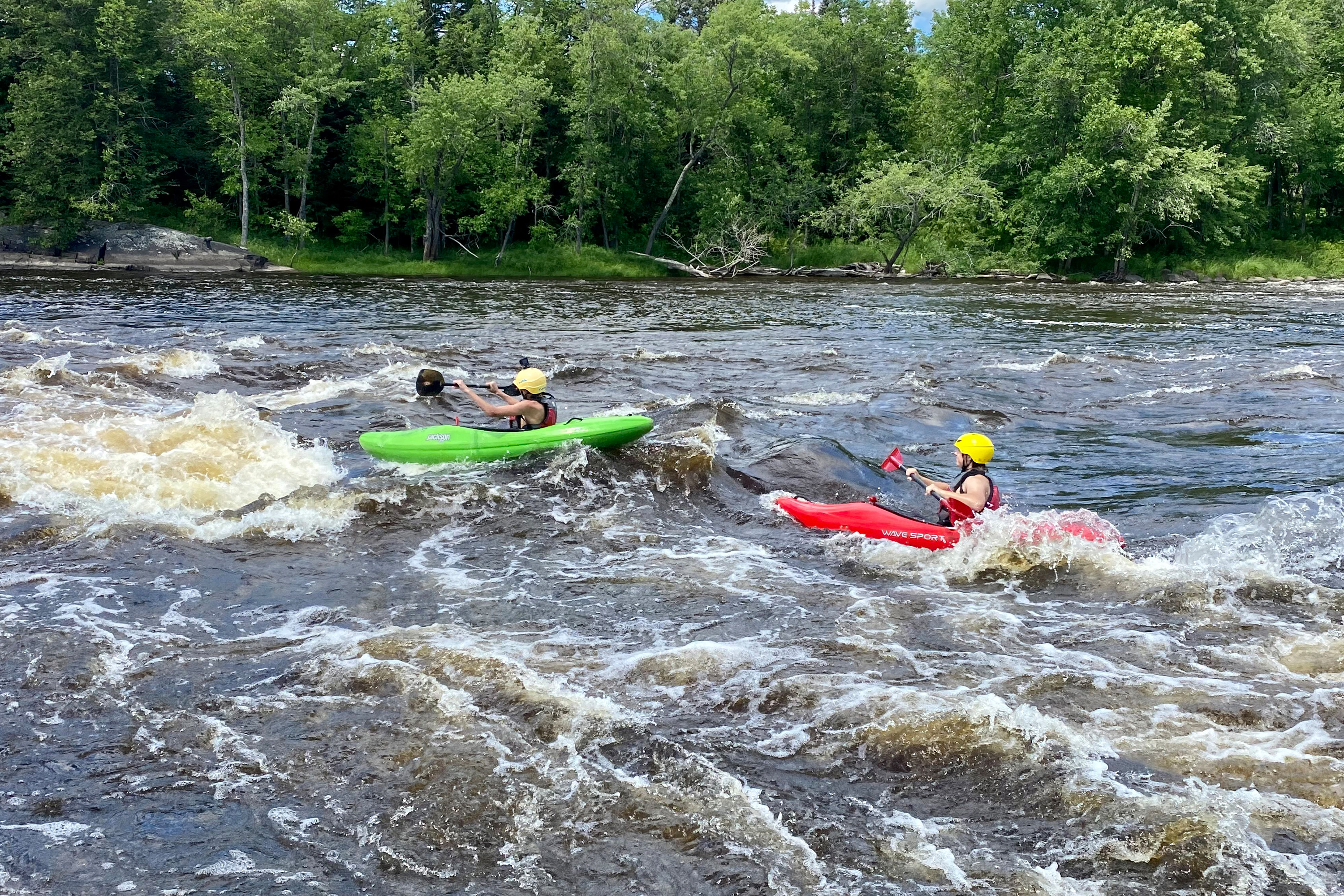
Rapid on the Kettle River Slough Channel.
Location
Interactive river map
Loads as you approach this section.
Other Rapids on This Run (20)
Rapid
I
State Line Rapids
Rapid
N/A
Lower Tamarack Landing
 Rapid
I
Rapid
I
Ledge Drop
Rapid
N/A
Thayers Landing
Rapid
N/A
Little Yellow Banks Landing
Rapid
N/A
St. Croix State Park Main Landing
Rapid
N/A
Sand Creek Landing
Rapid
N/A
Norway Point Landing
Rapid
N/A
Nelsons Landing
Rapid
I
Pike Rapids
Rapid
N/A
Head of the Rapids Landing
Rapid
II
Big Beef Rapids
Rapid
I
Upper Kettle Rapids
 Rapid
N/A
Rapid
N/A
Fox Landing
Rapid
II
August Olson Rapids
Rapid
N/A
Snake River Landing
Rapid
N/A
Soderbeck Landing
Rapid
N/A
Sandrock Cliffs
Rapid
N/A
Highway 70 Landing
 Rapid
N/A
Rapid
N/A
Raspberry Landing
View Full Run
B) Riverside Landing to St. Croix Falls (up to 77 miles)
St. Croix
I-II
77.0 mi
Current Conditions
5-Day Forecast
Whitewater data from
American Whitewater
American Whitewater