B) Riverside Landing to St. Croix Falls (up to 77 miles)
Gauge Conditions
Runnable: 1,000.0 – 5,000.0 CFS
Uncertain! Help us out! Add a comment about boatable range!
Data from American Whitewater & USGS
Run Map
Run Time Estimate
Select put-in and take-out to estimate time.
Plan This Trip
See wind-adjusted speed maps, forecast planning, and detailed time estimates.
Sign in to generate an AI timing estimate for this run.
Whitewater timing varies with scouting, portages, and group pace. Use as a planning baseline.
Description
The St. Croix was designated as one of the original 8 Wild and Scenic Rivers in 1968 as part of the St. Croix Wild and Scenic River. Formal access points are provided every few miles at bridge crossings and parks along the river, some of which provide overnight camping. Despite the number of access points that make it easy to customize a trip to fit your skills and time avaialable, the river still retains its wild character. Along the river designated camp sites (small 8 person sites and large 16 person sites) serve river runners with fire rings and pit toilets. The available campsites can get full on summer weekends.
Most use open canoes for trips on the river and while much of the run is flatwater there are some easy class II rapids that require manuvering particularly in the section from Nelsons Landing to Soderbeck Landing. The river is administered by the National Park Service which provides additional information on rules and regulations along with detailed maps and advice on how to enjoy your trip:
St. Croix National Scenic Riverway
Sections of the river between Riverside Landing and St. Croix Falls include the following:
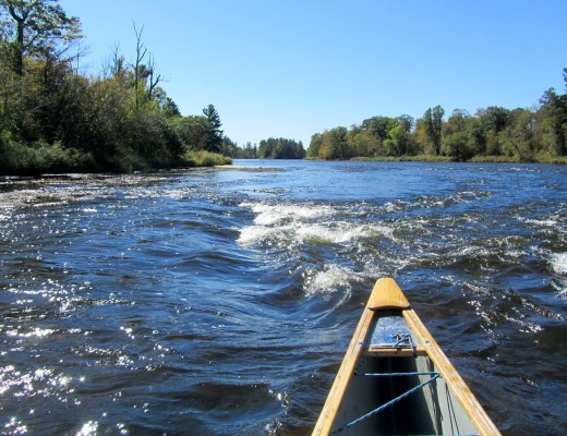
1) Riverside to Thayers Landing (13.4 miles, class I)
Most of this section is scenic flatwater with a couple of campsites.
Ginger Island signals the start of State Line Rapids, an easy rapid down the right channel around the island. From this point until the mouth of the river, the St. Croix River forms the Minnesota/Wisconsin border.
Paddlers are advised to stay to the river left side of the channel at the ledge just upstream of the MN-48/WI-77 bridge just above Thayers Landing.
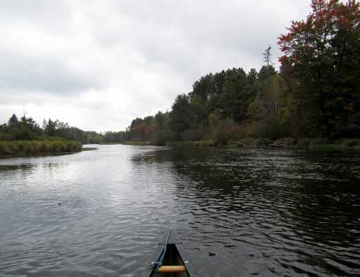
2) Thayers Landing to Norway Point (14.3 miles, class I)
This section of river is flatwater that passes through the St. Croix State Park and Governor Knowles State Forest with a few river campsites as well as opportunities to camp in a developed campground.
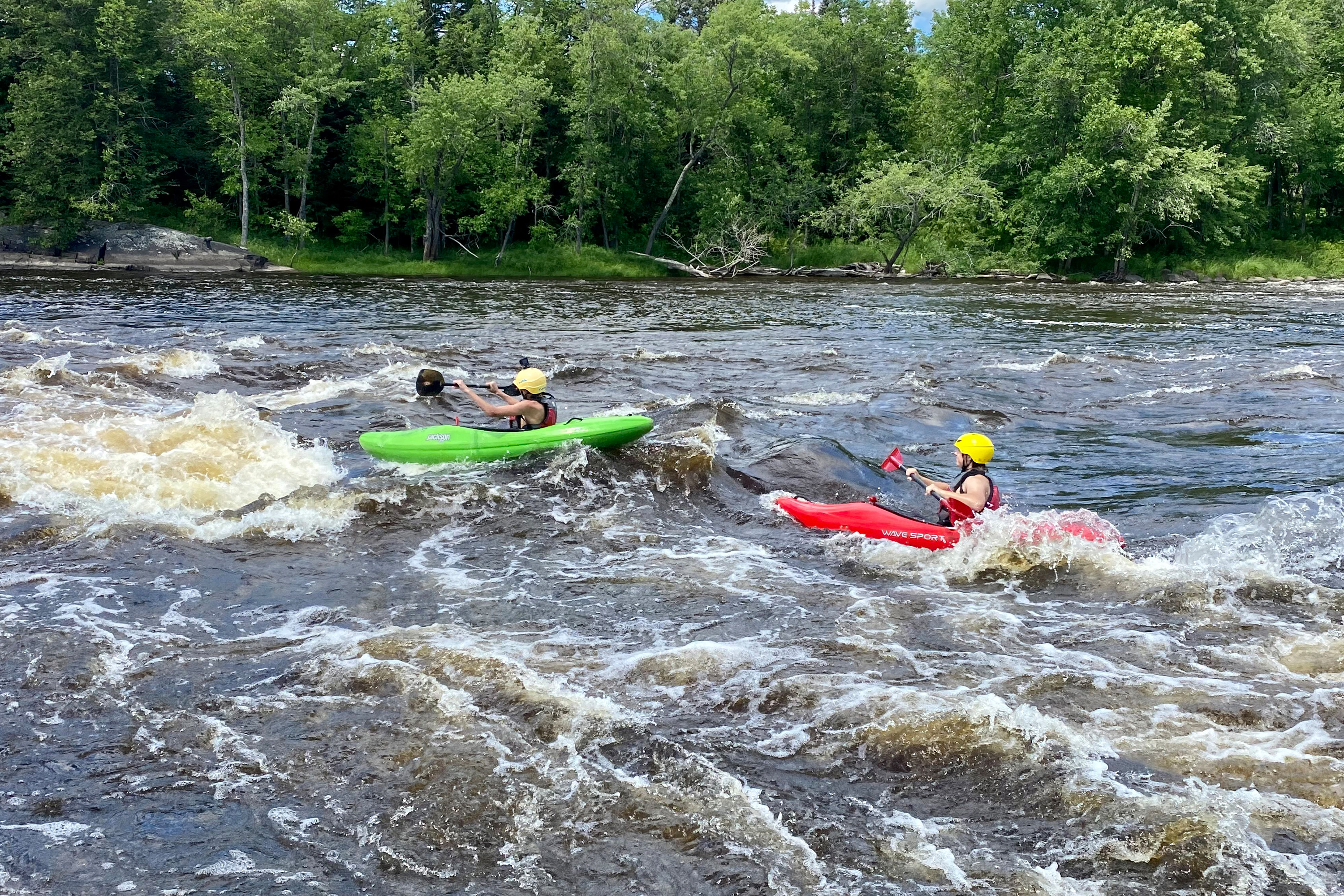
3) Norway Point to Soderbeck Landing (10.4 miles, class I/II)
Numerous minor rapids (class I-II) populate this reach. Many large islands split the flow, effectively making this two separate trips.
Some river descriptions suggest 'swapping streams', starting in the left channel for 2.5 miles, then (just past "Fox Landing") dragging a half mile up a 'cut-through' channel to swap over to the right channel for the better rapids in its lower reaches.
There are a few campsites along this section.
4) Soderbeck Landing to Nevers Dam Landing (29.8 miles, class I)
This flatwater section of the river is noticeably wider and than the sections upstream of the Kettle River confluence. The dramatic Sandrock Cliffs are found near river mile 91 on river left.
The Nevers Dam, which was originally constructed in 1890 to manage log transport was removed in the mid 1950s.
There are a few river-based campsites and some of the river access points provide camping.
5) Nevers Dam Landing to St. Croix Falls Dam (9.3 miles, class (I)
This section of the river is classified as recreational, in constrast to the scenic-classified sections upstream. There are several campsites along this section of river.
While this reach is now characterized by flatwaters that was not always the case. The Falls of the St. Croix River was a series of cascades dropping 55 feet in less than six miles that was impounded by the St. Croix Falls Dam in 1907. While the dam produces hydropower, restoring this stretch of river would add dramatically change the character of this section of the river.
River runners can continue downstream on the St. Croix River by portaging the hydropower dam on river right.
Rapids in this Run (31)
Rapid
I
State Line Rapids
Rapid
Lower Tamarack Landing
 Rapid
I
Rapid
I
Ledge Drop
Rapid
Thayers Landing
Rapid
Little Yellow Banks Landing
Rapid
St. Croix State Park Main Landing
Rapid
Sand Creek Landing
Rapid
Norway Point Landing
Rapid
Nelsons Landing
Rapid
I
Pike Rapids
Rapid
Head of the Rapids Landing
Rapid
II
Big Beef Rapids
Rapid
I
Upper Kettle Rapids
 Rapid
Rapid
Fox Landing
Rapid
I
Lower Kettle Rapids
Rapid
II
August Olson Rapids
Rapid
Snake River Landing
Rapid
Soderbeck Landing
Rapid
Sandrock Cliffs
Rapid
Highway 70 Landing
 Rapid
Rapid
Raspberry Landing
 Rapid
Rapid
Stevens Creek Landing
Rapid
Old Railroad Bridge Rapid
Rapid
County Road O Landing
 Rapid
Rapid
Rush City Ferry Landing
Rapid
Sunrise Ferry Landing
Rapid
Sunrise River Landing
Rapid
Nevers Dam Landing
Rapid
Wild River Landing
Rapid
Lion's Park Landing (right)
Rapid
Lions Park Landing (left)
Difficulty
Class I-II
Length
77.0 mi
Rapids
31
Access Points
Difficulty Classes
I Easy
II Novice
III Intermediate
IV Advanced
V Expert/Extreme
VI Unrunnable
Current Conditions
5-Day Forecast
Whitewater data from
American Whitewater
American Whitewater